Río Chaschuil o Guanchín
Río Chaschuil o Guanchín
- Boat Ramps
- 0
- Access Points
- 0
- Campsites
- 1
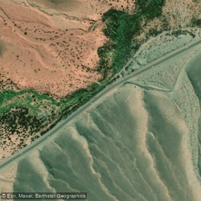
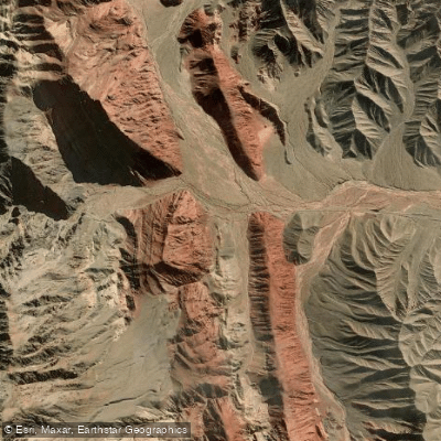
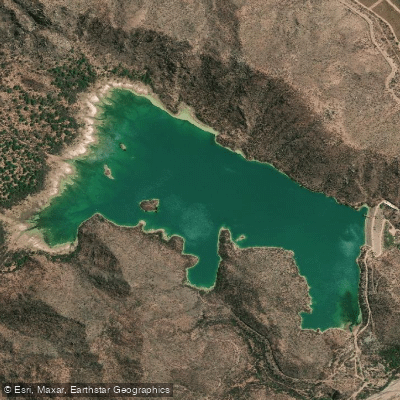
The Río Chaschuil, also known as Río Guanchín, is a stream flowing through the high-altitude landscapes of Catamarca Province in northwestern Argentina. The river's upper basin is situated within the geological provinces of the Cordillera Frontal and the Famatina System, at elevations exceeding 3500 meters above sea level. This high-mountain origin contributes to its character, with the river receiving permanent water from tributaries such as the Río Las Peladas and Río Las Lozas. The stream flows near the small settlement of La Ramadita, and a specific access point for water-based activities is noted at Quebrada de la Angostura, which offers easy access to the river. The overall area is remote and characterized by its significant altitude, suggesting a paddling experience suited for those prepared for a high-desert or mountainous environment. The river's water quality has been the subject of monitoring studies within its basin, indicating a focus on environmental conditions in the region. The aesthetic is defined by its Andean setting, with the river carving through a dramatic geological landscape. The presence of a designated access point at Quebrada de la Angostura confirms the river's use for recreational activities like fishing, which implies potential for paddling excursions in this isolated part of Argentina.
Water access, boat ramps & amenities
Learn how to get on Río Chaschuil o Guanchín. Uncover great paddling access points, boat ramps, and all the facilities you need for an unforgettable day on the water. Some locations shown may border or include private property. Always check property boundaries and applicable regulations before visiting. PaddleWays's Public & Private Land layer can help you plan your access with confidence.
Paddle smarter with real-time insights
Whether you're en route and conditions shift or you're looking for the best spot based on current flows, we enable you to make informed decisions on the fly.







Catamarca licenses and regulations

Find Places to Paddle

Over 400,000 Places to Paddle
Every user gets free access to launch points, boat ramps, and public property parcels.


Water and weather conditions (10 day forecast)
See the best times to paddle Río Chaschuil o Guanchín and check the forecast before you go.
No forecast data available.
Paddling near Río Chaschuil o Guanchín
Explore Catamarca waters
Top paddling waters
No waters available right now.
Popular Cities
Loading popular cities...
Explore near Río Chaschuil o Guanchín
Access points
More in Catamarca

Smarter Paddling Starts in the App.
Paddleways gives you everything you need to plan smarter, paddle better, and own every trip from first launch to takeout.