Río Uruguay

Río Uruguay
- Boat Ramps
- 11
- Access Points
- 0
- Campsites
- 16
The Río Uruguay is a major South American river flowing north to south, forming part of the international boundaries between Brazil, Argentina, and Uruguay. Along the Argentine side, it separates the Mesopotamia provinces from Brazil and Uruguay, eventually joining the Paraná River to form the Río de la Plata estuary. The river is navigable from around Salto Chico, and the island-channel system in the Entre Ríos province represents one of the most intact natural environments along the Argentine littoral.
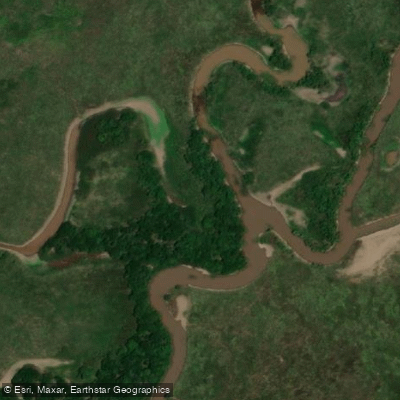
The stretch between Colonia Elía and Concepción del Uruguay is particularly well-suited to kayaking. This section features low-current channels, dense riparian vegetation, sandy beaches, and a network of islands accessible only by water. The paddling character here is moderate in difficulty — multiple hours of paddling per day through stable, low-current channels with no rapids or technical whitewater. The primary challenge is the cumulative duration of paddling over multiple days and adapting to basic camping conditions rather than any technical demands on the water.
Colón, in Entre Ríos province, serves as a practical base for kayak trips on this section of the river, located approximately four hours from Buenos Aires by road. Guided multi-day expeditions typically depart from Colonia Elía and traverse the island system over three days, with overnight stays at shelters or campsites within the islands. Day tours are also available, generally running around two and a half hours on the water with a rest stop at a campsite midway.
Wildlife along this corridor is diverse. Herons, kingfishers, cardinals, and a wide variety of riparian forest bird species are regularly observed. The islands support dense native vegetation, and the absence of motorized boat traffic in many of the interior channels contributes to a relatively undisturbed natural environment.
Infrastructure within the island system is limited. Phone signal, electricity, and bathroom facilities vary by location, and paddlers should plan accordingly. Guided operations typically provide kayaks, paddles, life jackets, safety equipment including VHF radios, first aid kits, and a support boat for gear transport. Sleeping bags are generally not included in outfitted trips and must be brought independently.
Water access, boat ramps & amenities
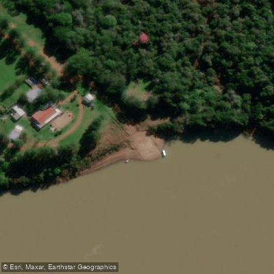
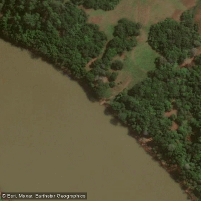
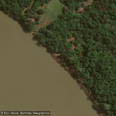
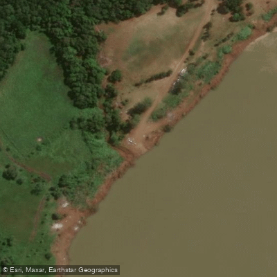
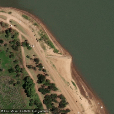
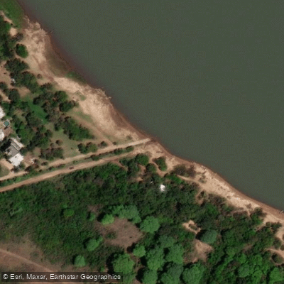
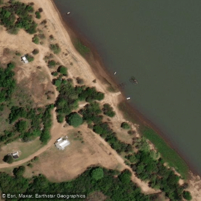
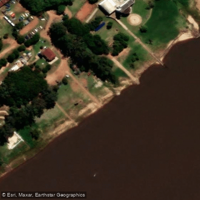
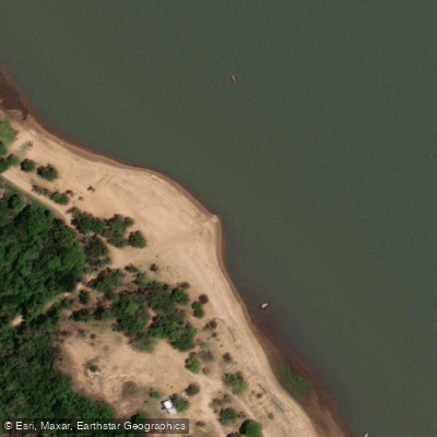
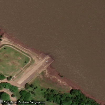
Learn how to get on Río Uruguay. Uncover great paddling access points, boat ramps, and all the facilities you need for an unforgettable day on the water. Some locations shown may border or include private property. Always check property boundaries and applicable regulations before visiting. PaddleWays's Public & Private Land layer can help you plan your access with confidence.
Paddle smarter with real-time insights
Whether you're en route and conditions shift or you're looking for the best spot based on current flows, we enable you to make informed decisions on the fly.







Corrientes licenses and regulations

Find Places to Paddle

Over 400,000 Places to Paddle
Every user gets free access to launch points, boat ramps, and public property parcels.


Water and weather conditions (10 day forecast)
See the best times to paddle Río Uruguay and check the forecast before you go.
Pepirí Miní
All Flow Stations
Explore Corrientes waters
Top paddling waters
No waters available right now.
Popular Cities
Loading popular cities...
Explore near Río Uruguay

Smarter Paddling Starts in the App.
Paddleways gives you everything you need to plan smarter, paddle better, and own every trip from first launch to takeout.