Río Dulce
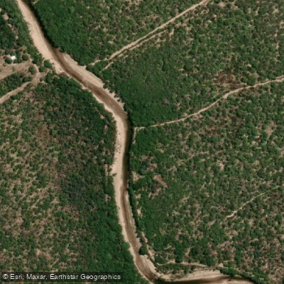
Río Dulce
- Boat Ramps
- 0
- Access Points
- 0
- Campsites
- 1
The Río Dulce is the most important river in the Argentine province of Santiago del Estero. Known in Quechua as Misky Mayu, it originates in Tucumán Province as the Salí River before changing names upon entering Santiago del Estero, then runs approximately 450 kilometres southeast through the province before eventually emptying into the Mar Chiquita salt lake in Córdoba Province. The river flows through the Argentine Espinal ecoregion across sandy, arid terrain, and the banks are characterized by trees that frequently fall into the water, creating structure both above and below the surface. Large sandbars form regularly along the course of the river.
The river is navigable by kayak and canoe along multiple stretches. One popular route runs from the city of Santiago del Estero downstream to San Pedro, covering roughly 27 kilometres. A longer multi-day route of approximately 100 kilometres passes through the Paso de los Oscares area and can be completed in three days, with paddlers covering around 45 kilometres on the first day, 35 on the second, and 20 on the third. Another route runs from near Telares (off Route 7) to Route 13, covering about 42 kilometres, and is known for abundant wildlife despite sometimes low water levels. A further route connects Santiago del Estero to Puente La Dormida on Route 18, near Loreto and Brea Pozo, spanning roughly 96 kilometres. The stretch near Loreto is also popular for fly-fishing, with guides offering float trips on inflatable rafts and catamarans.
Wildlife along the river is a notable feature of the paddling experience, with capybaras, river otters, snakes, and a wide variety of birds commonly sighted. The river's sandy soils are subject to ongoing erosion, and fallen trees in the water represent a potential hazard for paddlers to navigate around.
A kayak school operates at the Costanera del Río Dulce in the city of Santiago del Estero, run through the Club Ciclista Olímpico, providing organized paddling infrastructure in the urban section of the river. Water quality concerns exist upstream, as the Salí River — which feeds the Río Dulce — has been affected by pollution from pulp mills in Tucumán Province, and this is worth considering when planning trips, particularly in upper sections of the river.
Water access, boat ramps & amenities
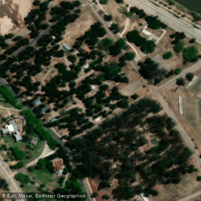
Learn how to get on Río Dulce. Uncover great paddling access points, boat ramps, and all the facilities you need for an unforgettable day on the water. Some locations shown may border or include private property. Always check property boundaries and applicable regulations before visiting. PaddleWays's Public & Private Land layer can help you plan your access with confidence.
Paddle smarter with real-time insights
Whether you're en route and conditions shift or you're looking for the best spot based on current flows, we enable you to make informed decisions on the fly.







Córdoba licenses and regulations

Find Places to Paddle

Over 400,000 Places to Paddle
Every user gets free access to launch points, boat ramps, and public property parcels.


Water and weather conditions (10 day forecast)
See the best times to paddle Río Dulce and check the forecast before you go.
Dulce - Paso de la Cina
All Flow Stations
Explore Córdoba waters
Top paddling waters
No waters available right now.
Popular Cities
Loading popular cities...
Explore near Río Dulce

Smarter Paddling Starts in the App.
Paddleways gives you everything you need to plan smarter, paddle better, and own every trip from first launch to takeout.