Río Quinto (Popopis)
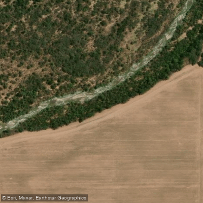
Río Quinto (Popopis)
- Boat Ramps
- 0
- Access Points
- 0
- Campsites
- 0
The Río Quinto, also known as the Popopis, is an endorheic river that originates in the Sierra de San Luis — either from springs near Cerro Retama or on the slopes of Cerro Tomolasta, depending on the interpretation — and flows generally eastward through central San Luis Province before entering the southern portion of Córdoba Province. The river does not reach the sea under normal conditions; it loses volume progressively through infiltration and evaporation before terminating in the Bañados de la Amarga, a geomorphological depression in southern Córdoba near the border with Buenos Aires Province. During exceptionally rainy seasons or El Niño years, flows can extend considerably further, occasionally reaching the Salado River basin. The river's length varies dramatically with season, from roughly 375 km in dry periods to as much as 878 km after heavy rainfall.
At Villa Mercedes, where the river transitions from the sierras toward the Pampas, it averages about 45 meters in width, giving a sense of its scale as a significant watercourse rather than a minor stream. The Represa El Chañar, situated near the San Luis–Córdoba provincial boundary, marks a practical starting point for paddling the Córdoba section. A documented canoe traverse ran from El Chañar downstream to the crossing at Ruta 27, completed in stages using a Canadian canoe. That stretch passes through varied landscapes combining sierra terrain and open plains, and includes some rapids as well as a waterfall of approximately 3 meters in height, which represents a significant hazard requiring scouting or portaging. The scenery along this corridor reflects the transition between the drier upland environment and the flat Pampas lowlands.
The river's endorheic and highly seasonal character means water levels can change substantially depending on rainfall, and paddlers should account for the possibility of very low flows in dry periods.
Water access, boat ramps & amenities
Learn how to get on Río Quinto (Popopis). Uncover great paddling access points, boat ramps, and all the facilities you need for an unforgettable day on the water. Some locations shown may border or include private property. Always check property boundaries and applicable regulations before visiting. PaddleWays's Public & Private Land layer can help you plan your access with confidence.
Paddle smarter with real-time insights
Whether you're en route and conditions shift or you're looking for the best spot based on current flows, we enable you to make informed decisions on the fly.







Córdoba licenses and regulations

Find Places to Paddle

Over 400,000 Places to Paddle
Every user gets free access to launch points, boat ramps, and public property parcels.


Water and weather conditions (10 day forecast)
See the best times to paddle Río Quinto (Popopis) and check the forecast before you go.
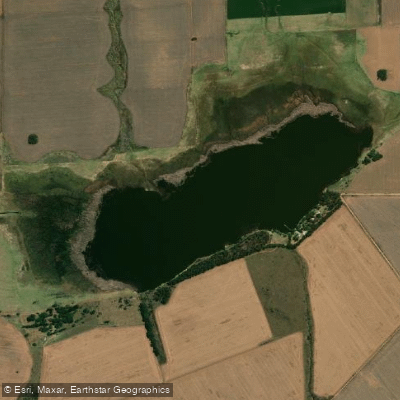
Quinto - R.N. 35
Explore Córdoba waters
Top paddling waters
No waters available right now.
Popular Cities
Loading popular cities...
Explore near Río Quinto (Popopis)
More in Córdoba

Smarter Paddling Starts in the App.
Paddleways gives you everything you need to plan smarter, paddle better, and own every trip from first launch to takeout.