Paddling in Parque Nacional El Palmar
- National Park
- Lakes
- 0
- Rivers
- 6
- Access
- 0
- Boat Ramps
- 0
- Shops
- 0
Parque Nacional El Palmar sits on the bank of the río Uruguay in the province of Entre Ríos, protecting a mosaic of palm savanna, native grassland, and riparian wetland.
The water here is calm — no whitewater, no significant gradient — but the park holds genuine paddling in the form of its arroyos and the broad river itself. The two waters that anchor the paddling are the arroyo Los Loros and the arroyo El Palmar.
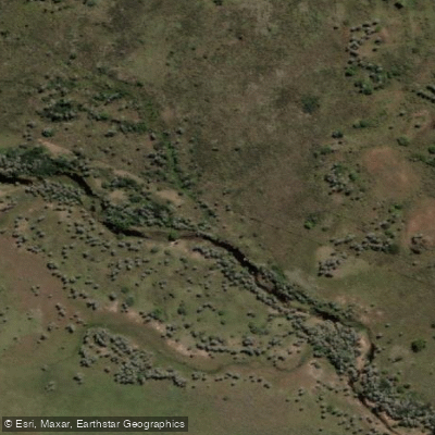
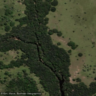
The arroyo Los Loros has a licensed concession operating out of an embarcadero on its bank; guided canoe excursions run daily and follow two circuits. The shorter one stays on the arroyo itself, covering roughly 1.
7 kilometers in a loop through the final stretch before the river mouth.
The second circuit exits onto the río Uruguay and tracks south along the shoreline — staying within about 80 meters of the bank — past the camping area, the estancia casco, and the Jesuitic ruins of La Calera del Palmar, for a total of around 2 kilometers.
Both circuits run about two hours. The arroyo El Palmar is accessible on foot via the sendero La Glorieta and leads to a small cascade in the riparian forest; canoe trips on this arroyo are also an activity at the adjacent Reserva La Aurora del Palmar.
The río Uruguay itself forms the eastern boundary of the park.
It is a large, open river, and the park's coast gives access to it — the historical area near the old muelle and the sunken boat remnants from the mid-twentieth-century gravel industry sits right on that bank.
Because this is a national park, the rules governing access and use are set by Parques Nacionales, not the province.
The concession operating on arroyo Los Loros is an authorized park service provider; contact them directly before visiting to confirm availability and reserve a spot.
For anything beyond the guided circuits — bringing your own kayak, paddling independently, or overnight river travel — check current regulations with the park administration before you go.
Rules in protected areas change, and what applies on the río Uruguay outside the park boundary may not apply inside it.
The paddling here is quiet and close-reading: flat water, short distances, and a landscape where the palm groves come down to the arroyo banks and capybaras watch from the shore.
That's the draw — not mileage or moving water, but the particular stillness of a Ramsar-listed wetland that has been left largely intact.
Top waters to paddle near Parque Nacional El Palmar
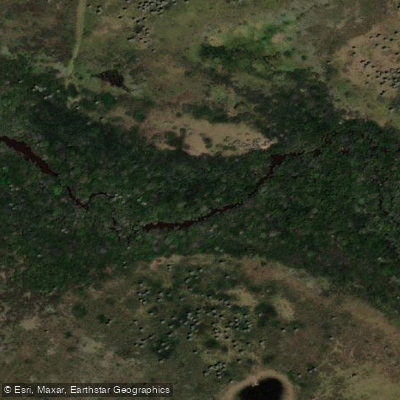
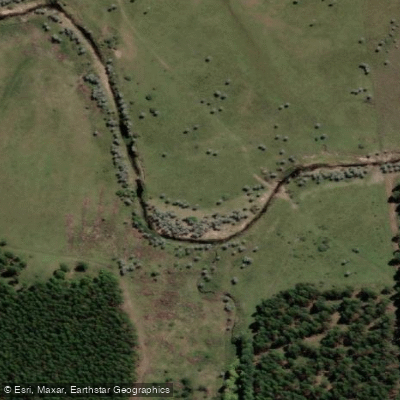
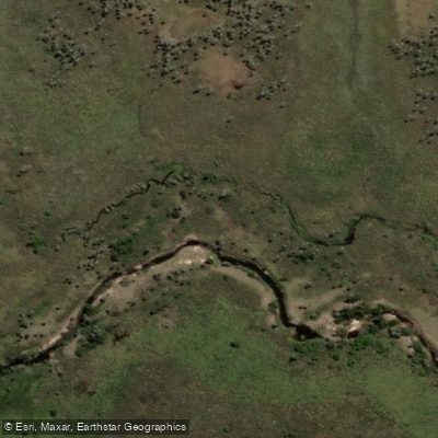
Water and weather conditions (10 day forecast)
See the best times to paddle Parque Nacional El Palmar and check the forecast before you go.
No forecast data available.
Paddle smarter with real-time insights
Whether you're en route and conditions shift or you're looking for the best spot based on current flows, we enable you to make informed decisions on the fly.







Paddling near Parque Nacional El Palmar
Loading...
Gateway towns
Where to base yourself for paddling in Parque Nacional El Palmar.
- ColónEntre Ríos
The main base for El Palmar, with the widest choice of hotels, hostels, restaurants, and tour services for the park.
- UbajayEntre Ríos
The small town closest to the park entrance, where the access road begins and some lodging options are available.
Explore Parque Nacional El Palmar
Top paddling waters
Popular Cities
Loading popular cities...

Smarter Paddling Starts in the App.
Paddleways gives you everything you need to plan smarter, paddle better, and own every trip from first launch to takeout.