Bakers Creek
- Saltwater
- Estuary
Bakers Creek
- Saltwater
- Estuary
- Sq. miles
- 6.1
- Boat Ramps
- 0
- Access Points
- 0
- Campsites
- 0
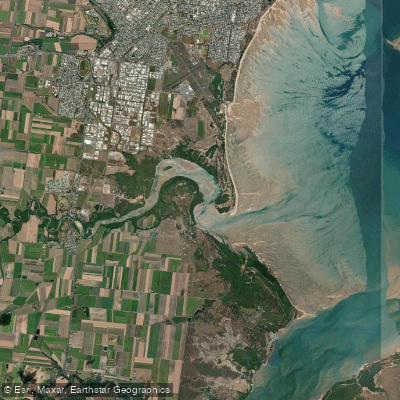
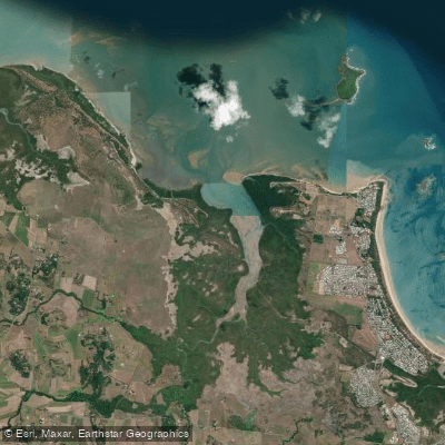
Bakers Creek is a tidal creek located approximately six kilometers south of Mackay in Queensland, Australia. The primary access point for paddlers is within the Bakers Creek Conservation Park, which borders the creek. The creek is a protected tidal waterway with minimal current, making it suitable for paddleboarding, kayaking, and canoeing. The water is influenced by the ocean tides, and paddling is popular year-round. The surrounding landscape is characterized by mangroves and sandbars, creating a scenic and natural environment. The aesthetic is defined by its proximity to the conservation park, offering a quiet, nature-focused paddling experience away from urban development. Notable wildlife includes fish, turtles, shorebirds, and water dragons, with a request for paddlers to avoid disturbing these animals. A specific safety consideration is to respect the rules of the conservation park. There are no indicated restrictions on paddling itself. For amenities, the Mycow Caravan Park and Campground is situated on the edge of the creek, offering a boardwalk, a fishing pier, and a BBQ deck along the water's edge, which could serve as potential informal access or take-out points for paddlers. The campground provides facilities like toilets, showers, and a camp kitchen. The creek is also near ongoing industrial development, but the paddling experience is centered on the natural areas of the conservation park. Paddlers should be aware of potential boat traffic, though fishing activity is noted. The waterway's size and specific route details are not provided, but its protected nature suggests it is a relatively calm and narrow creek ideal for leisurely exploration.
Water access, boat ramps & amenities
Learn how to get on Bakers Creek. Uncover great paddling access points, boat ramps, and all the facilities you need for an unforgettable day on the water. Some locations shown may border or include private property. Always check property boundaries and applicable regulations before visiting. PaddleWays's Public & Private Land layer can help you plan your access with confidence.
Paddle smarter with real-time insights
Whether you're en route and conditions shift or you're looking for the best spot based on current flows, we enable you to make informed decisions on the fly.







Queensland licenses and regulations

Find Places to Paddle

Over 400,000 Places to Paddle
Every user gets free access to launch points, boat ramps, and public property parcels.


Tides, wind & water conditions (10 day forecast)
On open water, wind and tide matter as much as the weather. See the best times to paddle Bakers Creek and check the marine forecast before you launch.
Loading tide predictions…
Paddling near Bakers Creek
Pioneer River
Constant Creek
Sandy Creek
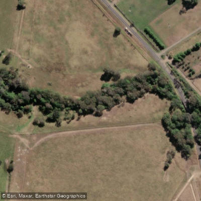
Cabbage Tree Creek
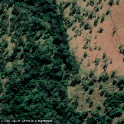
Prospect Creek
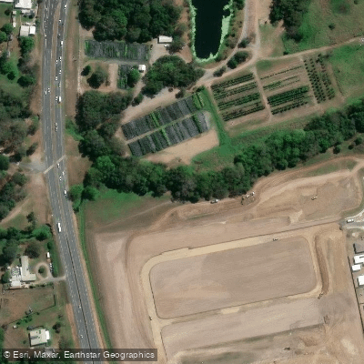
McCreadys Creek
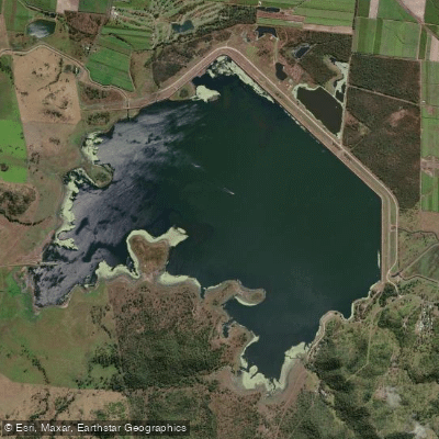
Lake Kinchant
Reliance/Leila Creek
Rocky Dam Creek
Explore Queensland waters
Top paddling waters
No waters available right now.
Popular Cities
Loading popular cities...
Explore near Bakers Creek

Smarter Paddling Starts in the App.
Paddleways gives you everything you need to plan smarter, paddle better, and own every trip from first launch to takeout.