Corio Bay
- Saltwater
- Estuary
Corio Bay
- Saltwater
- Estuary
- Sq. miles
- 19
- Boat Ramps
- 0
- Access Points
- 0
- Campsites
- 0
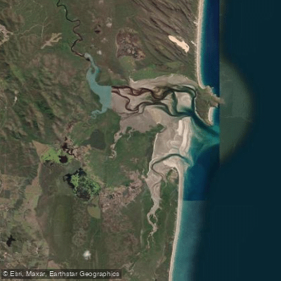
Corio Bay is a large, shallow coastal estuary in Central Queensland, forming a significant part of the Capricorn Coast. It connects via creeks and channels to the open waters of Keppel Bay and the Southern Great Barrier Reef. The bay's geography is characterized by extensive tidal flats, sand banks, and rock bars at the entrances of its feeder creeks, requiring local knowledge or careful navigation for paddlers moving between the bay and open water. The predominant estuarine sediment is sandy. There are currently two designated boat launching areas providing access to Corio Bay. One is located at Sandy Point into Fishing Creek, and the other is off the northern end of Corbett's Landing Road in Byfield, where boats may also be landed on beaches. These launches offer paddlers entry into a network of creeks and the broader bay. The area is part of a recognized wetland system and features sweeping beaches backed by world-heritage listed wetlands. Paddlers share these waters with other boat traffic, as locations like Stockyard, Corbett's Landing, and Sandfly Creek are popular fishing spots. The surrounding region includes the Byfield National Park, with rolling hillocks, mountains, and forested streams, contributing to a remote and natural aesthetic. The environmental sensitivity of the area, including marine turtle nesting habitats within the broader wetland system, suggests paddlers should exercise particular care to minimize their impact.
Water access, boat ramps & amenities
Learn how to get on Corio Bay. Uncover great paddling access points, boat ramps, and all the facilities you need for an unforgettable day on the water. Some locations shown may border or include private property. Always check property boundaries and applicable regulations before visiting. PaddleWays's Public & Private Land layer can help you plan your access with confidence.
Paddle smarter with real-time insights
Whether you're en route and conditions shift or you're looking for the best spot based on current flows, we enable you to make informed decisions on the fly.







Queensland licenses and regulations

Find Places to Paddle

Over 400,000 Places to Paddle
Every user gets free access to launch points, boat ramps, and public property parcels.


Tides, wind & water conditions (10 day forecast)
On open water, wind and tide matter as much as the weather. See the best times to paddle Corio Bay and check the marine forecast before you launch.
Loading tide predictions…
Paddling near Corio Bay
Fitzroy River
Splitters Creek
Cawarral Creek
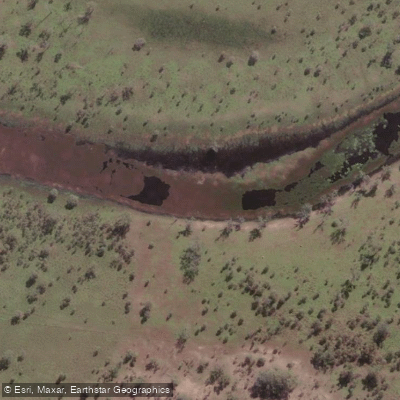
Serpentine Creek
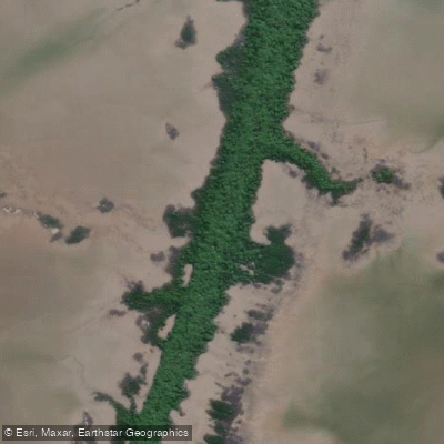
Inkerman Creek
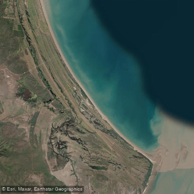
Cattle Point Beach
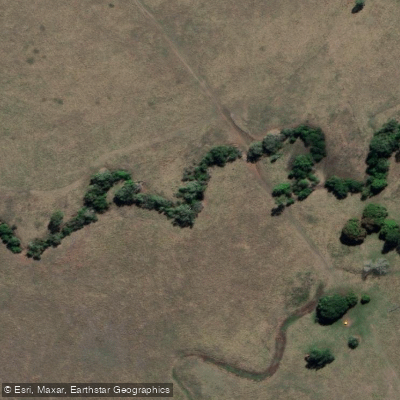
Station Creek
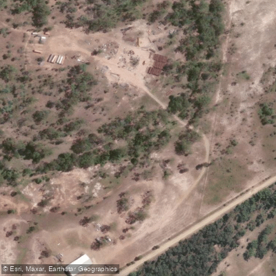
Washpool Creek
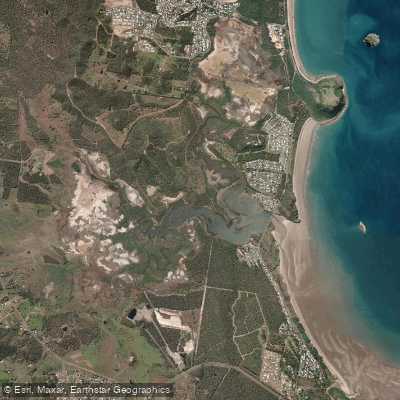
Causeway Lake
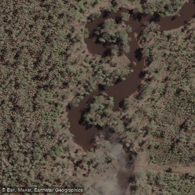
Hedlow Creek
Explore Queensland waters
Top paddling waters
No waters available right now.
Popular Cities
Loading popular cities...
Explore near Corio Bay

Smarter Paddling Starts in the App.
Paddleways gives you everything you need to plan smarter, paddle better, and own every trip from first launch to takeout.