Eurimbula Creek
- Saltwater
- Estuary
Eurimbula Creek
- Saltwater
- Estuary
- Sq. miles
- 3
- Boat Ramps
- 0
- Access Points
- 0
- Campsites
- 0
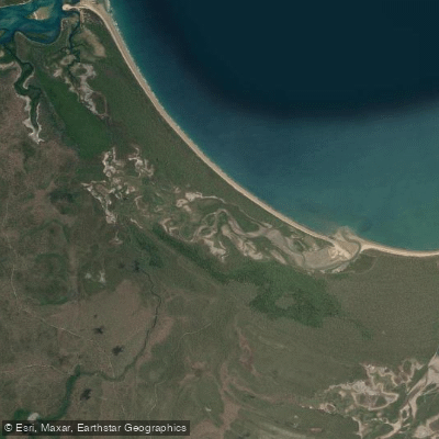
Eurimbula Creek is a coastal tidal creek within Eurimbula National Park, located approximately 112km north-west of Gladstone, near Agnes Water and the Town of 1770. The primary paddling launch point is the boat ramp at the Eurimbula Creek camping area, which is accessible via a 4WD-only track that is slow, bumpy, and winding, with several water crossings that become more challenging in the wet season. The camping area itself provides basic facilities including toilets, drinking water, and BBQ areas. Paddling is best undertaken at high tide, as this is explicitly recommended for exploring the creek by boat or canoe, allowing for easier navigation of the tranquil coastal waterways and mangrove systems. The creek is part of the designated Eurimbula sea trail, a network of coastal waterways. The area is noted for its botanical diversity, featuring protected mangroves, coastal vine thickets, and littoral rainforest along the banks. Wildlife sightings include cormorants and other birdlife. The overall character is one of a remote, peaceful natural setting accessible only by off-road vehicles, with the access road taking roughly 45 minutes from the main road. The water body is a saltwater estuary, and paddlers should be prepared for potential insect pests like midges. The remote nature of the access road and the tidal dependence are key planning considerations.
Water access, boat ramps & amenities
Learn how to get on Eurimbula Creek. Uncover great paddling access points, boat ramps, and all the facilities you need for an unforgettable day on the water. Some locations shown may border or include private property. Always check property boundaries and applicable regulations before visiting. PaddleWays's Public & Private Land layer can help you plan your access with confidence.
Paddle smarter with real-time insights
Whether you're en route and conditions shift or you're looking for the best spot based on current flows, we enable you to make informed decisions on the fly.







Queensland licenses and regulations

Find Places to Paddle

Over 400,000 Places to Paddle
Every user gets free access to launch points, boat ramps, and public property parcels.


Tides, wind & water conditions (10 day forecast)
On open water, wind and tide matter as much as the weather. See the best times to paddle Eurimbula Creek and check the marine forecast before you launch.
Loading tide predictions…
Paddling near Eurimbula Creek
Fitzroy River
Splitters Creek
Cawarral Creek
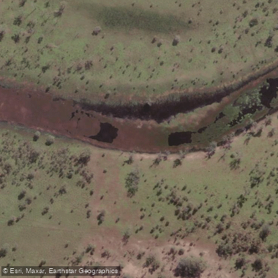
Serpentine Creek
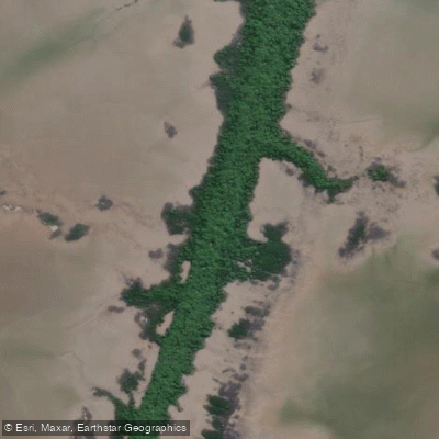
Inkerman Creek
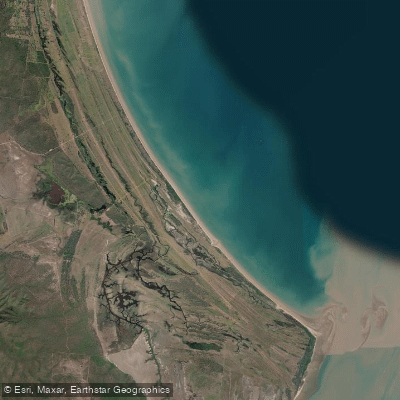
Cattle Point Beach
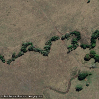
Station Creek
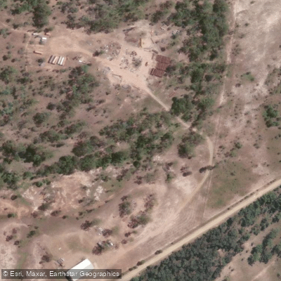
Washpool Creek
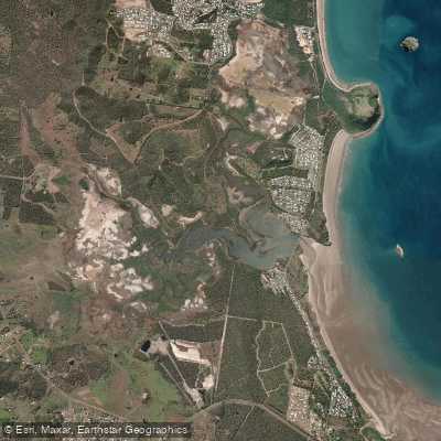
Causeway Lake
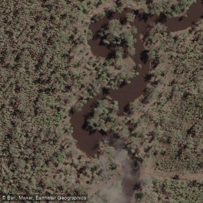
Hedlow Creek
Explore Queensland waters
Top paddling waters
No waters available right now.
Popular Cities
Loading popular cities...
Explore near Eurimbula Creek

Smarter Paddling Starts in the App.
Paddleways gives you everything you need to plan smarter, paddle better, and own every trip from first launch to takeout.