Lake Maraboon
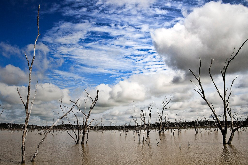
Lake Maraboon
- Boat Ramps
- 2
- Access Points
- 0
- Campsites
- 0
Lake Maraboon is located approximately 20–25 kilometres south-west of Emerald in Queensland's Central Highlands, created by Fairbairn Dam on the Nogoa River. Completed in 1972, the dam forms one of Queensland's largest inland water bodies by surface area. According to one paddling resource, Maraboon is considered the fourth most expansive lake in Queensland, but with two larger lakes being ephemeral and another a known haunt of estuarine crocodiles, it effectively functions as the largest body of reliably paddleable, crocodile-free water in the state — a significant distinction for paddlers planning trips in Queensland.
The lake's name derives from the local Aboriginal language and translates roughly as "where the black ducks fly," which reflects the area's abundant birdlife. Wildlife watching is a noted activity around the lake, and the surrounding landscape supports a variety of species.
Kayaking is explicitly listed among the popular water activities on Lake Maraboon, alongside waterskiing and jet skiing. There are no boating restrictions on the lake beyond standard Queensland rules, though there is a designated no-boating and no-fishing zone around the dam wall. Paddlers should be aware of motorised vessel traffic, as the lake is actively used for water skiing and jet skiing. A designated swimming area exists at a safe distance from the boat ramp.
A boat ramp is available at the lake, along with car parking, picnic areas, toilets, BBQs, treated water, and camping facilities. The BIG4 Lake Maraboon Holiday Village provides accommodation options ranging from cabins to powered and unpowered caravan and camping sites. Sunsets over the lake are noted as a particular visual feature, with the sky reflecting across the water's surface.
Fishing at Lake Maraboon requires a Stocked Impoundment Permit Scheme (SIPS) permit, available from the Emerald Post Office or online. Stocked species include barramundi, golden perch, silver perch, Murray cod, and southern saratoga. Red claw freshwater crayfish are abundant and require no permit to catch, with no size limit in effect — and anglers are specifically asked not to return them to the water.
The lake's address for navigation purposes is Selma Road, Gindie, Queensland 4702, and it sits within the Nogoa Mackenzie water scheme managed by Sunwater.
Water access, boat ramps & amenities
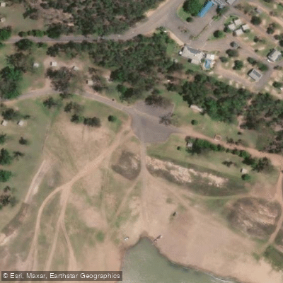
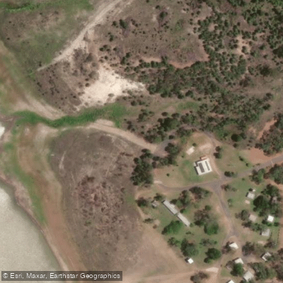
Learn how to get on Lake Maraboon. Uncover great paddling access points, boat ramps, and all the facilities you need for an unforgettable day on the water. Some locations shown may border or include private property. Always check property boundaries and applicable regulations before visiting. PaddleWays's Public & Private Land layer can help you plan your access with confidence.
Paddle smarter with real-time insights
Whether you're en route and conditions shift or you're looking for the best spot based on current flows, we enable you to make informed decisions on the fly.







Queensland licenses and regulations

Find Places to Paddle

Over 400,000 Places to Paddle
Every user gets free access to launch points, boat ramps, and public property parcels.


Water and weather conditions (10 day forecast)
See the best times to paddle Lake Maraboon and check the forecast before you go.
Nogoa River At Fairbairn Dam Headwater
All Flow Stations
Paddling near Lake Maraboon
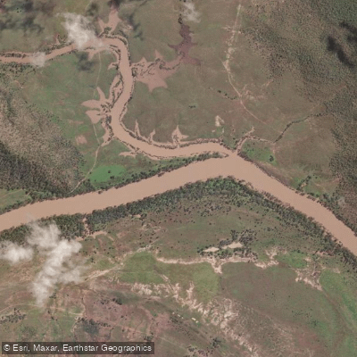
Fitzroy River
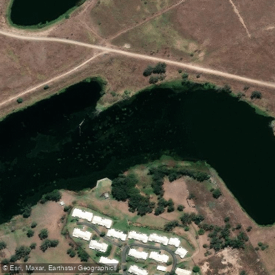
Splitters Creek
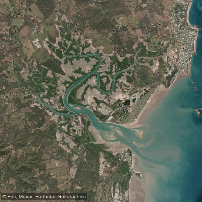
Cawarral Creek
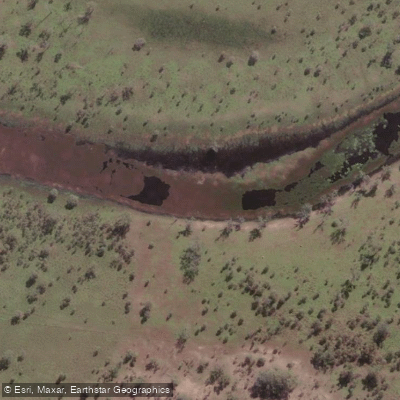
Serpentine Creek
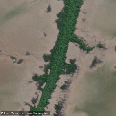
Inkerman Creek
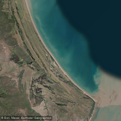
Cattle Point Beach
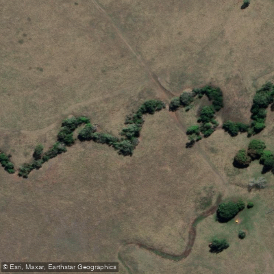
Station Creek
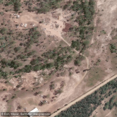
Washpool Creek
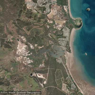
Causeway Lake
Hedlow Creek
Explore Queensland waters
Top paddling waters
No waters available right now.
Popular Cities
Loading popular cities...
Explore near Lake Maraboon

Smarter Paddling Starts in the App.
Paddleways gives you everything you need to plan smarter, paddle better, and own every trip from first launch to takeout.