Rodd's Harbour
- Saltwater
- Estuary
Rodd's Harbour
- Saltwater
- Estuary
- Sq. miles
- 60
- Boat Ramps
- 1
- Access Points
- 1
- Campsites
- 0
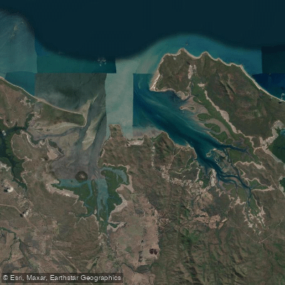
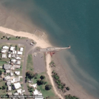
Rodd's Harbour is a coastal estuary on the Rodds Peninsula, west of Pancake Creek. The area is characterized by mangroves dominating the western shoreline, while long beaches grace the eastern side and northern tip of the peninsula. The harbour offers deep-water access and is noted for providing plenty of sheltered anchorage, which suggests generally protected waters for paddlers, though wind exposure can vary. The primary public access point for launching is at Turkey Beach, a small fishing town situated on an isthmus jutting into the harbour. Turkey Beach provides a concrete boat ramp and a pontoon. A small tidal swimming enclosure is located near the dock and boat ramp. The region is part of a network of national parks and conservation areas, including the nearby Eurimbula National Park, visible from the tip of the peninsula, and the Joseph Banks Conservation Park. The area is a designated Fish Habitat Area, and ongoing habitat restoration projects, such as the removal of earthen causeways, indicate active environmental management. Paddlers should be aware of significant tidal influence, as evidenced by the tidal swimming enclosure and the harbour's deep-water access being tide-dependent. The presence of a boat ramp and pontoon at Turkey Beach implies potential for other boat traffic, particularly from recreational fishing vessels. The wider region is renowned for its national parks and is part of a dugong sanctuary, so paddlers may encounter marine life such as dugongs and dolphins. There are no specific paddling restrictions mentioned, but the area's conservation status warrants respectful use.
Water access, boat ramps & amenities
Learn how to get on Rodd's Harbour. Uncover great paddling access points, boat ramps, and all the facilities you need for an unforgettable day on the water. Some locations shown may border or include private property. Always check property boundaries and applicable regulations before visiting. PaddleWays's Public & Private Land layer can help you plan your access with confidence.
Paddle smarter with real-time insights
Whether you're en route and conditions shift or you're looking for the best spot based on current flows, we enable you to make informed decisions on the fly.







Queensland licenses and regulations

Find Places to Paddle

Over 400,000 Places to Paddle
Every user gets free access to launch points, boat ramps, and public property parcels.


Tides, wind & water conditions (10 day forecast)
On open water, wind and tide matter as much as the weather. See the best times to paddle Rodd's Harbour and check the marine forecast before you launch.
Loading tide predictions…
Paddling near Rodd's Harbour
Fitzroy River
Splitters Creek
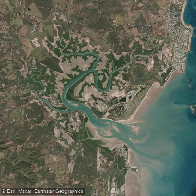
Cawarral Creek
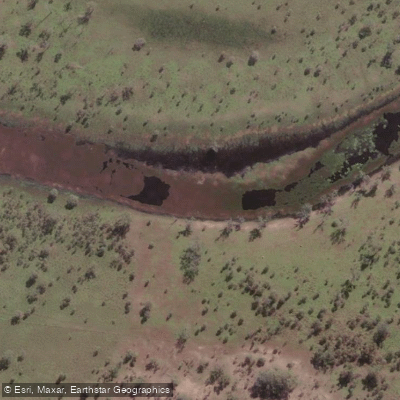
Serpentine Creek
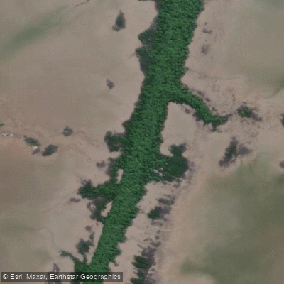
Inkerman Creek
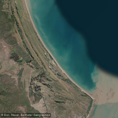
Cattle Point Beach
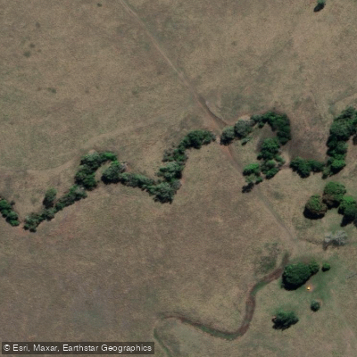
Station Creek
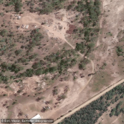
Washpool Creek
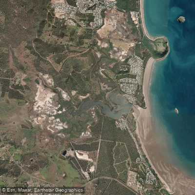
Causeway Lake
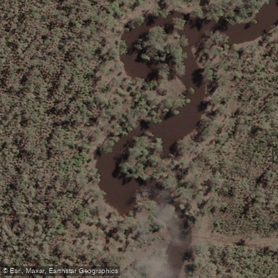
Hedlow Creek
Explore Queensland waters
Top paddling waters
No waters available right now.
Popular Cities
Loading popular cities...
Explore near Rodd's Harbour

Smarter Paddling Starts in the App.
Paddleways gives you everything you need to plan smarter, paddle better, and own every trip from first launch to takeout.