Rio São Francisco
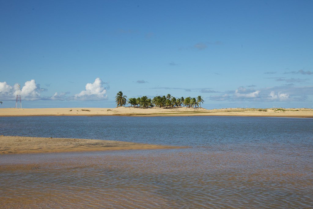
Rio São Francisco
- Boat Ramps
- 0
- Access Points
- 2
- Campsites
- 2
The Rio São Francisco is Brazil's longest river running entirely within national territory, stretching approximately 2,830 kilometers from its headwaters in the Canastra Mountains of Minas Gerais to its mouth on the Atlantic Ocean. Through Bahia, the river passes through dramatically varied terrain, including the large Sobradinho reservoir and sections flanked by notable stone walls and canyons that attract boat-based tours.
The navigable stretch between Pirapora in Minas Gerais and Juazeiro in Bahia represents the most practical corridor for paddlers traveling the middle course of the river. However, conditions change significantly at the Sobradinho dam, where the reservoir's considerable size allows for the formation of short waves of notable height. These wave and current conditions present real challenges for smaller craft, and paddlers should plan accordingly when crossing this section.
Downstream from Petrolina, near the Bahia-Pernambuco border, the river becomes impassable due to an extended stretch of rapids and falls running approximately 300 miles. This section culminates in the Paulo Afonso Falls, where the river drops through three successive falls cut into granite for a total descent of roughly 275 feet. This entire lower section must be treated as a firm no-go for paddlers.
The river flows through the semi-arid interior of northeastern Brazil, a region historically defined by drought and limited water access. Deforestation and agricultural water use in the upper watershed have reduced flow in the middle course over recent decades, which affects navigability conditions. Paddlers planning trips on the Bahia sections should research current water levels carefully, as reduced flow can create additional obstacles in shallower stretches.
Water access, boat ramps & amenities
Learn how to get on Rio São Francisco. Uncover great paddling access points, boat ramps, and all the facilities you need for an unforgettable day on the water. Some locations shown may border or include private property. Always check property boundaries and applicable regulations before visiting. PaddleWays's Public & Private Land layer can help you plan your access with confidence.
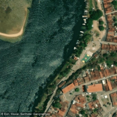
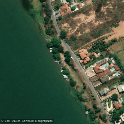
Paddle smarter with real-time insights
Whether you're en route and conditions shift or you're looking for the best spot based on current flows, we enable you to make informed decisions on the fly.







Alagoas licenses and regulations
No licenses or regulations available for Alagoas.
Find Places to Paddle

Over 400,000 Places to Paddle
Every user gets free access to launch points, boat ramps, and public property parcels.


Water and weather conditions (10 day forecast)
See the best times to paddle Rio São Francisco and check the forecast before you go.
São Roque De Minas
All Flow Stations
Explore Alagoas waters
Top paddling waters
No waters available right now.
Popular Cities
Loading popular cities...
Explore near Rio São Francisco
Nearby waters
More in Alagoas

Smarter Paddling Starts in the App.
Paddleways gives you everything you need to plan smarter, paddle better, and own every trip from first launch to takeout.