Rio Tatuamunha
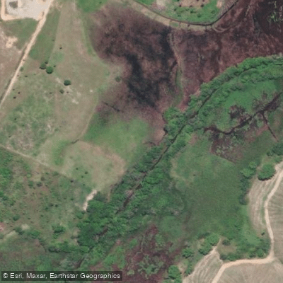
Rio Tatuamunha
- Boat Ramps
- 0
- Access Points
- 0
- Campsites
- 0
The Rio Tatuamunha is a coastal river in the northeastern Brazilian state of Alagoas, flowing entirely within the municipality of Porto de Pedras on the north coast. It drains into the Atlantic Ocean at Tatuamunha Beach, forming an estuarine mouth shaped by the interaction of fluvial, tidal, and oceanic processes. The estuary is characterized by migrating sandbars and tidal plains, and the river supports extensive mangrove ecosystems along its banks. The entire river lies within the federally protected Área de Proteção Ambiental (APA) Costa dos Corais, which carries conservation regulations that paddlers should be aware of before visiting.
The river is perhaps best known as a sanctuary for marine manatees, and paddling here means sharing the water with these animals in their natural habitat. Mangrove channels branching off the main river can be explored by traditional canoe or kayak, and the wetland ecosystem supports a diverse array of bird species, making the area of interest for birdwatchers. Wooden footbridges and interpretive trails wind through the mangroves and connect to Tatuamunha Beach at the river's mouth, where the confluence with the sea offers open views.
Organized ecotourism on the river is managed by the Associação Peixe-Boi, which was founded in 2009 and handles guide accreditation and visitor access. The association runs guided boat tours lasting approximately one hour, limited to ten tours per day, with advance booking required to minimize disturbance to manatee habitat. Paddlers exploring the mangrove channels independently should be mindful of the conservation context and the presence of guided tour groups on the water. The river is approximately 14.1 miles in length, though no dedicated boat ramps or formal paddler access points exist.
The character of the paddling is calm and low-key, suited to flat-water paddling through mangrove-lined channels and the broad estuarine reach near the river's mouth. The village of Porto das Pedras is the primary gateway to the river, and the Associação Peixe-Boi serves as the main point of contact for organized access and local guidance.
Water access, boat ramps & amenities
Learn how to get on Rio Tatuamunha. Uncover great paddling access points, boat ramps, and all the facilities you need for an unforgettable day on the water. Some locations shown may border or include private property. Always check property boundaries and applicable regulations before visiting. PaddleWays's Public & Private Land layer can help you plan your access with confidence.
Paddle smarter with real-time insights
Whether you're en route and conditions shift or you're looking for the best spot based on current flows, we enable you to make informed decisions on the fly.







Alagoas licenses and regulations
No licenses or regulations available for Alagoas.
Find Places to Paddle

Over 400,000 Places to Paddle
Every user gets free access to launch points, boat ramps, and public property parcels.


Water and weather conditions (10 day forecast)
See the best times to paddle Rio Tatuamunha and check the forecast before you go.
No forecast data available.
Paddling near Rio Tatuamunha
Rio Mundaú

Rio Satuba
Enseada de Pajuçara
Lagoa Mundaú
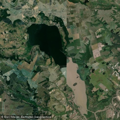
Lagoa Manguaba
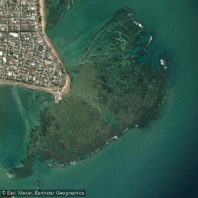
Recife da Ponta Verde
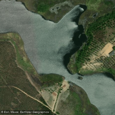
Rio Niquim
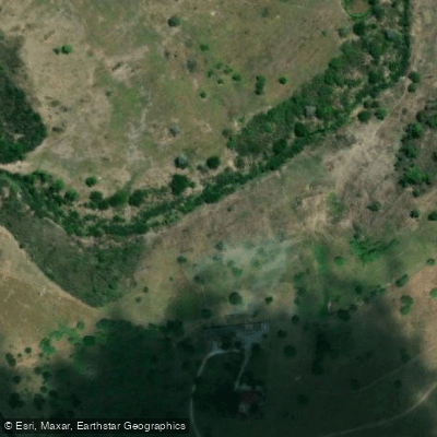
Rio Canhoto
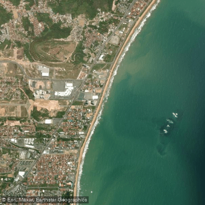
Praia Cruz das Almas
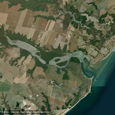
Lagoa Do Roteiro
Explore Alagoas waters
Top paddling waters
No waters available right now.
Popular Cities
Loading popular cities...
Explore near Rio Tatuamunha

Smarter Paddling Starts in the App.
Paddleways gives you everything you need to plan smarter, paddle better, and own every trip from first launch to takeout.