Açude Caxitoré
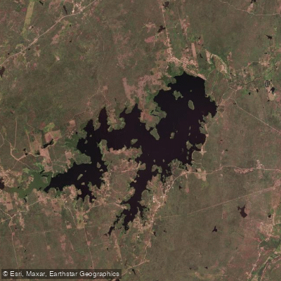
Açude Caxitoré
- Boat Ramps
- 0
- Access Points
- 0
- Campsites
- 0
Açude Caxitoré is a large reservoir located in the municipalities of Umirim and Pentecoste in Ceará, Brazil. Built by the Departamento Nacional de Obras Contra as Secas (DNOCS) between 1958 and 1962, it sits on the bed of the rio Caxitoré, a tributary of the rio Curu. The reservoir has a total storage capacity of 202 million cubic meters, making it one of the more significant water bodies in the region. Its coordinates place it at approximately 3°46'S, 39°22'W.
The reservoir occupies a semiárido landscape characterized by irregular rainfall and high evapotranspiration rates. Water levels can vary considerably depending on rainfall patterns. After a prolonged period of low levels, the reservoir reached full capacity and overflowed in April 2024 — the first such event in 15 years — and again in 2025, the first time it had overflowed in two consecutive years. Paddlers should be aware that water levels may fluctuate significantly between wet and dry seasons, which could affect access and navigable area.
The surrounding area includes approximately 125 families settled on lands adjacent to the reservoir, with rural properties engaged in agricultural and livestock activities. The reservoir supports multiple uses, including water supply for the town of Umirim, fishing, bathing, and weekend leisure activities. The presence of livestock watering and clothes washing at the water's edge is worth noting for paddlers considering water contact.
Fishing is a recognized activity on the reservoir, and it is listed as a fishing destination, though access is noted as private. Paddlers should verify access permissions before launching. The broader area around Umirim has been included in Brazil's official tourism map, suggesting some level of visitor infrastructure in the municipality, though specific paddling facilities at the reservoir are not currently established.
Water access, boat ramps & amenities
Learn how to get on Açude Caxitoré. Uncover great paddling access points, boat ramps, and all the facilities you need for an unforgettable day on the water. Some locations shown may border or include private property. Always check property boundaries and applicable regulations before visiting. PaddleWays's Public & Private Land layer can help you plan your access with confidence.
Paddle smarter with real-time insights
Whether you're en route and conditions shift or you're looking for the best spot based on current flows, we enable you to make informed decisions on the fly.







Ceará licenses and regulations
No licenses or regulations available for Ceará.
Find Places to Paddle

Over 400,000 Places to Paddle
Every user gets free access to launch points, boat ramps, and public property parcels.


Water and weather conditions (10 day forecast)
See the best times to paddle Açude Caxitoré and check the forecast before you go.
Açude Caxitoré
All Flow Stations
Paddling near Açude Caxitoré
Rio Mundaú
Rio Aracatiaçu
Praia de Mundaú
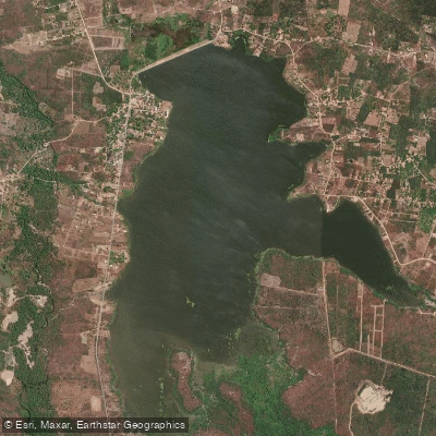
Açude Poço Verde
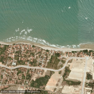
Praia da Baleia
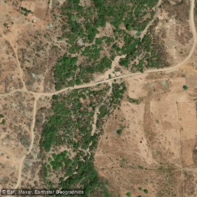
Rio do Pajé
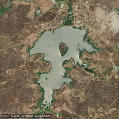
Açude São Pedro Da Timbaúba
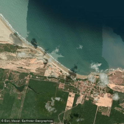
Praia da Lagoinha
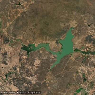
Açude Acaraú-Mirim
Explore Ceará waters
Top paddling waters
No waters available right now.
Popular Cities
Loading popular cities...
Explore near Açude Caxitoré

Smarter Paddling Starts in the App.
Paddleways gives you everything you need to plan smarter, paddle better, and own every trip from first launch to takeout.