Represa De Ilha Solteira
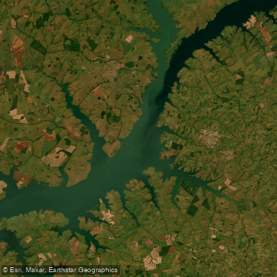
Represa De Ilha Solteira
- Boat Ramps
- 0
- Access Points
- 0
- Campsites
- 2
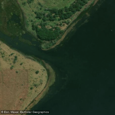
The Represa De Ilha Solteira is a large reservoir formed by the Usina Hidrelétrica de Ilha Solteira on the Rio Paraná, marking the boundary between the states of São Paulo and Mato Grosso do Sul. On the Mato Grosso do Sul side, the reservoir borders the municipality of Selvíria, while the opposite bank lies within Ilha Solteira (SP). The dam itself is crossed by highway MS-444, which connects the two municipalities and serves as a significant regional transport link.
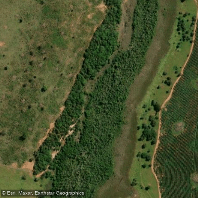
The reservoir is substantial in scale, with an average depth of 8 to 12 meters and a maximum depth of 65 meters. The underwater and shoreline structure is varied, featuring submerged trees (galhadas), sandy beaches, and steep embankments — characteristics that give the water body a diverse physical character and create notable depth changes in certain areas that paddlers should be aware of.
Water temperatures range from 24 to 28°C during the most favorable period for activity on the reservoir, which runs from March through July. This autumn and winter window corresponds to cooler, drier conditions in the region.
On the Mato Grosso do Sul side, there is an Área De Lazer, Camping E Picnic, which provides a point for reaching the water along with camping facilities. The Marina e Praia Catarina, located near the dam area, offers free public access, parking, and quiosques. The presence of the hydroelectric dam and its associated infrastructure means paddlers should remain well clear of the dam structure and be attentive to any operational activity in that zone.
Water access, boat ramps & amenities
Learn how to get on Represa De Ilha Solteira. Uncover great paddling access points, boat ramps, and all the facilities you need for an unforgettable day on the water. Some locations shown may border or include private property. Always check property boundaries and applicable regulations before visiting. PaddleWays's Public & Private Land layer can help you plan your access with confidence.
Paddle smarter with real-time insights
Whether you're en route and conditions shift or you're looking for the best spot based on current flows, we enable you to make informed decisions on the fly.







Mato Grosso Do Sul licenses and regulations
No licenses or regulations available for Mato Grosso Do Sul.
Find Places to Paddle

Over 400,000 Places to Paddle
Every user gets free access to launch points, boat ramps, and public property parcels.


Water and weather conditions (10 day forecast)
See the best times to paddle Represa De Ilha Solteira and check the forecast before you go.
Uhe Água Vermelha Barramento
All Flow Stations
Explore Mato Grosso Do Sul waters
Top paddling waters
No waters available right now.
Popular Cities
Loading popular cities...
Explore near Represa De Ilha Solteira
Access points
Nearby waters
More in Mato Grosso Do Sul

Smarter Paddling Starts in the App.
Paddleways gives you everything you need to plan smarter, paddle better, and own every trip from first launch to takeout.