Rio Iguatemi
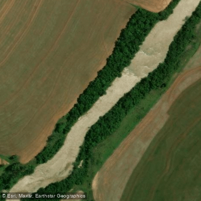
Rio Iguatemi
- Boat Ramps
- 0
- Access Points
- 0
- Campsites
- 0
The Rio Iguatemi is one of the principal rivers of southern Mato Grosso do Sul, flowing through the far south of the state before emptying into the Paraná River. Part of its course forms the border with Paraguay, and paddlers traveling in this region should carry identification documents. The river's mouth near the Paraná is accessible by boat from Mundo Novo. The nearest significant towns along the river are Iguatemi and Naviraí, both reachable from Campo Grande via the BR-163 and MS-141 highways — a drive of roughly 380 to 450 kilometers.
The river has an average depth of 3 to 6 meters, with some sections reaching up to 12 meters. The channel includes stretches of rapids (corredeiras) and deeper pools (poços), giving it a varied character. The region remains relatively unexplored from a tourism standpoint, which has helped maintain healthy fish populations including dourado (Salminus brasiliensis), pintado/surubim (Pseudoplatystoma corruscans), and pacu (Piaractus mesopotamicus).
Water temperatures generally range between 20 and 28°C. The period from March through October offers the most favorable conditions to be on the water, with active fish and more predictable river levels. The river's coordinates place it at approximately 23°55′S, 54°09′W in southwestern Brazil.
Water access, boat ramps & amenities
Learn how to get on Rio Iguatemi. Uncover great paddling access points, boat ramps, and all the facilities you need for an unforgettable day on the water. Some locations shown may border or include private property. Always check property boundaries and applicable regulations before visiting. PaddleWays's Public & Private Land layer can help you plan your access with confidence.
Paddle smarter with real-time insights
Whether you're en route and conditions shift or you're looking for the best spot based on current flows, we enable you to make informed decisions on the fly.







Mato Grosso Do Sul licenses and regulations
No licenses or regulations available for Mato Grosso Do Sul.
Find Places to Paddle

Over 400,000 Places to Paddle
Every user gets free access to launch points, boat ramps, and public property parcels.


Water and weather conditions (10 day forecast)
See the best times to paddle Rio Iguatemi and check the forecast before you go.
Rio Iguatemi
All Flow Stations
Paddling near Rio Iguatemi
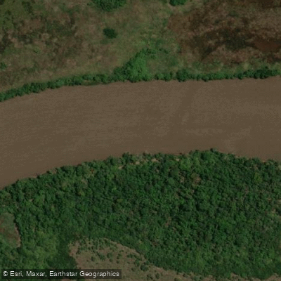
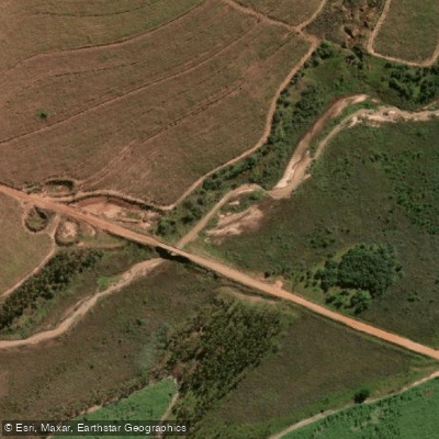
Explore Mato Grosso Do Sul waters
Top paddling waters
No waters available right now.
Popular Cities
Loading popular cities...
Explore near Rio Iguatemi
Nearby waters
More in Mato Grosso Do Sul

Smarter Paddling Starts in the App.
Paddleways gives you everything you need to plan smarter, paddle better, and own every trip from first launch to takeout.