Rio Guaporé
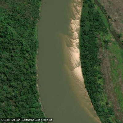
Rio Guaporé
- Boat Ramps
- 0
- Access Points
- 0
- Campsites
- 1
The Rio Guaporé rises on the Parecis plateau in Mato Grosso state, Brazil, at an elevation of approximately 631 meters, and flows roughly 1,260 km before emptying into the Mamoré River at around 131 meters elevation. For most of its lower course — approximately 920 km — it traces the international border between Brazil and Bolivia. It is part of the Madeira River basin and ultimately drains into the Amazon River system.
One of the river's most notable physical characteristics is its unusually clear water, which stands in marked contrast to the brown, silt-laden Mamoré at their confluence. Average discharge near the mouth runs approximately 2,738 m³/s, while measurements at Príncipe da Beira (1985–2013) recorded an average of around 2,430 m³/s, with seasonal extremes ranging from roughly 370 m³/s at low water to 5,200 m³/s at peak flow. This wide discharge range reflects significant seasonal variation that paddlers should factor into trip planning.
The river is considered navigable along its entire length throughout the year. It flows through tropical rainforest, with scattered settlements of Indigenous peoples and mestizos along the banks. The Guaporé forms the boundary of the Guaporé Biological Reserve, a protected area of over 615,000 hectares, and receives tributaries originating within the reserve, including the São Miguel, Branco, São Simão, Massaco, and Colorado rivers.
Near the confluence with the Mamoré, close to the town of Guajará-Mirim, stands Forte Príncipe da Beira, a late 18th-century Portuguese fortification that marks the historical frontier between Spanish and Portuguese colonial territories. The town of Guajará-Mirim itself serves as a crossing point between Brazil and Bolivia and represents one of the more accessible points along the lower river.
Water access, boat ramps & amenities
Learn how to get on Rio Guaporé. Uncover great paddling access points, boat ramps, and all the facilities you need for an unforgettable day on the water. Some locations shown may border or include private property. Always check property boundaries and applicable regulations before visiting. PaddleWays's Public & Private Land layer can help you plan your access with confidence.
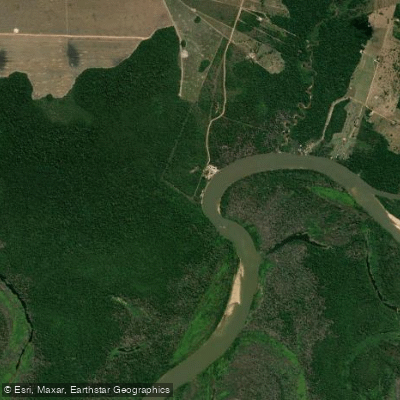
Paddle smarter with real-time insights
Whether you're en route and conditions shift or you're looking for the best spot based on current flows, we enable you to make informed decisions on the fly.







Mato Grosso licenses and regulations
No licenses or regulations available for Mato Grosso.
Find Places to Paddle

Over 400,000 Places to Paddle
Every user gets free access to launch points, boat ramps, and public property parcels.


Water and weather conditions (10 day forecast)
See the best times to paddle Rio Guaporé and check the forecast before you go.
Uhe Guaporé Montante 2
All Flow Stations
Explore Mato Grosso waters
Top paddling waters
No waters available right now.
Popular Cities
Loading popular cities...
Explore near Rio Guaporé
Access points
More in Mato Grosso

Smarter Paddling Starts in the App.
Paddleways gives you everything you need to plan smarter, paddle better, and own every trip from first launch to takeout.