Rio São Venceslau ou Arthur ou Tapaiúna
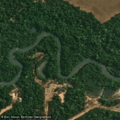
Rio São Venceslau ou Arthur ou Tapaiúna
- Boat Ramps
- 0
- Access Points
- 0
- Campsites
- 0
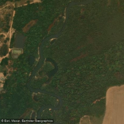
The Rio São Venceslau, also known as the Rio Arthur or Rio Tapaiúna, is a river located in the state of Mato Grosso in western Brazil. It flows through the subregions of Mato Grosso and has a total length of 101 kilometers. The river system is complex, featuring 11 tributaries and 2 distributaries. The river's geographical coordinates place it at approximately 12 degrees 18 minutes south latitude. As a watercourse in the vast interior of Brazil, it presents a remote and natural paddling environment typical of the Mato Grosso region. Specific access points for putting in or taking out, detailed route recommendations, and information on facilities or regulations for paddlers are not available. Similarly, data on seasonal water temperatures, water quality, notable hazards, or the best times for paddling is not specified. The river's character is defined by its significant network of tributaries and its considerable length, suggesting a journey through a largely undeveloped landscape. Paddlers should anticipate a self-sufficient expedition requiring thorough planning for navigation, safety, and logistics due to the lack of documented amenities and the remote nature of the area.
Water access, boat ramps & amenities
Learn how to get on Rio São Venceslau ou Arthur ou Tapaiúna. Uncover great paddling access points, boat ramps, and all the facilities you need for an unforgettable day on the water. Some locations shown may border or include private property. Always check property boundaries and applicable regulations before visiting. PaddleWays's Public & Private Land layer can help you plan your access with confidence.
Paddle smarter with real-time insights
Whether you're en route and conditions shift or you're looking for the best spot based on current flows, we enable you to make informed decisions on the fly.







Mato Grosso licenses and regulations
No licenses or regulations available for Mato Grosso.
Find Places to Paddle

Over 400,000 Places to Paddle
Every user gets free access to launch points, boat ramps, and public property parcels.


Water and weather conditions (10 day forecast)
See the best times to paddle Rio São Venceslau ou Arthur ou Tapaiúna and check the forecast before you go.
No forecast data available.
Paddling near Rio São Venceslau ou Arthur ou Tapaiúna
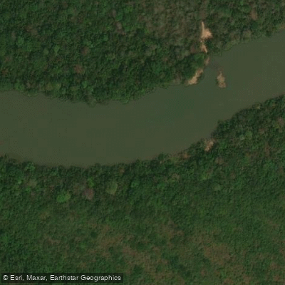
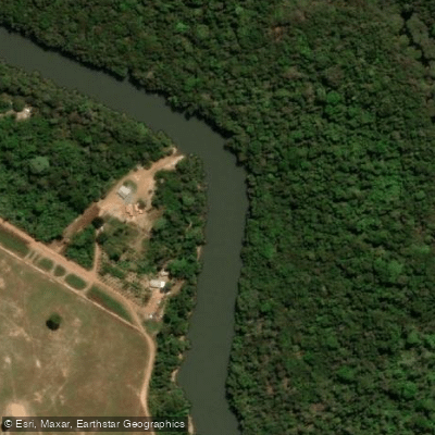
Explore Mato Grosso waters
Top paddling waters
No waters available right now.
Popular Cities
Loading popular cities...
Explore near Rio São Venceslau ou Arthur ou Tapaiúna
More in Mato Grosso

Smarter Paddling Starts in the App.
Paddleways gives you everything you need to plan smarter, paddle better, and own every trip from first launch to takeout.