Rio Sepotuba
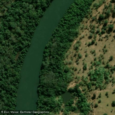
Rio Sepotuba
- Boat Ramps
- 0
- Access Points
- 0
- Campsites
- 0
The Rio Sepotuba is a river in the state of Mato Grosso in western Brazil, draining a basin of over 984,000 hectares (9,840 km²), which represents approximately 1% of the total area of Mato Grosso. It flows through the Serra do Tapirapuã, a basaltic plateau with an average altitude of around 450 meters, before descending to lower elevations where it joins the Paraguay River as a tributary.
The upper and middle sections of the river, where it cuts through the Serra do Tapirapuã, are characterized by significant vertical relief, producing numerous waterfalls, cachoeiras, and rapids. The most prominent of these is the Salto das Nuvens, a waterfall 19 meters high and 100 meters wide located in the municipality of Tangará da Serra. The Salto Maciel is another notable feature, forming a sequence of rapids rather than a single drop. Paddlers should be aware that this stretch of river presents serious hydraulic hazards and requires careful scouting and route planning.
The river's main tributaries are the Formoso and Juba rivers, with smaller tributaries including the Rio Sepotubinha, Rio das Tocas, Rio Queima-Pé, Rio Sapo, and Rio Jubinha. Flow monitoring stations are located at several points along the river, including Tapirapuã, Distrito Nova Fernandópolis, São José do Sepotuba, and Fazenda Santa Rita do Sepotuba, which may be useful reference points for trip planning.
The river supports a diverse fish community including Golden dorado (Salminus brasiliensis), Vampire fish (Rhaphiodon vulpinus), Barred sorubim, Trahira, Piraputanga, and several Leporinus species, reflecting the river's connection to the broader Paraguay River basin ichthyofauna.
Recreational vessels operating in Brazilian waters require registration with the Brazilian Navy's DPC service and a valid Vessel Inscription Title (TIE/TIEM), which must be obtained before launching and is valid for five years. Access to the river is governed by Brazilian federal water-domain law rather than a specific stream-access statute. No dedicated boat ramps or formal paddling access points are established for the river.
Water access, boat ramps & amenities
Learn how to get on Rio Sepotuba. Uncover great paddling access points, boat ramps, and all the facilities you need for an unforgettable day on the water. Some locations shown may border or include private property. Always check property boundaries and applicable regulations before visiting. PaddleWays's Public & Private Land layer can help you plan your access with confidence.
Paddle smarter with real-time insights
Whether you're en route and conditions shift or you're looking for the best spot based on current flows, we enable you to make informed decisions on the fly.







Mato Grosso licenses and regulations
No licenses or regulations available for Mato Grosso.
Find Places to Paddle

Over 400,000 Places to Paddle
Every user gets free access to launch points, boat ramps, and public property parcels.


Water and weather conditions (10 day forecast)
See the best times to paddle Rio Sepotuba and check the forecast before you go.
Tapirapuã
All Flow Stations
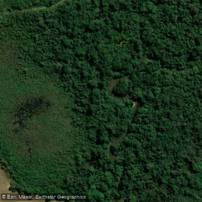
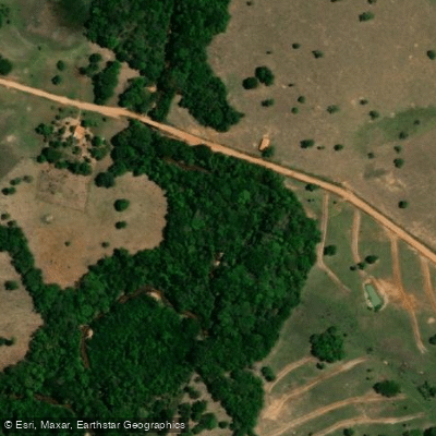
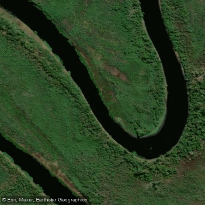
Explore Mato Grosso waters
Top paddling waters
No waters available right now.
Popular Cities
Loading popular cities...
Explore near Rio Sepotuba
Nearby waters
More in Mato Grosso

Smarter Paddling Starts in the App.
Paddleways gives you everything you need to plan smarter, paddle better, and own every trip from first launch to takeout.