Rio Xingu
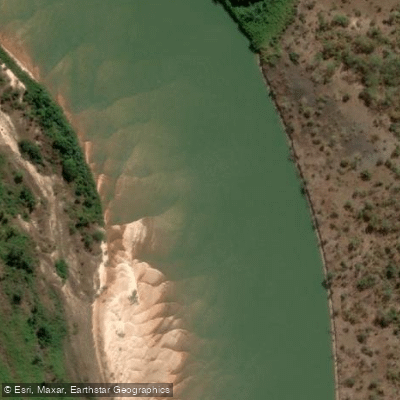
Rio Xingu
- Boat Ramps
- 0
- Access Points
- 0
- Campsites
- 0
The Rio Xingu is a major tributary of the Amazon Basin, flowing northward through the dense rainforest of Pará state for approximately 2,700 km before emptying into the Amazon River just south of the Ilha Grande de Gurupá. The river drains ancient Brazilian shield granite, which gives its waters a notably clear, low-sediment character with high transparency and low mineral content — a striking contrast to the turbid, sediment-laden waters typical of most large Amazonian rivers. Near Altamira, the river is broad and surprisingly shallow, with much of the channel ranging between roughly 1 and 3 meters deep even far from shore, though the current is powerful and fast, flowing over a rocky substrate with considerable force. Paddlers should be aware that standing in the current requires significant effort.
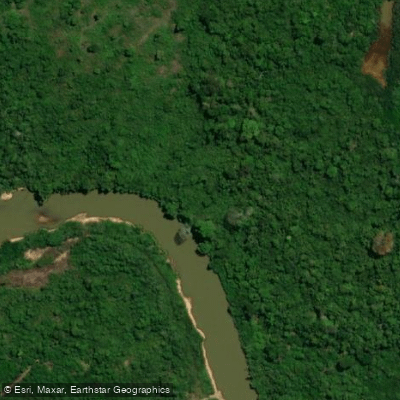
The middle section of the river in Pará is characterized by meandering channels, narrow marginal floodplains, sediment bar islands, and seasonally flooded forest islands. The climate is tropical, with annual temperatures averaging 25–26°C and minor seasonal variation in surface temperatures. Rainfall follows the South American Monsoon System, creating a distinct wet and dry seasonal cycle that affects water levels and river character.
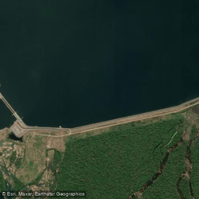
The lower course of the Xingu is wide — approximately 4 km at the mouth — and deep, but navigability is limited. The river is navigable from its mouth only as far south as Sousel and Vitória, roughly 200 km upstream. The upper course is marked by innumerable rapids. The Belo Monte hydroelectric dam, located near Altamira, has made a section of the river unnavigable by boat, requiring portage around the dam site using heavy machinery — a significant logistical consideration for any through-paddling attempt.
The town of Altamira serves as a practical base for paddling activity on the river, with at least one local operator, Xingu Caiaques, offering kayak tours on the Xingu. Access to more remote stretches of the river is possible via São Félix do Xingu by road, or by charter flight. Much of the river corridor passes through Kayapo indigenous territory, and paddlers should be aware of the cultural and legal significance of this land. The river supports exceptional biodiversity, including endemic species such as the Xingu freshwater stingray (Potamotrygon leopoldi), and the surrounding rainforest provides rich wildlife viewing opportunities.
Water access, boat ramps & amenities
Learn how to get on Rio Xingu. Uncover great paddling access points, boat ramps, and all the facilities you need for an unforgettable day on the water. Some locations shown may border or include private property. Always check property boundaries and applicable regulations before visiting. PaddleWays's Public & Private Land layer can help you plan your access with confidence.
Paddle smarter with real-time insights
Whether you're en route and conditions shift or you're looking for the best spot based on current flows, we enable you to make informed decisions on the fly.







Mato Grosso licenses and regulations
No licenses or regulations available for Mato Grosso.
Find Places to Paddle

Over 400,000 Places to Paddle
Every user gets free access to launch points, boat ramps, and public property parcels.


Water and weather conditions (10 day forecast)
See the best times to paddle Rio Xingu and check the forecast before you go.
Passagem Br-080
All Flow Stations
Explore Mato Grosso waters
Top paddling waters
No waters available right now.
Popular Cities
Loading popular cities...
Explore near Rio Xingu
Access points
Nearby waters
More in Mato Grosso

Smarter Paddling Starts in the App.
Paddleways gives you everything you need to plan smarter, paddle better, and own every trip from first launch to takeout.