Represa De Peixoto
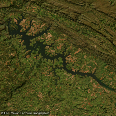
Represa De Peixoto
- Boat Ramps
- 0
- Access Points
- 0
- Campsites
- 1
Represa de Peixoto, also known as the Mascarenhas de Moraes reservoir, sits on the Rio Grande in the southwestern region of Minas Gerais, approximately 20 kilometers west of Delfinópolis and about 210 kilometers from Belo Horizonte, near the town of Ibiraci. The reservoir was formed by the Peixoto Dam, a hydroelectric structure completed in 1956 and operated by Eletrobras Furnas. With a surface area of 250 square kilometers and a total storage capacity of 4.04 cubic kilometers, it is a substantial body of water. The reservoir reaches a maximum depth of approximately 35 meters, with average depths ranging between 8 and 20 meters.
The water varies from clear to slightly turbid, and the bottom structure is diverse, featuring submerged branches and deadfall, submerged rock slabs, and sandbars. These features create varied underwater terrain that paddlers should be aware of, particularly in shallower areas near the margins.
The dry season, running roughly from May through September, is considered the most favorable period for activity on the water, with ideal temperatures in the range of 20 to 26 degrees Celsius. The reservoir supports healthy populations of tucunaré (peacock bass, including Cichla ocellaris and Cichla piqiti), tilápia, traíra, and piau, making it a notable fishing destination in the region. Fishing activity on the reservoir is active, particularly during morning hours from 06:00 to 10:00 and late afternoon from 16:00 to 18:30, which paddlers should factor into their planning to avoid conflicts with fishing boats.
The surrounding area includes the Serra de Peixoto and nearby points such as Domiciano Lemos and Pôrto Joana. The region is part of the broader Sudoeste Mineiro, and basic infrastructure associated with fishing tourism exists in the area. Both boat-based and bank-based access to the water is practiced, suggesting that launch points along the margins are accessible, though paddlers should verify specific put-in locations locally before visiting.
Water access, boat ramps & amenities
Learn how to get on Represa De Peixoto. Uncover great paddling access points, boat ramps, and all the facilities you need for an unforgettable day on the water. Some locations shown may border or include private property. Always check property boundaries and applicable regulations before visiting. PaddleWays's Public & Private Land layer can help you plan your access with confidence.
Paddle smarter with real-time insights
Whether you're en route and conditions shift or you're looking for the best spot based on current flows, we enable you to make informed decisions on the fly.







Minas Gerais licenses and regulations
No licenses or regulations available for Minas Gerais.
Find Places to Paddle

Over 400,000 Places to Paddle
Every user gets free access to launch points, boat ramps, and public property parcels.


Water and weather conditions (10 day forecast)
See the best times to paddle Represa De Peixoto and check the forecast before you go.
Uhe Furnas Barramento
All Flow Stations
Paddling near Represa De Peixoto
Ribeirão do Sertãozinho
Ribeirão das Anhumas
Rio Cubatão
Ribeirão das Almas
Ribeirão do Palmital
Rio Mogi Guaçu
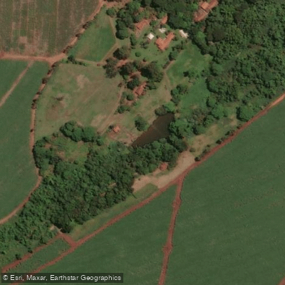
Ribeirão do Cruzeiro
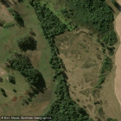
Ribeirão dos Negros
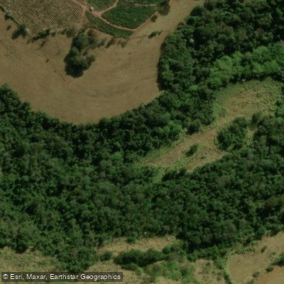
Ribeirão Tomba-Perna

Ribeirão das Pedras
Explore Minas Gerais waters
Top paddling waters
No waters available right now.
Popular Cities
Loading popular cities...
Explore near Represa De Peixoto

Smarter Paddling Starts in the App.
Paddleways gives you everything you need to plan smarter, paddle better, and own every trip from first launch to takeout.