Rio Santo Antônio
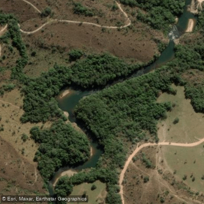
Rio Santo Antônio
- Boat Ramps
- 0
- Access Points
- 0
- Campsites
- 0
The Rio Santo Antônio in Minas Gerais is a tributary of the Rio Doce, rising in the Espinhaço Mountains near the district of Santo Antônio do Cruzeiro in the municipality of Conceição do Mato Dentro. From its headwaters it runs generally eastward for approximately 287 kilometers before emptying into the Rio Doce.
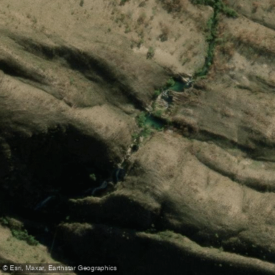
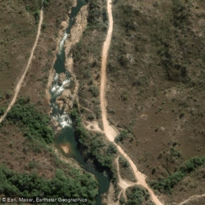
The river is characterized by a rocky course punctuated by a number of waterfalls, which define much of its paddling character. Among the most notable is Tabuleiro Falls, recognized in the 2005 edition of the Guia 4 Rodas as the most beautiful waterfall in Brazil. The presence of multiple falls along the course means paddlers should expect significant portages and should scout carefully before committing to any rapid or drop. The rocky, technical nature of the river makes it a more demanding waterway rather than a casual flatwater paddle.
Historically, the river served as a transportation corridor for bandeirantes during Brazil's Gold Rush era. Today it sees use for fishing, gold panning, and leisure and tourism activities.
Given the river's length and the presence of waterfalls, any multi-day trip would require thorough advance planning, including portage logistics around the falls. Paddlers considering this river should seek current local knowledge regarding access points, water levels, and the precise locations and severity of the waterfalls along the route.
Water access, boat ramps & amenities
Learn how to get on Rio Santo Antônio. Uncover great paddling access points, boat ramps, and all the facilities you need for an unforgettable day on the water. Some locations shown may border or include private property. Always check property boundaries and applicable regulations before visiting. PaddleWays's Public & Private Land layer can help you plan your access with confidence.
Paddle smarter with real-time insights
Whether you're en route and conditions shift or you're looking for the best spot based on current flows, we enable you to make informed decisions on the fly.







Minas Gerais licenses and regulations
No licenses or regulations available for Minas Gerais.
Find Places to Paddle

Over 400,000 Places to Paddle
Every user gets free access to launch points, boat ramps, and public property parcels.


Water and weather conditions (10 day forecast)
See the best times to paddle Rio Santo Antônio and check the forecast before you go.
No forecast data available.
Paddling near Rio Santo Antônio
Rio Uberaba
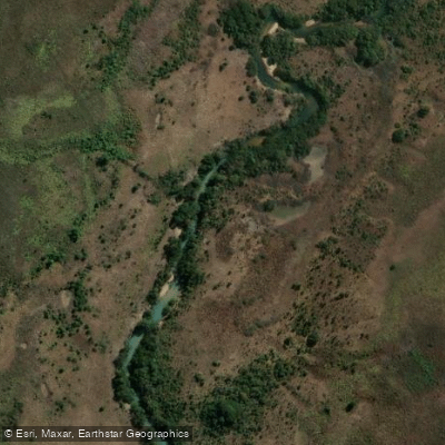
Rio Claro
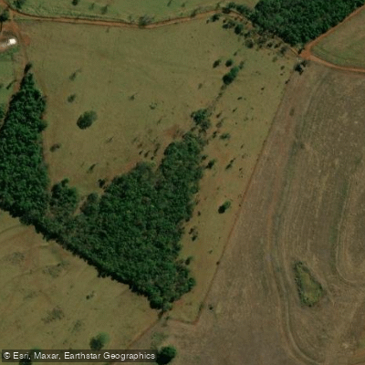
Ribeirão Santo Antônio
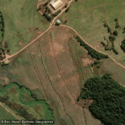
Rio Pirapetinga
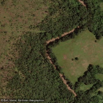
Rio São Francisco
Rio Ponte Nova
Ribeirão Bom Jardim
Ribeirão do Fundão
Explore Minas Gerais waters
Top paddling waters
No waters available right now.
Popular Cities
Loading popular cities...
Explore near Rio Santo Antônio

Smarter Paddling Starts in the App.
Paddleways gives you everything you need to plan smarter, paddle better, and own every trip from first launch to takeout.