Rio das Cinzas
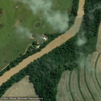
Rio das Cinzas
- Boat Ramps
- 0
- Access Points
- 0
- Campsites
- 0
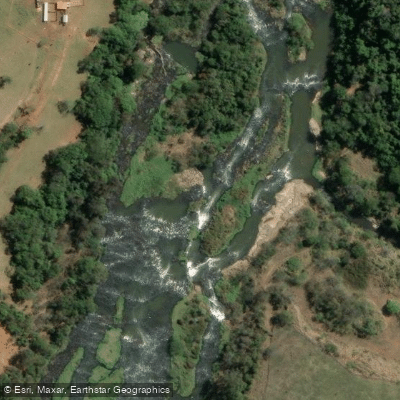
The Rio das Cinzas is a medium-sized river in the northern region of Paraná state, Brazil. It originates near Piraí do Sul and flows approximately 180 kilometers before emptying into the Rio Paranapanema, with its mouth located at approximately 22°56′S, 50°32′W. The river passes through a region of intensive agriculture, though it retains stretches with notable ecological character, including pools (poços) and riffles (corredeiras) that vary the pace and texture of the water.
The towns of Tomazina, Ribeirão Claro, and Carlópolis are the primary reference points along the river, with Tomazina considered a traditional hub for river access. The area lies roughly 350 kilometers from Curitiba, accessible via the BR-376 to Ponta Grossa and then the BR-153, a journey of approximately four to five hours by road. From Londrina, the river can be reached in around 150 kilometers via the BR-369 and regional roads. Access to the water is available at multiple points via bridges and rural roads, though rural tracks may become difficult during the rainy season and local knowledge is advisable for identifying the best launch points.
The river is characterized as a calm, medium-volume waterway suited to flatwater paddling from the bank or by small boat. The alternating pools and riffles provide some variety along the course. The surrounding landscape reflects the agricultural character of northern Paraná, with the river corridor passing through farmland. Fish species present in the river include piava (piau), curimbatá, lambari, and traíra, indicating a functioning aquatic ecosystem despite the agricultural pressures on the watershed.
Given its location in a river basin subject to Brazilian federal and state fisheries regulations, paddlers should be aware that seasonal fishing closures (defeso/piracema) are enforced in the region, which may affect access or activity on the water during certain periods. The river is best approached with prior contact with local residents or fishing guides familiar with current access conditions, particularly given that rural road quality can vary with rainfall.
Water access, boat ramps & amenities
Learn how to get on Rio das Cinzas. Uncover great paddling access points, boat ramps, and all the facilities you need for an unforgettable day on the water. Some locations shown may border or include private property. Always check property boundaries and applicable regulations before visiting. PaddleWays's Public & Private Land layer can help you plan your access with confidence.
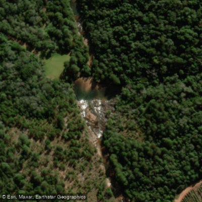
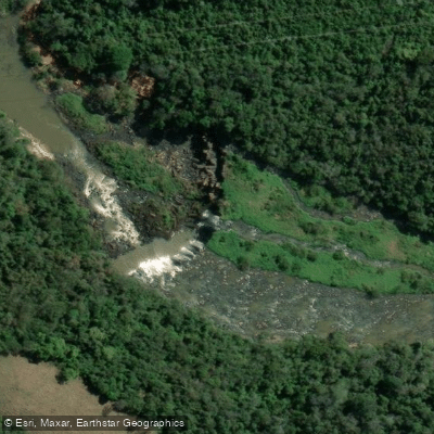
Paddle smarter with real-time insights
Whether you're en route and conditions shift or you're looking for the best spot based on current flows, we enable you to make informed decisions on the fly.







Paraná licenses and regulations
No licenses or regulations available for Paraná.
Find Places to Paddle

Over 400,000 Places to Paddle
Every user gets free access to launch points, boat ramps, and public property parcels.


Water and weather conditions (10 day forecast)
See the best times to paddle Rio das Cinzas and check the forecast before you go.
Granja Garota
All Flow Stations
Paddling near Rio das Cinzas
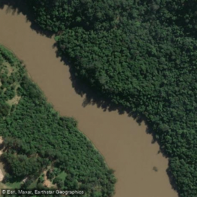
Rio Tibagi
Ribeirão São Domingos
Ribeirão Couro de Boi
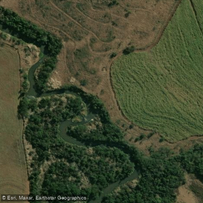
Rio Bandeirantes do Norte
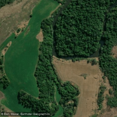
Rio Congonhas
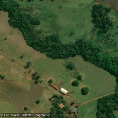
Ribeirão do Tigre
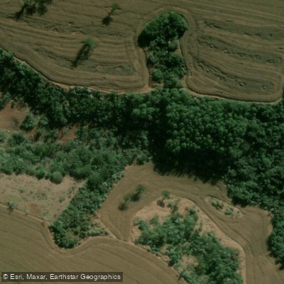
Ribeirão do Saci
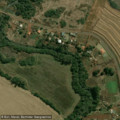
Rio Apucaraninha
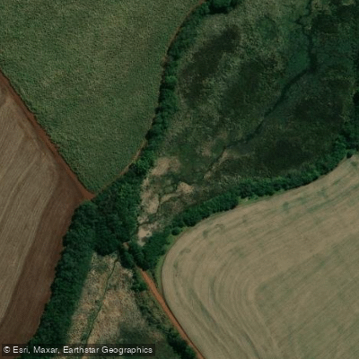
Ribeirão das Anhumas
Explore Paraná waters
Top paddling waters
No waters available right now.
Popular Cities
Loading popular cities...
Explore near Rio das Cinzas

Smarter Paddling Starts in the App.
Paddleways gives you everything you need to plan smarter, paddle better, and own every trip from first launch to takeout.