Rio Iguaçu
Rio Iguaçu
- Boat Ramps
- 0
- Access Points
- 3
- Campsites
- 4
The Rio Iguaçu originates near Curitiba in the Serra do Mar at approximately 1,200 meters elevation and flows roughly 1,320 kilometers westward through Paraná before joining the Paraná River at Foz do Iguaçu. Its drainage basin covers around 62,000 km². Average discharge near the mouth runs approximately 1,836 m³/s, though flows at the Iguazu Falls gauge range from a recorded minimum of 200 m³/s to a maximum of 12,799 m³/s, reflecting the river's significant variability.
Organized paddling activity on the Rio Iguaçu is concentrated near Foz do Iguaçu, within the Iguaçu National Park. Access to the water is typically reached via the Trilha do Índio, a roughly 1.4-kilometer hiking trail through Atlantic rainforest that leads to the riverbank. From there, guided kayak and paddleboard tours operate within an area of approximately 2 kilometers along the river. The surrounding vegetation is dense rainforest, and wildlife commonly observed along this stretch includes parrots, harpy eagles, and armadillos. Waterfalls visible from the water include Cachoeira da Toca and the Juruvá waterfall. Guided tours in this area typically run three to five hours and combine paddling with hiking.
Separately, the Macuco Safari operates motorized boat tours on the Rio Iguaçu within the park, launching from a platform on the right bank approximately 4,000 meters downstream of the Falls and traveling toward the falls themselves.
Independent paddlers should be aware that access to the river in the national park area is managed through organized tour operators, and guides speaking English, Spanish, and Portuguese are available. Given the extreme flow variability documented at the Falls gauge, paddlers planning trips should account for seasonal water level changes when selecting routes or timing visits.
Water access, boat ramps & amenities
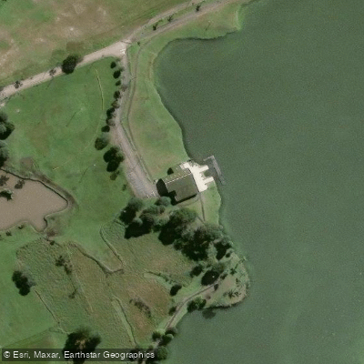
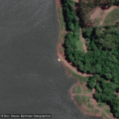
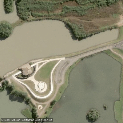
Learn how to get on Rio Iguaçu. Uncover great paddling access points, boat ramps, and all the facilities you need for an unforgettable day on the water. Some locations shown may border or include private property. Always check property boundaries and applicable regulations before visiting. PaddleWays's Public & Private Land layer can help you plan your access with confidence.
Paddle smarter with real-time insights
Whether you're en route and conditions shift or you're looking for the best spot based on current flows, we enable you to make informed decisions on the fly.







Paraná licenses and regulations
No licenses or regulations available for Paraná.
Find Places to Paddle

Over 400,000 Places to Paddle
Every user gets free access to launch points, boat ramps, and public property parcels.


Water and weather conditions (10 day forecast)
See the best times to paddle Rio Iguaçu and check the forecast before you go.
Andresito
All Flow Stations
Paddling near Rio Iguaçu
Rio Socorro
Rio Turvo
Rio Cavernoso
Rio Turvo
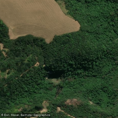
Rio São Sebastião
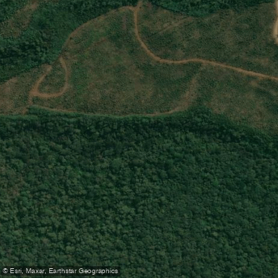
Rio Cachoeira
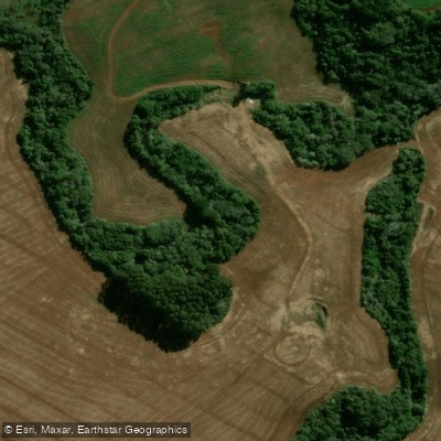
Rio do Corvo
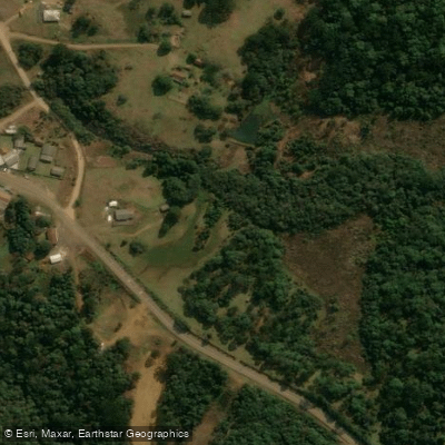
Rio dos Papagaios
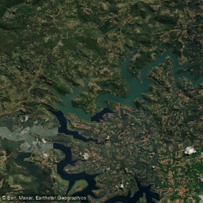
Represa Foz Do Areia
Explore Paraná waters
Top paddling waters
No waters available right now.
Popular Cities
Loading popular cities...
Explore near Rio Iguaçu
Access points
Nearby waters
More in Paraná

Smarter Paddling Starts in the App.
Paddleways gives you everything you need to plan smarter, paddle better, and own every trip from first launch to takeout.