Rio do Peixe
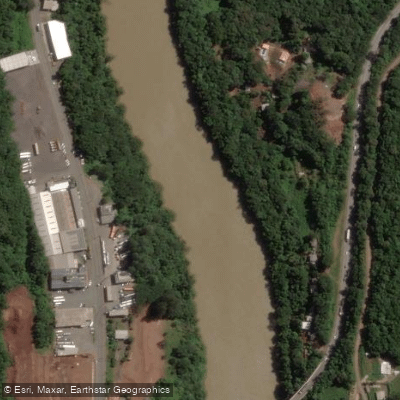
Rio do Peixe
- Boat Ramps
- 0
- Access Points
- 0
- Campsites
- 1
Rio do Peixe is a river in the state of Santa Catarina, in southern Brazil, flowing approximately 249 to 299 kilometers from its headwaters at Serra da Taquara Verde, at an elevation of around 1,250 meters, down to its confluence with the rio Uruguai at roughly 387 meters elevation, near the town of Marcelino Ramos in Rio Grande do Sul. The river drains a basin of approximately 5,238 to 5,277 square kilometers and is part of the broader Plata basin system.
The river passes through a number of municipalities in the interior of Santa Catarina, including Calmon, Caçador, Videira, Joaçaba, Herval d'Oeste, and Capinzal, among others. A railway line connecting São Paulo and Porto Alegre runs along the left bank of the river. The main tributaries are the rio Limeira and the rio Estreito.
The river's name historically referred to the abundance of fish once found in its waters. However, the river is currently significantly polluted and ecologically degraded. This is a critical consideration for anyone planning to paddle here, as water contact carries potential health risks. Remediation programs are underway, but the overall water quality remains a serious concern. Paddlers should research current conditions carefully before any trip and take appropriate precautions regarding water contact.
The river's considerable elevation drop over its length — from 1,250 meters at the source to 387 meters at the mouth — suggests varied gradient and potentially moving water in its upper reaches, though the specific nature of rapids, portages, or technical difficulty remains unclear without direct reconnaissance.
Water access, boat ramps & amenities
Learn how to get on Rio do Peixe. Uncover great paddling access points, boat ramps, and all the facilities you need for an unforgettable day on the water. Some locations shown may border or include private property. Always check property boundaries and applicable regulations before visiting. PaddleWays's Public & Private Land layer can help you plan your access with confidence.
Paddle smarter with real-time insights
Whether you're en route and conditions shift or you're looking for the best spot based on current flows, we enable you to make informed decisions on the fly.







Rio Grande Do Sul licenses and regulations
No licenses or regulations available for Rio Grande Do Sul.
Find Places to Paddle

Over 400,000 Places to Paddle
Every user gets free access to launch points, boat ramps, and public property parcels.


Water and weather conditions (10 day forecast)
See the best times to paddle Rio do Peixe and check the forecast before you go.
Cgh Bom Jesus Jusante
All Flow Stations
Paddling near Rio do Peixe
Rio do Amola-Faca
Rio das Vacas Gordas
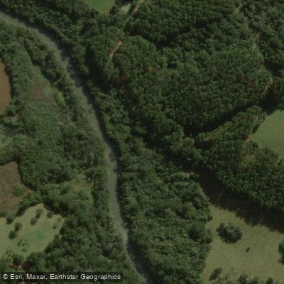
Rio das Marombas
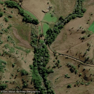
Rio Caixão
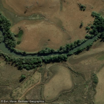
Rio dos Touros
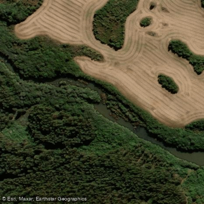
Rio Santana
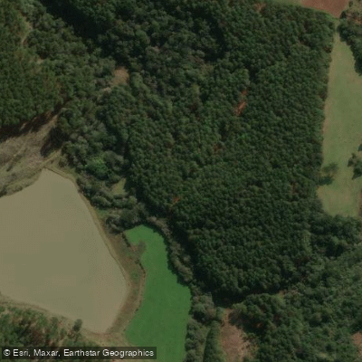
Rio Raso ou dos Pocinhos
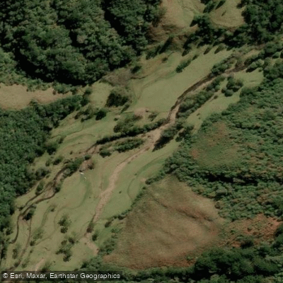
Rio dos Bugres
Explore Rio Grande Do Sul waters
Top paddling waters
No waters available right now.
Popular Cities
Loading popular cities...
Explore near Rio do Peixe
Access points
Nearby waters
More in Rio Grande Do Sul

Smarter Paddling Starts in the App.
Paddleways gives you everything you need to plan smarter, paddle better, and own every trip from first launch to takeout.