Rio Jacuí
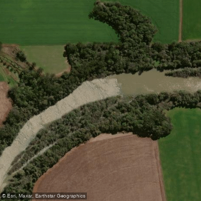
Rio Jacuí
- Boat Ramps
- 0
- Access Points
- 6
- Campsites
- 4
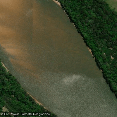
The Rio Jacuí is a major river in Rio Grande do Sul, southern Brazil, stretching approximately 723 kilometers from its headwaters in the highlands east of Passo Fundo to its mouth near Porto Alegre. The river flows generally southward and then eastward before merging with the Taquari, Caí, Sinos, and Gravataí rivers near its terminus, where it transitions into the Guaíba, a shallow estuarine body that drains into the Lagoa dos Patos and ultimately the Atlantic Ocean. The river drains a basin of roughly 71,800 square kilometers, and average discharge near Porto Alegre measured approximately 2,086 cubic meters per second over the period 1970–2000.
The river is navigable by rivercraft as far upstream as Cachoeira do Sul, which serves as a notable point of reference for paddlers planning routes along the lower and middle sections. The river is one of the most heavily used barge corridors in Brazil, carrying coal from the São Jerônimo basin and transporting rice and other agricultural products, which means paddlers should expect significant commercial vessel traffic, particularly on the lower stretches. This industrial and agricultural use is an important safety consideration, as large barges share the waterway.
Flooding is a serious and recurring hazard on the Rio Jacuí. The river has a documented history of significant flood events; during a June 2025 flood, water levels at Cachoeira do Sul exceeded 26 meters against an average of approximately 18 meters, forcing mass evacuations across more than 150 municipalities. Paddlers should be aware that the river can rise dramatically during periods of heavy rainfall, and trip planning should account for seasonal flood risk.
The river passes through a rich agricultural lowland region, and the surrounding landscape reflects the productive floodplain character of interior Rio Grande do Sul. Fishing is a popular activity on the river, with species including trahira, pale catfish, and barred sorubim found throughout. The Itaúba hydroelectric plant, constructed in the late 1970s, is located on the river and represents a significant infrastructure feature that paddlers on affected stretches would need to account for in route planning.
Water access, boat ramps & amenities
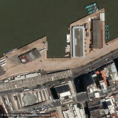
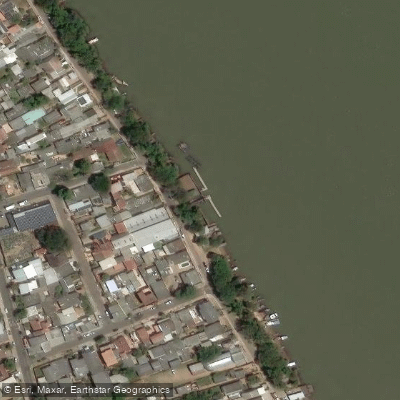
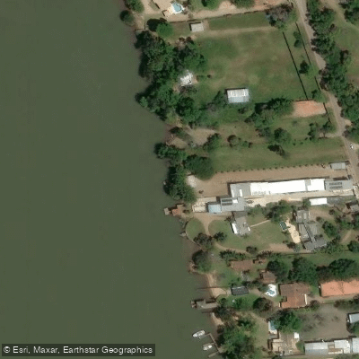
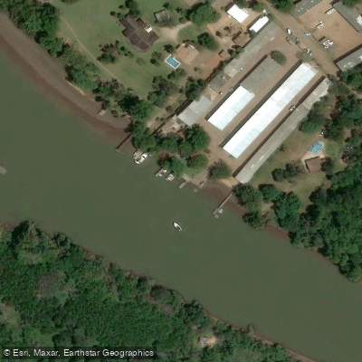
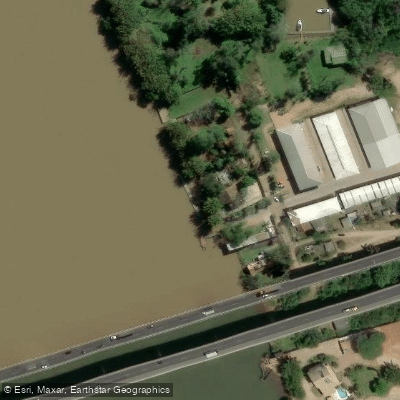
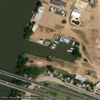
Learn how to get on Rio Jacuí. Uncover great paddling access points, boat ramps, and all the facilities you need for an unforgettable day on the water. Some locations shown may border or include private property. Always check property boundaries and applicable regulations before visiting. PaddleWays's Public & Private Land layer can help you plan your access with confidence.
Paddle smarter with real-time insights
Whether you're en route and conditions shift or you're looking for the best spot based on current flows, we enable you to make informed decisions on the fly.







Rio Grande Do Sul licenses and regulations
No licenses or regulations available for Rio Grande Do Sul.
Find Places to Paddle

Over 400,000 Places to Paddle
Every user gets free access to launch points, boat ramps, and public property parcels.


Water and weather conditions (10 day forecast)
See the best times to paddle Rio Jacuí and check the forecast before you go.
Ibirapuitã
All Flow Stations
Explore Rio Grande Do Sul waters
Top paddling waters
No waters available right now.
Popular Cities
Loading popular cities...
Explore near Rio Jacuí

Smarter Paddling Starts in the App.
Paddleways gives you everything you need to plan smarter, paddle better, and own every trip from first launch to takeout.