San Juan River
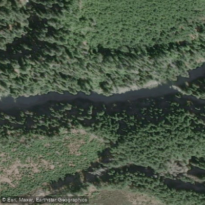
San Juan River
- Boat Ramps
- 0
- Access Points
- 0
- Campsites
- 1
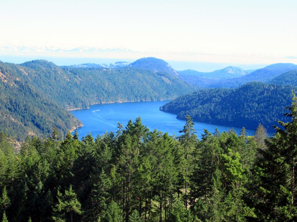
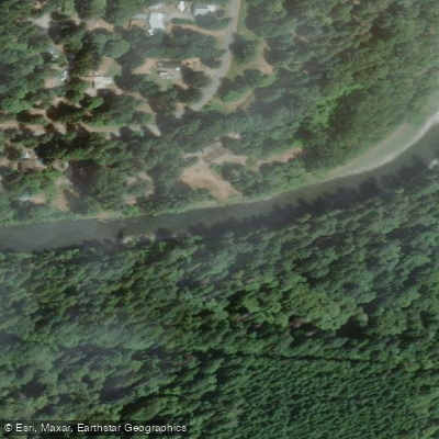
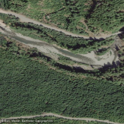
The San Juan River is located near Port Renfrew on southern Vancouver Island, British Columbia. The river flows through a landscape of dense coastal forest, with stretches of slow-moving, deep green water flanked by high walls of trees. The estuary section near Port Renfrew opens into broader tidal water, offering a distinctly different character from the upper river reaches.
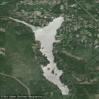
Summer is the recommended season for paddling the upper river, when water levels are low enough to make the trip manageable. The primary put-in for the upper section is the San Juan Bridge Recreation Site, reached by driving approximately 16.5 km north from Port Renfrew along the Pacific Circle Route to a Y intersection, staying right off the pavement, then staying right again onto Bear Creek Main and following it roughly 6 km of gravel road until crossing the San Juan River on a long bridge. The recreation site is immediately on the left after the bridge. The recommended take-out is Fairy Lake.
A significant hazard to be aware of is a large log jam that has blocked the San Juan River just west of Fairy Lake for a number of years, making it currently impossible to paddle all the way down to Port Renfrew. Paddlers who prefer a simpler outing can put in at Fairy Lake and paddle and line up the river, returning the same way.
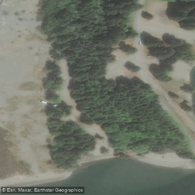
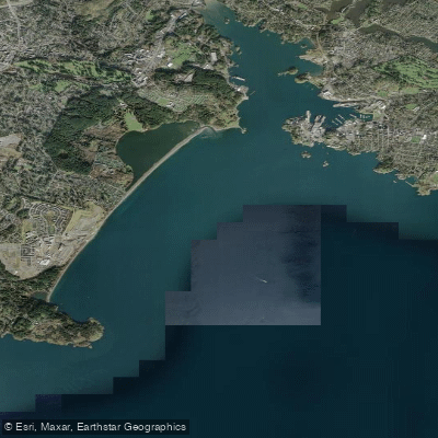
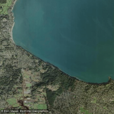
The estuary near Port Renfrew can be accessed from a sandy launch near the Pacheedaht campground. Paddlers exploring the estuary have reported being able to travel upstream from the river mouth, though the exact navigable distance varies. A powerline crosses the river near the mouth, marked with red and white balls. The estuary section is tidal, so conditions will vary with tide levels.
The San Juan River Estuary Ecological Reserve lies approximately 5 km northeast of Port Renfrew. The reserve falls within the Coastal Western Hemlock biogeoclimatic zone and the Juan de Fuca Strait terrestrial and marine ecosections. Consumptive activities including fishing and camping are prohibited within the ecological reserve, and motorized vehicles are not permitted. Non-destructive activities such as nature observation are allowed.
Water level information for the San Juan River is available through Anglers Atlas and related resources, which can assist with trip planning, particularly for the upper river section where levels are most relevant to paddling conditions.
Water access, boat ramps & amenities
Learn how to get on San Juan River. Uncover great paddling access points, boat ramps, and all the facilities you need for an unforgettable day on the water. Some locations shown may border or include private property. Always check property boundaries and applicable regulations before visiting. PaddleWays's Public & Private Land layer can help you plan your access with confidence.
Paddle smarter with real-time insights
Whether you're en route and conditions shift or you're looking for the best spot based on current flows, we enable you to make informed decisions on the fly.







Bc licenses and regulations
No licenses or regulations available for Bc.
Find Places to Paddle

Over 400,000 Places to Paddle
Every user gets free access to launch points, boat ramps, and public property parcels.


Water and weather conditions (10 day forecast)
See the best times to paddle San Juan River and check the forecast before you go.
SAN JUAN RIVER NEAR PORT RENFREW
Explore Bc waters
Top paddling waters
No waters available right now.
Popular Cities
Loading popular cities...
Explore near San Juan River

Smarter Paddling Starts in the App.
Paddleways gives you everything you need to plan smarter, paddle better, and own every trip from first launch to takeout.