Paddling in Kejimkujik National Park and National Historic Site
- National Park
- Lakes
- 40
- Rivers
- 35
- Access
- 0
- Boat Ramps
- 0
- Shops
- 0
Kejimkujik sits in the interior of southwestern Nova Scotia, a glacier-carved landscape of dark-water lakes, slow rivers, and portage-linked canoe routes that the Mi'kmaq have travelled for thousands of years.
The paddling here is flatwater — no whitewater to speak of — but that doesn't mean uncomplicated. The lakes run dark and rocky shallow from mid-July onward, winds build fast across open water, and backcountry navigation requires map and compass skills.
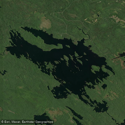
This is canoe-tripping country in the classic sense. Kejimkujik Lake anchors the system. The park's name itself derives from a Mi'kmaq word describing the exertion of paddling across it — a useful reminder that island-dotted flatwater still demands respect.
No navigation buoys mark the lake, so paddlers need a Backcountry Guide Map or GPS before heading out. As of 2026, motorized watercraft are prohibited throughout the park, which keeps the water quiet and the pace honest.
The Mersey River is the natural starting point for anyone new to the park.
From Jake's Landing, a one-to-two-hour trip upstream moves through overhanging red maples and past turtles, frogs, and water lilies; downstream the river opens onto Kejimkujik Lake and its coves.
A short 200-metre portage at the Eel Weir Bridge accesses George Lake, worth a few hours among its islands. Equipment rentals and guided trips run through Whynot Adventure out of Jake's Landing, with summer guided experiences offered in July and August.
Multi-day tripping extends the picture considerably.
The lake system connects Peskowesk Lake, Peskawa Lake, Frozen Ocean Lake, Big Dam Lake, Cobrielle Lake, and Hilchemakaar Lake through a network of portages — the same routes Mi'kmaq paddlers used to move between the Bay of Fundy and the Atlantic coast.
Bring what you need. There are no navigation buoys, no motorized rescue craft, and the dark water hides rocks that will find an unloaded hull. Check for blue-green algae before swimming or filtering. Clean, drain, and dry your gear between water bodies.
The park rewards paddlers who come prepared and move at the water's pace.
Top waters to paddle near Kejimkujik National Park And National Historic Site
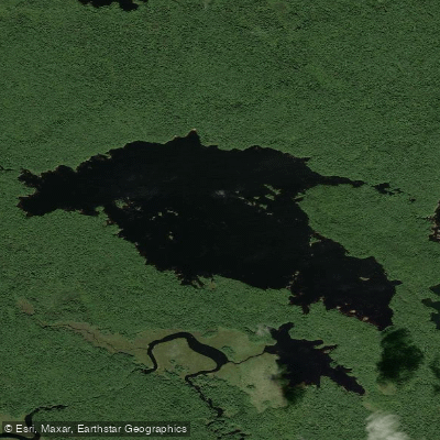
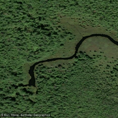
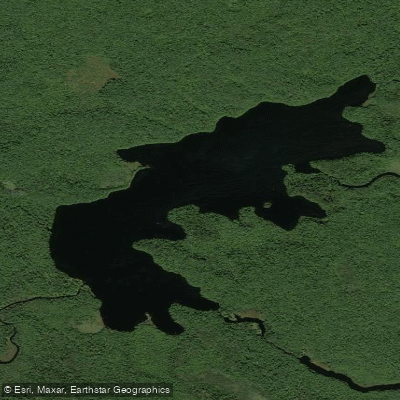
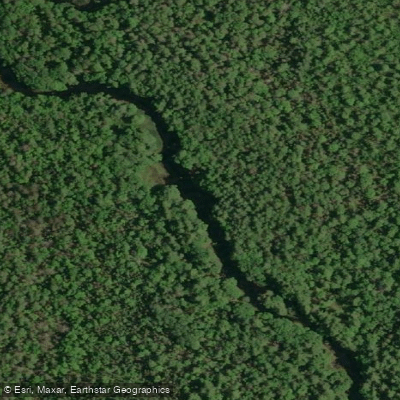
Water and weather conditions (10 day forecast)
See the best times to paddle Kejimkujik National Park and National Historic Site and check the forecast before you go.
No forecast data available.
Paddle smarter with real-time insights
Whether you're en route and conditions shift or you're looking for the best spot based on current flows, we enable you to make informed decisions on the fly.







Paddling near Kejimkujik National Park and National Historic Site
Loading...
Gateway towns
Where to base yourself for paddling in Kejimkujik National Park and National Historic Site.
- Maitland BridgeNova Scotia
The closest community to the inland park entrance, home to outfitters and chalets that serve as the main base for visitors.
- CaledoniaNova Scotia
The nearest village on Highway 8 to the inland park, a common reference point for supplies and access to Kejimkujik.
- KemptNova Scotia
A small community just outside the park boundary on Highway 8 with lodging steps from the inland entrance.
- Port JoliNova Scotia
The access point for Kejimkujik Seaside, the park's separate coastal section with its Atlantic wilderness trails.
Explore Kejimkujik National Park and National Historic Site
Top paddling waters
Popular Cities
Loading popular cities...

Smarter Paddling Starts in the App.
Paddleways gives you everything you need to plan smarter, paddle better, and own every trip from first launch to takeout.