Paddling in Vuntut National Park
- National Park
- Lakes
- 10
- Rivers
- 7
- Access
- 0
- Boat Ramps
- 0
- Shops
- 0
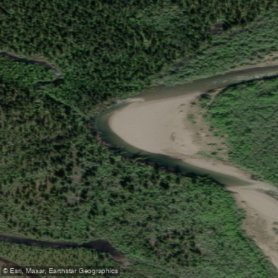
Vuntut sits in the far northwest corner of Yukon, where the land is defined less by mountains than by water.
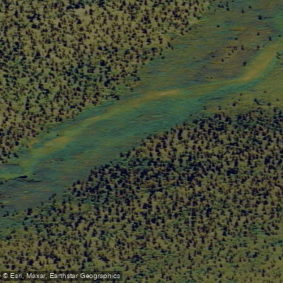
The name itself — Vuntut, meaning "among the lakes" in Gwich'in — tells you what to expect: a vast wetland complex in the south, rolling British Mountain foothills to the north, and almost no infrastructure anywhere.
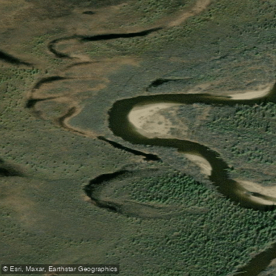
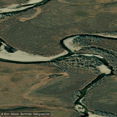
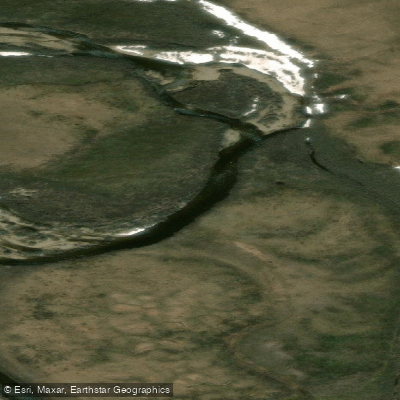
The Old Crow Flats, which make up the southern third of the park, hold more than 2,000 shallow lakes and ponds connected by small streams. This is flatwater country, remote and open, under a summer sky that barely darkens.
The closest community is Old Crow, a fly-in village of about 300 people at the confluence of the Crow and Porcupine Rivers. Both the park and Old Crow are accessible by air only — there are no roads in or out. That single fact shapes every paddling trip here.
Gear comes in by floatplane, and your exit plan depends on the same.
The Porcupine River runs near Old Crow and forms part of the broader watershed that drains this region, but paddlers need to plan their access and egress around aircraft logistics, not trailheads or boat ramps. The permit requirements are real and layered.
All overnight visitors must register before entering and deregister upon return — failure to check back in can make you financially responsible for a search.
Camping, open fires, and fuel or food caching each require a separate permit under a Superintendent's Order. Aircraft landing permits must be applied for at least three months in advance.
Permits are issued through Parks Canada; register in person at the John Tizya Centre in Old Crow or by phone at 867-667-3910. Fewer than 25 visitors reach the park in a typical year.
There are no facilities, no developed trails, and no rescue infrastructure on the water. Weather in this arctic continental climate can be severe even in summer, and conditions on the flats can change fast.
Anyone paddling here needs to be fully self-sufficient — navigation, emergency response, bear awareness, and the ability to sit out weather without outside help.
What the flats give in return is genuine solitude on water that has been paddled by Vuntut Gwich'in people for generations.
The shallow lakes and connecting streams of Van Tat are not technical paddling, but they demand competence: cold water, long distances between any form of help, and the kind of trip planning that starts months before you ever load a boat.
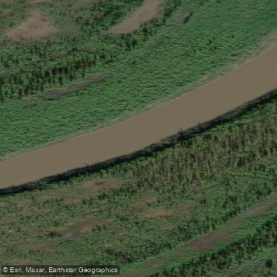
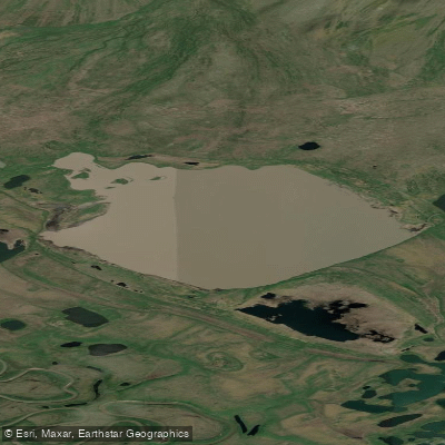
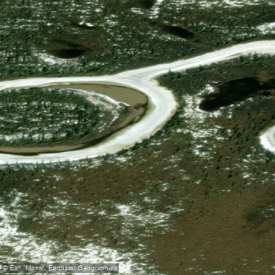
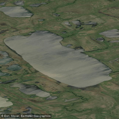
Top waters to paddle near Vuntut National Park
Water and weather conditions (10 day forecast)
See the best times to paddle Vuntut National Park and check the forecast before you go.
No forecast data available.
Paddle smarter with real-time insights
Whether you're en route and conditions shift or you're looking for the best spot based on current flows, we enable you to make informed decisions on the fly.







Paddling near Vuntut National Park
Loading...
Gateway towns
Where to base yourself for paddling in Vuntut National Park.
- Old CrowYT
The only access point for the park, this fly-in Gwich'in community is where you register, get permits, and find the John Tizya Centre before heading into the backcountry.
- WhitehorseYT
The main hub for flights into Old Crow; visitors typically stage here to gather supplies and gear before the final leg to the park.
- Dawson CityYT
A secondary departure point for scheduled flights into Old Crow, used by visitors approaching from the central Yukon.
- InuvikNT
An alternate air gateway to Old Crow for visitors approaching from the Northwest Territories side.
Explore Vuntut National Park
Top paddling waters
Popular Cities
Loading popular cities...

Smarter Paddling Starts in the App.
Paddleways gives you everything you need to plan smarter, paddle better, and own every trip from first launch to takeout.