Souris River
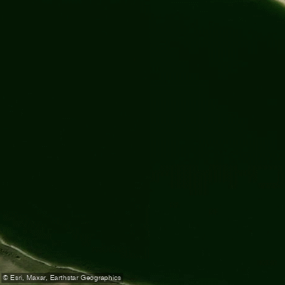
Souris River
- Boat Ramps
- 1
- Access Points
- 0
- Campsites
- 0
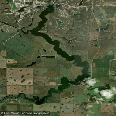
The Souris River originates near Weyburn, Saskatchewan, and flows generally eastward before eventually crossing into Manitoba. In Saskatchewan, the river passes through the city of Weyburn, where the City maintains a floating portable dock in River Park that serves as a launch point for canoes and kayaks. Jurisdiction over the river rests with the Crown rather than the City of Weyburn, and paddlers assume all risk and liability when using the river.
Further downstream, the Souris River feeds Rafferty Reservoir, a substantial body of water nearly 40 miles in length located between Weyburn and Estevan. Rafferty has a public boat launch with a concrete ramp and two docks at Rafferty Marina, though the marina is not developed and does not offer slips for continuous mooring. Camping near the marina is available in a gravel parking lot or nearby pastureland, without electrical or water hookups. The reservoir's summer operating level is maintained at 549.5 meters, with maximum storage capacity at 554 meters.
Rafferty Reservoir supports populations of walleye, pike, and perch, which have reportedly grown in recent years alongside increased aquatic vegetation. Rocky outcroppings are a notable geographical feature of the terrain surrounding the reservoir. The Souris River's headwaters begin approximately 140 river miles from Estevan, giving the Saskatchewan portion of the river considerable length before it reaches the reservoir.
Paddlers using the Souris River in winter or on ice surfaces are reminded by the City of Weyburn that users assume all risk, and standard ice thickness guidelines apply: a minimum of 10 cm for foot travel and 20 cm for snowmobile or ATV use.
Water access, boat ramps & amenities
Learn how to get on Souris River. Uncover great paddling access points, boat ramps, and all the facilities you need for an unforgettable day on the water. Some locations shown may border or include private property. Always check property boundaries and applicable regulations before visiting. PaddleWays's Public & Private Land layer can help you plan your access with confidence.
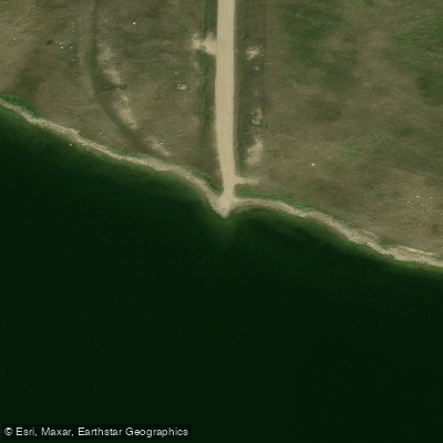
Paddle smarter with real-time insights
Whether you're en route and conditions shift or you're looking for the best spot based on current flows, we enable you to make informed decisions on the fly.








Find Places to Paddle

Over 400,000 Places to Paddle
Every user gets free access to launch points, boat ramps, and public property parcels.


Water and weather conditions (10 day forecast)
See the best times to paddle Souris River and check the forecast before you go.
YELLOW GRASS DITCH NEAR YELLOW GRASS
All Flow Stations
Explore Sk waters
Top paddling waters
No waters available right now.
Popular Cities
Loading popular cities...
Explore near Souris River

Smarter Paddling Starts in the App.
Paddleways gives you everything you need to plan smarter, paddle better, and own every trip from first launch to takeout.