Rio Hojalar
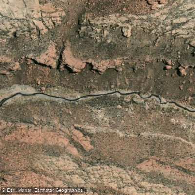
Rio Hojalar
- Boat Ramps
- 0
- Access Points
- 0
- Campsites
- 0
The Río Hojalar is an intermittent stream located in the Antofagasta Region of Chile, specifically within the El Loa province. It flows at a high elevation of 3,163 meters (approximately 10,377 feet) above sea level. As an intermittent stream, its flow is not constant and is highly dependent on seasonal rainfall or snowmelt from the surrounding Andean landscape. This characteristic defines the entire paddling experience, as the riverbed may be dry or have minimal water for significant portions of the year, making it unsuitable for paddling during those periods. The best and likely only time for any potential paddling activity would be during and immediately after the regional wet season, though specific monthly flow data is not available. The surrounding terrain is arid and mountainous, typical of the high Atacama Desert region. Satellite imagery reveals a stark, dramatic landscape with minimal vegetation, offering a remote and exposed paddling environment should water be present. There is no information available regarding specific access points for put-in or take-out, designated routes, water temperature, water quality, facilities, hazards, regulations, or historical significance. The absence of mention of any towns or infrastructure directly on the river in the available maps suggests a very remote location with no amenities for paddlers. Wildlife sightings would be limited to hardy, high-altitude desert species. Paddling here would be an extreme wilderness undertaking, suitable only for highly experienced and self-sufficient expedition teams prepared for significant logistical challenges, variable water levels, and the harsh conditions of a high-altitude desert.
Water access, boat ramps & amenities
Learn how to get on Rio Hojalar. Uncover great paddling access points, boat ramps, and all the facilities you need for an unforgettable day on the water. Some locations shown may border or include private property. Always check property boundaries and applicable regulations before visiting. PaddleWays's Public & Private Land layer can help you plan your access with confidence.
Paddle smarter with real-time insights
Whether you're en route and conditions shift or you're looking for the best spot based on current flows, we enable you to make informed decisions on the fly.







Antofagasta licenses and regulations
No licenses or regulations available for Antofagasta.
Find Places to Paddle

Over 400,000 Places to Paddle
Every user gets free access to launch points, boat ramps, and public property parcels.


Water and weather conditions (10 day forecast)
See the best times to paddle Rio Hojalar and check the forecast before you go.
No forecast data available.
Paddling near Rio Hojalar
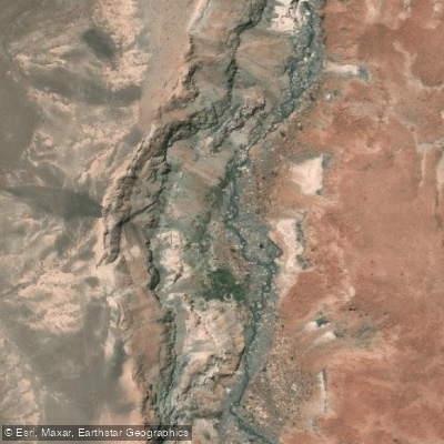
Rio Salado
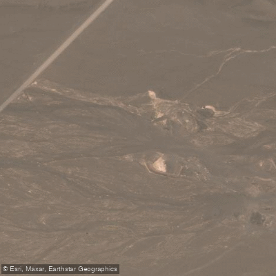
Quebrada Rio Seco
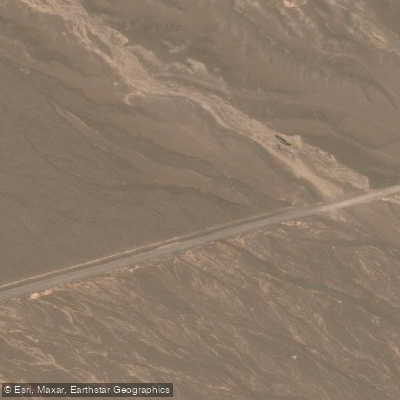
Quebrada Agua De La Teca
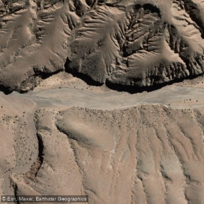
Quebrada Yalqui
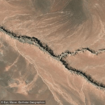
Quebrada Mal Paso
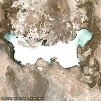
Laguna Tebenquiche
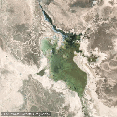
Laguna Barros Negros
Explore Antofagasta waters
Top paddling waters
No waters available right now.
Popular Cities
Loading popular cities...
Explore near Rio Hojalar

Smarter Paddling Starts in the App.
Paddleways gives you everything you need to plan smarter, paddle better, and own every trip from first launch to takeout.