Playa La Liserilla
- Saltwater
- Beach
Playa La Liserilla
- Saltwater
- Beach
- Sq. miles
- 0
- Boat Ramps
- 0
- Access Points
- 0
- Campsites
- 0
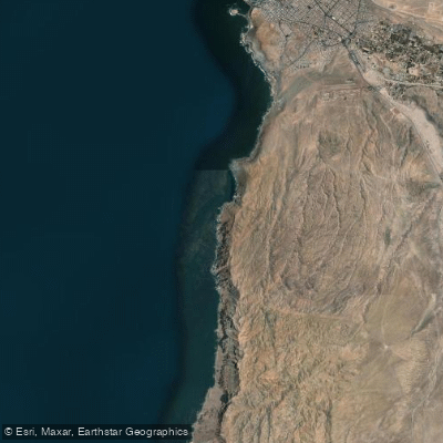
Playa La Liserilla is a remote beach located south of the urban area of Arica in the Arica y Parinacota Region of Chile. Access is exclusively on foot, as the beach is situated between cliffs. The primary access route is via Avenida Comandante San Martín heading south. The beach is nearly virgin and not very crowded, contributing to its secluded character. Its shore is stony, and the waves are moderate. This combination of a rocky shoreline and consistent wave action means paddlers launching kayaks or SUPs should be prepared for a shore-break and carry their craft over stones to reach the water.
The beach offers a striking natural landscape along the Arican coast. It is located near the Cuevas de Anzota (Anzota Caves) and is part of a coastal area that includes nearby Playa Corazones, which is approximately 2.1 kilometers away. These features suggest potential paddle routes for experienced paddlers comfortable in open ocean conditions, allowing for exploration of the cliff-lined coast and sea caves. The area is also proximate to natural reserves like the Santuario de la Naturaleza y RENAMU Humedal Desembocadura Río Lluta.
Camping is permitted at Playa La Liserilla, indicating that multi-day kayak touring expeditions using the beach as a stopover could be feasible. The beach's remote nature means facilities and amenities for paddlers are likely minimal to non-existent. Paddlers must be self-sufficient, carrying all necessary gear and water, and planning for the carry from the access point to the water's edge. The region's climate is generally arid and coastal.
Water access, boat ramps & amenities
Learn how to get on Playa La Liserilla. Uncover great paddling access points, boat ramps, and all the facilities you need for an unforgettable day on the water. Some locations shown may border or include private property. Always check property boundaries and applicable regulations before visiting. PaddleWays's Public & Private Land layer can help you plan your access with confidence.
Paddle smarter with real-time insights
Whether you're en route and conditions shift or you're looking for the best spot based on current flows, we enable you to make informed decisions on the fly.







Arica Y Parinacota licenses and regulations
No licenses or regulations available for Arica Y Parinacota.
Find Places to Paddle

Over 400,000 Places to Paddle
Every user gets free access to launch points, boat ramps, and public property parcels.


Tides, wind & water conditions (10 day forecast)
On open water, wind and tide matter as much as the weather. See the best times to paddle Playa La Liserilla and check the marine forecast before you launch.
Loading tide predictions…
Paddling near Playa La Liserilla
Quebrada De Vitor
Rio Camarones
Playa Chinchorro
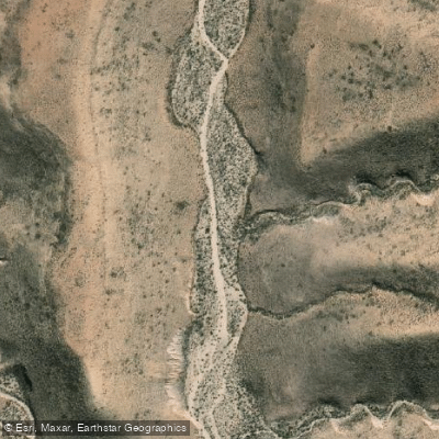
Quebrada Rio Seco
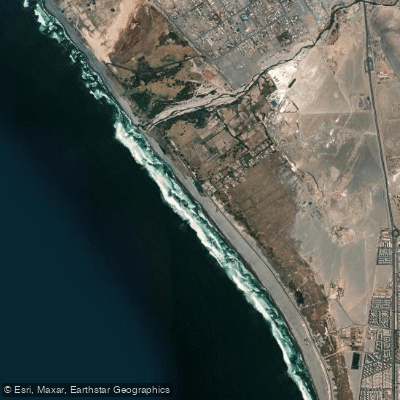
Playa Las Machas
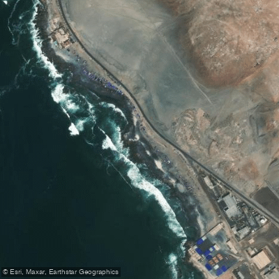
Playa Arenillas Negras
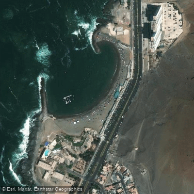
Playa El Laucho
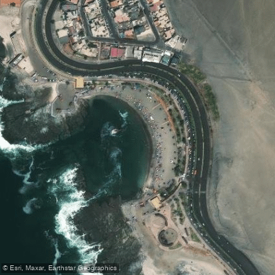
Playa La Lisera
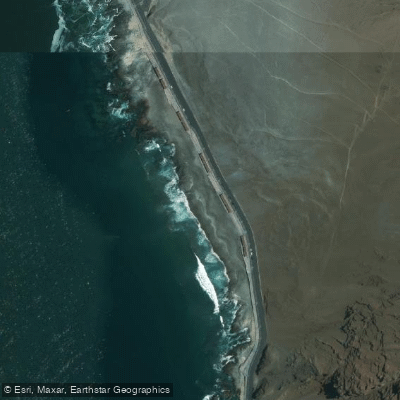
Playa Corazones
Explore Arica Y Parinacota waters
Top paddling waters
No waters available right now.
Popular Cities
Loading popular cities...
Explore near Playa La Liserilla

Smarter Paddling Starts in the App.
Paddleways gives you everything you need to plan smarter, paddle better, and own every trip from first launch to takeout.