Rio Ajatama
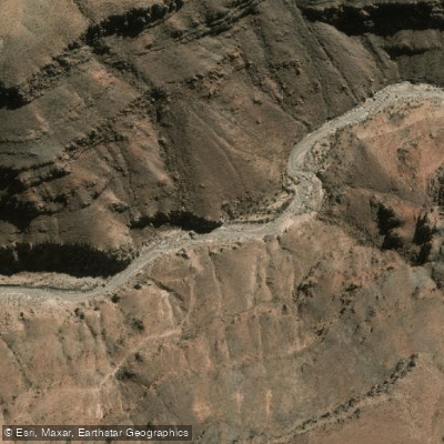
Rio Ajatama
- Boat Ramps
- 0
- Access Points
- 0
- Campsites
- 0
The Río Ajatama is a small river in the Arica y Parinacota Region of northern Chile, flowing approximately 14 kilometers in a general southwest direction before joining the Río Caritaya to form the Río Camarones. It originates at the foot of the western slopes of the extinct volcano Chuquiananta and the Cerro Talapacheta, fed by several tributary streams including the Taruguire, Parcoalla, and Chuquiananta arroyos, as well as the Estero Veco (also known as the Río Macusa), which drains from the north off the eastern flank of Cerro Talapacheta. The river is also described as forming from the union of the Río Macusa and the Quebrada Chacia.
The Río Ajatama is one of only two permanent tributaries of the Río Camarones — the other being the Río Caritaya — making it hydrologically significant in a region where most watercourses flow only intermittently in response to rainfall. The mean discharge was measured at 240 liters per second during the summer of 2009. The river lies within the Camarones river basin, which is the southernmost basin in the Arica y Parinacota Region.
The surrounding landscape is shaped by volcanic and sedimentary geology, including basaltic to andesitic lavas, rhyolitic tuffs, and granodioritic intrusive rocks typical of the Andean precordillera. The confluence zone where the Ajatama meets the Río Caritaya, and where the Río Camarones begins, sits above 3,000 meters above sea level. The Embalse Caritaya, an artificial reservoir completed in 1935 on the Río Caritaya, is located roughly 10 kilometers upstream of that confluence.
No paddling-specific information — including access points, put-ins, take-outs, hazards, regulations, or recommended routes — is available for the Río Ajatama. Given the river's short length of 14 kilometers, its high-altitude location in the Andean precordillera, and its modest flow rate, prospective paddlers should conduct thorough on-the-ground reconnaissance before any attempt.
Water access, boat ramps & amenities
Learn how to get on Rio Ajatama. Uncover great paddling access points, boat ramps, and all the facilities you need for an unforgettable day on the water. Some locations shown may border or include private property. Always check property boundaries and applicable regulations before visiting. PaddleWays's Public & Private Land layer can help you plan your access with confidence.
Paddle smarter with real-time insights
Whether you're en route and conditions shift or you're looking for the best spot based on current flows, we enable you to make informed decisions on the fly.







Arica Y Parinacota licenses and regulations
No licenses or regulations available for Arica Y Parinacota.
Find Places to Paddle

Over 400,000 Places to Paddle
Every user gets free access to launch points, boat ramps, and public property parcels.


Water and weather conditions (10 day forecast)
See the best times to paddle Rio Ajatama and check the forecast before you go.
No forecast data available.
Paddling near Rio Ajatama
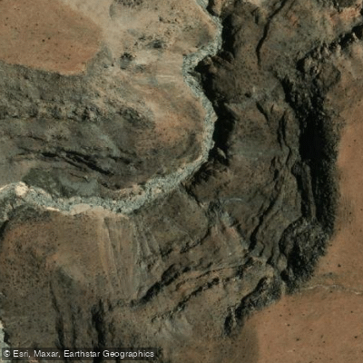
Quebrada Camina
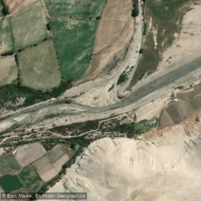
Rio Camarones
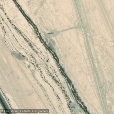
Quebrada Salar De Pintados
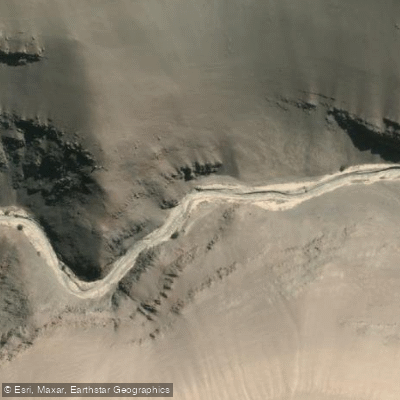
Quebrada De Suca
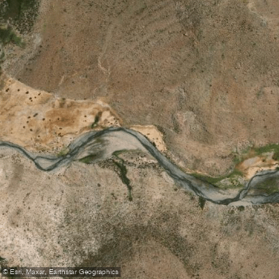
Quebrada Mulluri
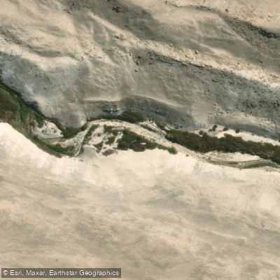
Quebrada De Retamilla
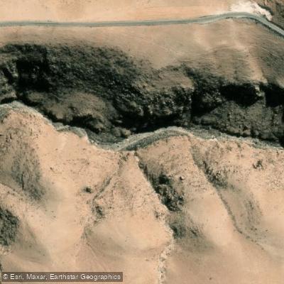
Quebrada Saguara
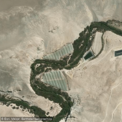
Quebrada De Vitor
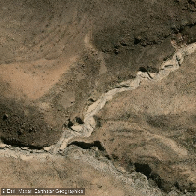
Rio Blanco
Explore Arica Y Parinacota waters
Top paddling waters
No waters available right now.
Popular Cities
Loading popular cities...
Explore near Rio Ajatama

Smarter Paddling Starts in the App.
Paddleways gives you everything you need to plan smarter, paddle better, and own every trip from first launch to takeout.