Embalse Santa Juana
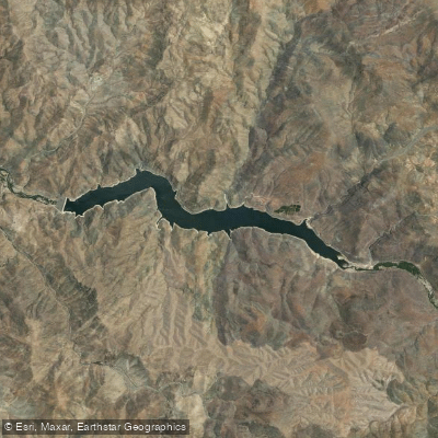
Embalse Santa Juana
- Boat Ramps
- 0
- Access Points
- 0
- Campsites
- 0
Embalse Santa Juana is a large artificial reservoir on the Huasco River, located approximately 15 kilometers southeast of the city of Vallenar in Chile's Atacama Region. It is the largest and most important hydraulic infrastructure in the region, with a significant storage capacity. The reservoir is situated in the Valle del Huasco, and a primary access point is via Route C-485, which leads from Vallenar into the mountains for about 22 kilometers. This road provides access to a designated parking area and a pedestrian zone near the dam. The water body is set within a desert mountain landscape, offering a stark and scenic environment for visitors. A notable trail of approximately 24 kilometers, considered moderately challenging, runs near the reservoir and is open year-round. The reservoir's primary functions are water storage and hydroelectric power generation, which may imply regulated water levels. There is no specific information available regarding designated paddling put-ins or take-outs, water temperature patterns, water quality, on-water hazards, or any regulations explicitly permitting or restricting recreational paddling. The available amenities appear limited to the mentioned parking and pedestrian area. The overall character of a visit is defined by its remote, engineered presence within the arid Atacama landscape, serving a vital regional purpose while offering a destination for hiking and viewing.
Water access, boat ramps & amenities
Learn how to get on Embalse Santa Juana. Uncover great paddling access points, boat ramps, and all the facilities you need for an unforgettable day on the water. Some locations shown may border or include private property. Always check property boundaries and applicable regulations before visiting. PaddleWays's Public & Private Land layer can help you plan your access with confidence.
Paddle smarter with real-time insights
Whether you're en route and conditions shift or you're looking for the best spot based on current flows, we enable you to make informed decisions on the fly.







Atacama licenses and regulations
No licenses or regulations available for Atacama.
Find Places to Paddle

Over 400,000 Places to Paddle
Every user gets free access to launch points, boat ramps, and public property parcels.


Water and weather conditions (10 day forecast)
See the best times to paddle Embalse Santa Juana and check the forecast before you go.
No forecast data available.
Paddling near Embalse Santa Juana
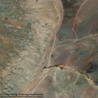
Quebrada Seca
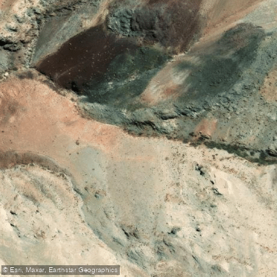
Quebrada La Mollaca
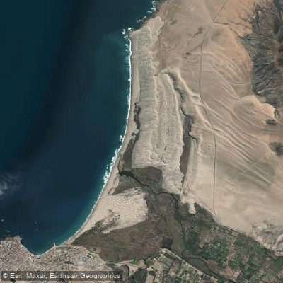
Playa Grande
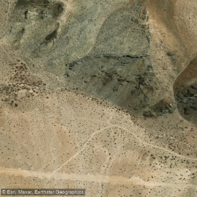
Quebrada La Llareta
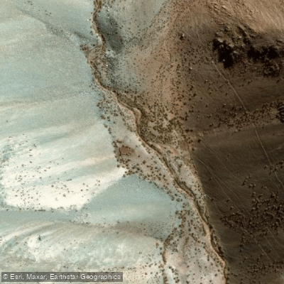
Quebrada Piuquenes
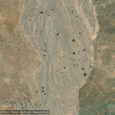
Quebrada Pelicano
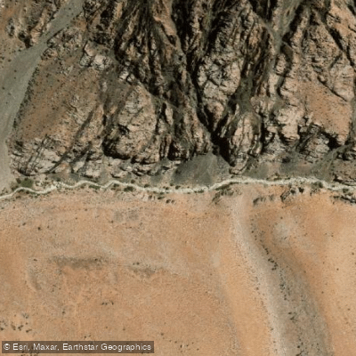
Rio Blanco
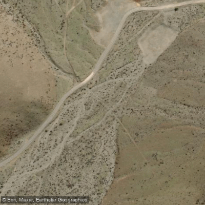
Quebrada El Morado
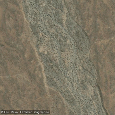
Quebrada Agua Salada
Explore Atacama waters
Top paddling waters
No waters available right now.
Popular Cities
Loading popular cities...
Explore near Embalse Santa Juana

Smarter Paddling Starts in the App.
Paddleways gives you everything you need to plan smarter, paddle better, and own every trip from first launch to takeout.