Quebrada Chulo
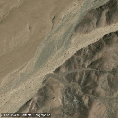
Quebrada Chulo
- Boat Ramps
- 0
- Access Points
- 0
- Campsites
- 0
Quebrada Chulo is a watercourse located in the Atacama Region of Chile, situated within the broader landscape of the Atacama Desert. It is part of the Quebrada Paipote system. The specific locality known as Chulo is positioned approximately 16 kilometers from a reference point, though the exact start and end points of the watercourse itself are not detailed. The area presents a desert environment, which suggests the water body may be intermittent or seasonal, characteristic of the region's arid climate. For paddlers, this implies that water levels and navigability are highly dependent on recent rainfall and seasonal patterns, with the potential for the channel to be dry during extended periods. The aesthetic is defined by the stark, dramatic scenery of the Atacama Desert. One online resource indicates the existence of maps and reports that could detail fishing access points, boat ramps, and facilities, suggesting that some infrastructure for water-based recreation may exist, but the specific nature and location of these amenities are not described. No information is available regarding specific hazards, regulations, water temperatures, water quality, recommended routes, wildlife, or the historical significance of this particular quebrada. Paddlers should conduct thorough, up-to-date research on current water conditions and access before planning any trip, as desert waterways can present significant logistical and safety challenges.
Water access, boat ramps & amenities
Learn how to get on Quebrada Chulo. Uncover great paddling access points, boat ramps, and all the facilities you need for an unforgettable day on the water. Some locations shown may border or include private property. Always check property boundaries and applicable regulations before visiting. PaddleWays's Public & Private Land layer can help you plan your access with confidence.
Paddle smarter with real-time insights
Whether you're en route and conditions shift or you're looking for the best spot based on current flows, we enable you to make informed decisions on the fly.







Atacama licenses and regulations
No licenses or regulations available for Atacama.
Find Places to Paddle

Over 400,000 Places to Paddle
Every user gets free access to launch points, boat ramps, and public property parcels.


Water and weather conditions (10 day forecast)
See the best times to paddle Quebrada Chulo and check the forecast before you go.
No forecast data available.
Paddling near Quebrada Chulo
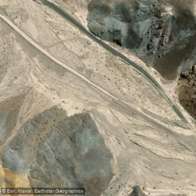
Quebrada Carrizalillo
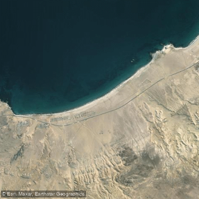
Playa Paraíso
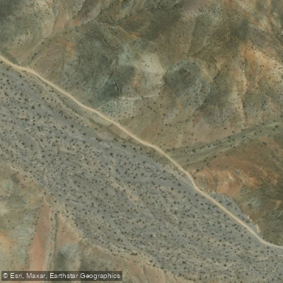
Quebrada Cortadera
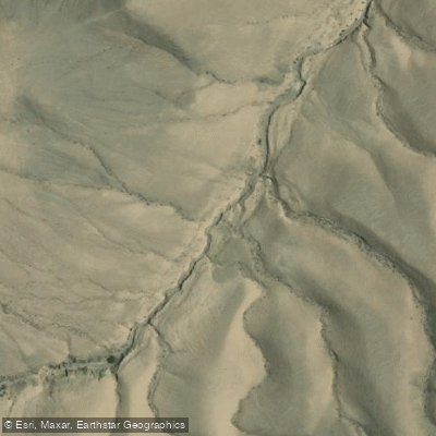
Quebrada Los Algarrobos
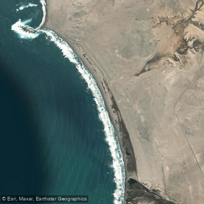
Playa Las Salinas
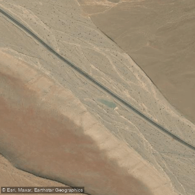
Quebrada Salitrosa
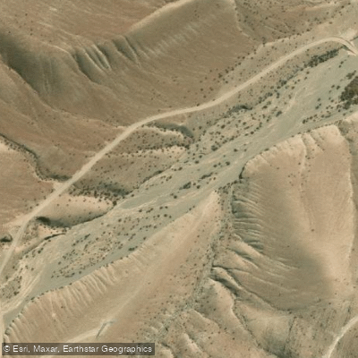
Quebrada Angostura
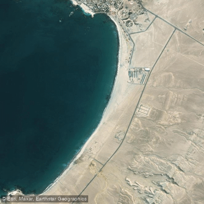
Playa Las Machas
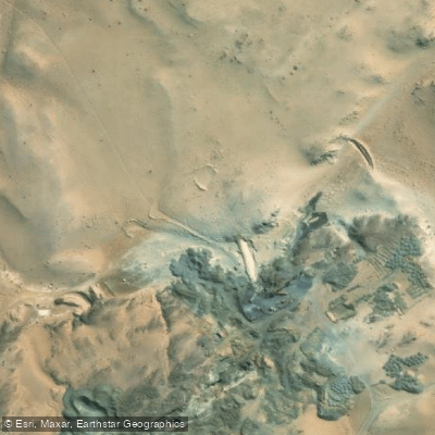
Quebrada Seca
Explore Atacama waters
Top paddling waters
No waters available right now.
Popular Cities
Loading popular cities...
Explore near Quebrada Chulo

Smarter Paddling Starts in the App.
Paddleways gives you everything you need to plan smarter, paddle better, and own every trip from first launch to takeout.