Quebrada San Andres
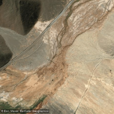
Quebrada San Andres
- Boat Ramps
- 0
- Access Points
- 0
- Campsites
- 0
The Quebrada San Andrés is an intermittent natural watercourse located in the Atacama Region of Chile. It originates on the western side of the watershed divide with the Salar de Maricunga. The water body flows through a broad valley at an altitude of approximately 2400 meters above sea level. Its character is defined by its intermittent flow, meaning water levels and the viability of paddling are highly dependent on seasonal rainfall and snowmelt patterns. The surrounding landscape is part of the high desert of the Atacama Region, featuring arid, mountainous terrain. The watercourse is part of a larger hydrological sub-basin that includes the administrative communes of Chañaral, Diego de Almagro, and Copiapó. Specific access points for putting in or taking out, detailed routes, seasonal water temperatures, water quality, and any paddling-specific regulations or facilities are not described. The area's historical or cultural significance is not mentioned, nor are any notable sights, hazards, or wildlife features directly along the waterway. Paddlers should be aware that the intermittent nature of the flow presents a significant planning consideration, and thorough, up-to-date local reconnaissance is essential before any trip.
Water access, boat ramps & amenities
Learn how to get on Quebrada San Andres. Uncover great paddling access points, boat ramps, and all the facilities you need for an unforgettable day on the water. Some locations shown may border or include private property. Always check property boundaries and applicable regulations before visiting. PaddleWays's Public & Private Land layer can help you plan your access with confidence.
Paddle smarter with real-time insights
Whether you're en route and conditions shift or you're looking for the best spot based on current flows, we enable you to make informed decisions on the fly.







Atacama licenses and regulations
No licenses or regulations available for Atacama.
Find Places to Paddle

Over 400,000 Places to Paddle
Every user gets free access to launch points, boat ramps, and public property parcels.


Water and weather conditions (10 day forecast)
See the best times to paddle Quebrada San Andres and check the forecast before you go.
No forecast data available.
Paddling near Quebrada San Andres
Quebrada Chañaral Alto
Quebrada De La Angostura
Playa Blanca
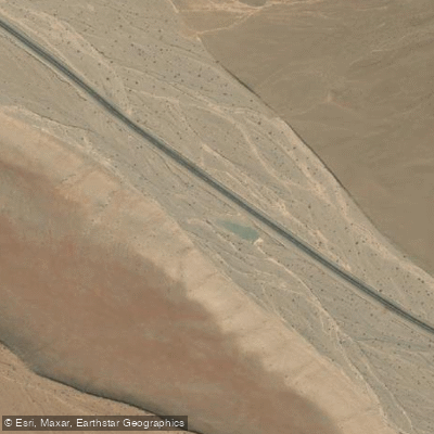
Quebrada Salitrosa
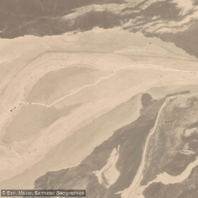
Quebrada Carrizalillo
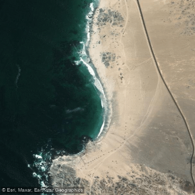
Playa Soldado
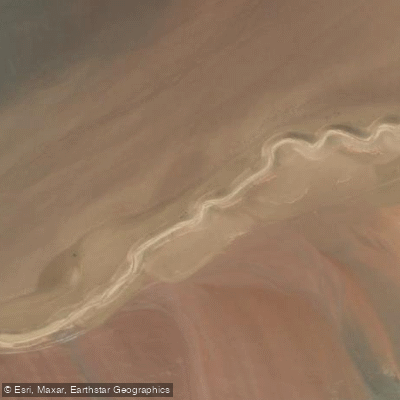
Quebrada Vicunita
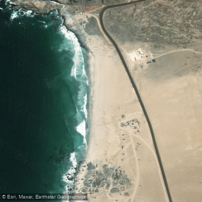
Playa Piqueros
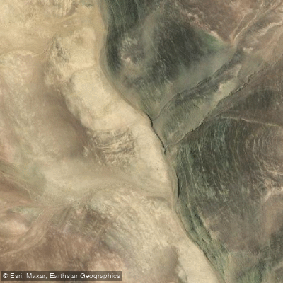
Quebrada Vicuna
Explore Atacama waters
Top paddling waters
No waters available right now.
Popular Cities
Loading popular cities...
Explore near Quebrada San Andres

Smarter Paddling Starts in the App.
Paddleways gives you everything you need to plan smarter, paddle better, and own every trip from first launch to takeout.