Embalse La Paloma
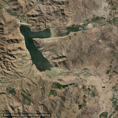
Embalse La Paloma
- Boat Ramps
- 0
- Access Points
- 0
- Campsites
- 2
Embalse La Paloma is a large irrigation reservoir located approximately 27 kilometres southeast of the city of Ovalle in the Coquimbo Region of Chile, at coordinates 30°45′S 71°0′W and an elevation of roughly 328–383 metres above sea level. It covers a surface area of 30 square kilometres with a water volume of 750 million cubic metres, making it the largest irrigation reservoir in Chile. The reservoir was inaugurated in 1968 and is fed primarily by the Grande River and the Guatulame River, with outflow returning to the Grande River.
The reservoir draws both local residents and visitors as a recreational destination. Kayaking is an established activity on the water, with organized kayak outings having been offered in conjunction with the municipality of Ovalle, including free community paddling programs. The reservoir has also been promoted as a venue for rowing, windsurfing, and kitesurfing, with ambitions to host national-level competitions in these disciplines. The surrounding landscape, viewed from elevated vantage points such as Cerro Huatulame, provides a distinctive semi-arid backdrop characteristic of the Coquimbo Region.
Wind conditions at the reservoir are notable: the area is recognized for consistent winds that make it suitable for wind-powered water sports. Average wind speeds documented for the area refer primarily to the nearby Embalse Puclaro, and the two reservoirs are recognized together as wind sport destinations, suggesting Embalse La Paloma also experiences meaningful wind exposure that paddlers should factor into trip planning.
Fishing is another popular activity, with Argentinian silverside being the most commonly targeted species. The reservoir functions primarily as an agricultural water supply, which is relevant context for understanding water level fluctuations that may affect access and paddling conditions across different seasons. The area around the reservoir is also noted for its scenic and tourism appeal, and a point-to-point hiking trail to the Mirador Embalse La Paloma covers approximately 14.8 miles with 1,482 feet of elevation gain, offering views over the water.
Water access, boat ramps & amenities
Learn how to get on Embalse La Paloma. Uncover great paddling access points, boat ramps, and all the facilities you need for an unforgettable day on the water. Some locations shown may border or include private property. Always check property boundaries and applicable regulations before visiting. PaddleWays's Public & Private Land layer can help you plan your access with confidence.
Paddle smarter with real-time insights
Whether you're en route and conditions shift or you're looking for the best spot based on current flows, we enable you to make informed decisions on the fly.







Coquimbo licenses and regulations
No licenses or regulations available for Coquimbo.
Find Places to Paddle

Over 400,000 Places to Paddle
Every user gets free access to launch points, boat ramps, and public property parcels.


Water and weather conditions (10 day forecast)
See the best times to paddle Embalse La Paloma and check the forecast before you go.
Rio Rapel En Paloma
All Flow Stations
Paddling near Embalse La Paloma
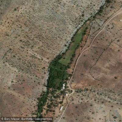
Quebrada Los Maitenes
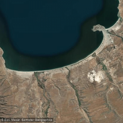
Playa Grande
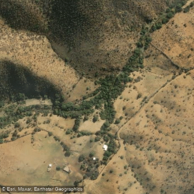
Quebrada Arrayan
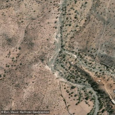
Quebrada Carcamo
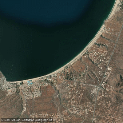
Playa Guanaqueros
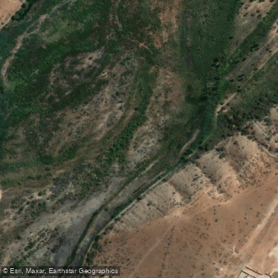
Quebrada Del Ingenio
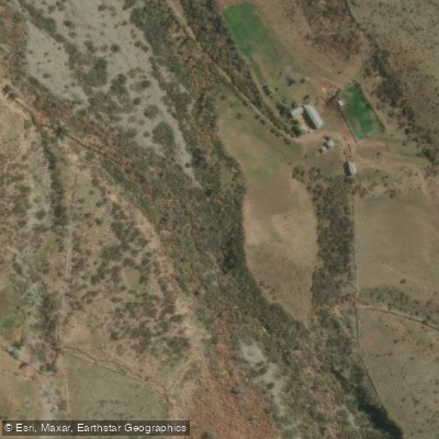
Rio Tulahuencito
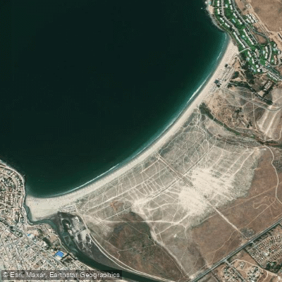
Playa Socos
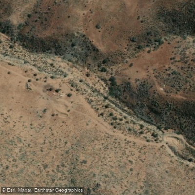
Quebrada Infiernillo
Explore Coquimbo waters
Top paddling waters
No waters available right now.
Popular Cities
Loading popular cities...
Explore near Embalse La Paloma

Smarter Paddling Starts in the App.
Paddleways gives you everything you need to plan smarter, paddle better, and own every trip from first launch to takeout.