Bahía Inútil
- Saltwater
- Bay
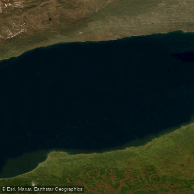
Bahía Inútil
- Saltwater
- Bay
- Sq. miles
- 640
- Boat Ramps
- 0
- Access Points
- 0
- Campsites
- 0
Bahía Inútil is a large coastal bay on the Chilean side of Tierra del Fuego, named in 1827 for its lack of value as a protected anchorage for ships. This historical designation hints at its exposed nature, a critical consideration for paddlers. The bay is characterized by immense cliffs and a coastline shaped by past glaciers, opening out towards the Strait of Magellan. The surrounding landscape is a vast Patagonian pampa, a steppe covered in coirones grass where few trees grow, often bent horizontally by the persistent wind. Access is via gravel roads in good condition, with the main terrestrial access point being the town of Porvenir, approximately 110 to 130 kilometers to the north. A specific potential launch or take-out site near the bay is the Estancia Caleta Josefina, located about 10 minutes from the bay itself. The primary attraction for visitors is the King Penguin Park, home to the only colony of King Penguins in South America, located on the bay's shore. Wildlife in the area also includes guanacos and flamingos. The climate is extreme and windy, with the windiest months typically being December through March. Summer offers long daylight hours, between 12 and 17 hours from November to April, while winter days are short. The bay's remote location and exposure mean paddlers must be prepared for strong winds, significant fetch, and cold conditions, requiring appropriate layered clothing and UV protection. The presence of a significant penguin colony suggests paddlers should maintain a respectful distance to avoid disturbing wildlife.
Water access, boat ramps & amenities
Learn how to get on Bahía Inútil. Uncover great paddling access points, boat ramps, and all the facilities you need for an unforgettable day on the water. Some locations shown may border or include private property. Always check property boundaries and applicable regulations before visiting. PaddleWays's Public & Private Land layer can help you plan your access with confidence.
Paddle smarter with real-time insights
Whether you're en route and conditions shift or you're looking for the best spot based on current flows, we enable you to make informed decisions on the fly.







Magallanes licenses and regulations
No licenses or regulations available for Magallanes.
Find Places to Paddle

Over 400,000 Places to Paddle
Every user gets free access to launch points, boat ramps, and public property parcels.


Tides, wind & water conditions (10 day forecast)
On open water, wind and tide matter as much as the weather. See the best times to paddle Bahía Inútil and check the marine forecast before you launch.
Loading tide predictions…
Paddling near Bahía Inútil
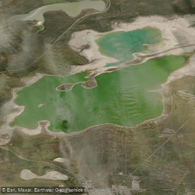
Laguna de los Cisnes
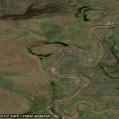
Río Serrano
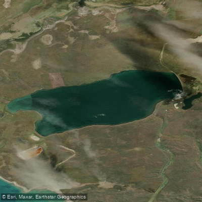
Lago Serrano
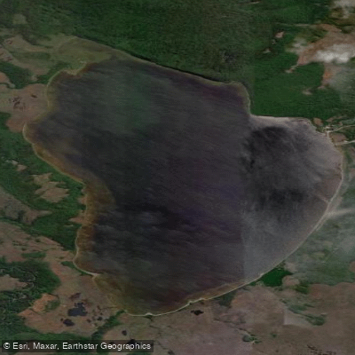
Laguna El Parrillar
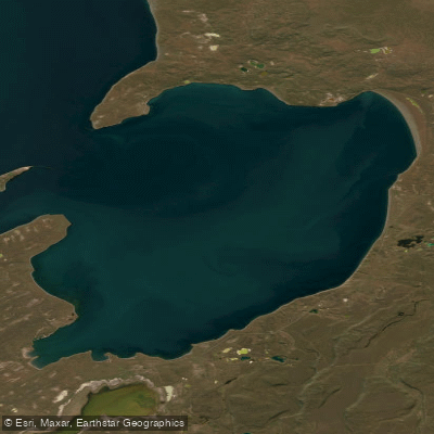
Bahía Gente Grande
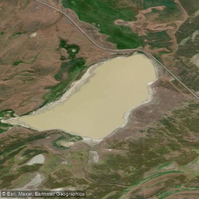
Laguna Los Palos
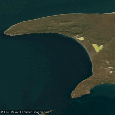
Bahía Lee
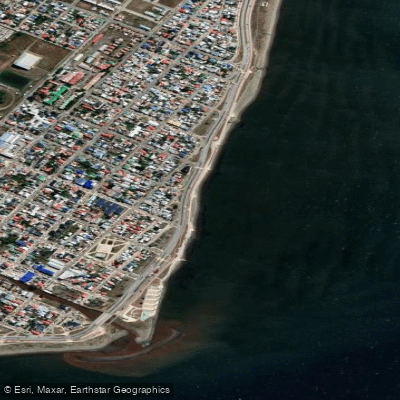
Playa Norte
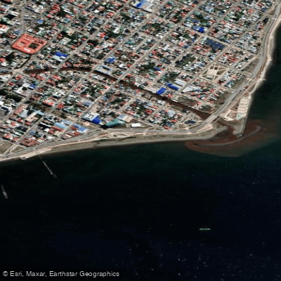
Playa Colón
Explore Magallanes waters
Top paddling waters
No waters available right now.
Popular Cities
Loading popular cities...
Explore near Bahía Inútil

Smarter Paddling Starts in the App.
Paddleways gives you everything you need to plan smarter, paddle better, and own every trip from first launch to takeout.