Lago Vichuquén
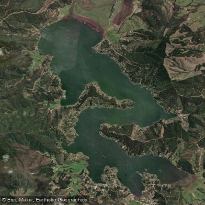
Lago Vichuquén
- Boat Ramps
- 0
- Access Points
- 1
- Campsites
- 3
Lago Vichuquén is a coastal lake situated in the comuna of Vichuquén, Provincia de Curicó, in Chile's Maule Region. It lies at roughly 2 meters above sea level and covers approximately 40 square kilometers, stretching about 18 kilometers at its longest point. The lake is separated from the Pacific Ocean by a narrow strip of dunes and forest, and it connects to the sea via the Estero de Llico. The nearby settlement of Llico and the town of Vichuquén, located about 8 kilometers away, are the principal inhabited centers in the area. The lake's name derives from Mapudungún and is associated with sorcery and the supernatural; a small community called Aquelarre sits on its shores, reflecting this cultural heritage.
The lake is accessible by land via Route J-60 from Curicó, continuing on Route J-80. Because the water is shallow overall, it warms considerably during summer, making it a popular destination for water sports including kayak, sailing, windsurf, water-skiing, and sport fishing. The best months for paddling and other water activities are generally October through April, aligning with the dry Mediterranean season. Summer high temperatures range from 19°C to 30°C, while winter minimums drop to around 7°C.
Black-necked swans are a common sight on the lake, and the adjacent Laguna Torca is a protected natural reserve worth noting for wildlife observation. The surrounding landscape combines dunes, coastal forest, and rural agricultural land. Panoramic viewpoints and trails in the area offer views of both the lake and the Pacific Ocean.
Facilities and tourist infrastructure are available, including accommodation, food services, camping, and organized boat excursions. Nearby attractions include the beaches of Iloca and Duao, Llico Bay, the Torca Lagoon National Reserve, and the town of Vichuquén itself, which has been designated a Zona Típica for its preserved colonial architecture and houses a local museum. The lake draws significant visitor numbers from Santiago and Talca during the summer season, so paddlers should expect increased boat traffic and activity on the water during those months.
Water access, boat ramps & amenities
Learn how to get on Lago Vichuquén. Uncover great paddling access points, boat ramps, and all the facilities you need for an unforgettable day on the water. Some locations shown may border or include private property. Always check property boundaries and applicable regulations before visiting. PaddleWays's Public & Private Land layer can help you plan your access with confidence.
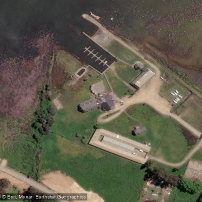
Paddle smarter with real-time insights
Whether you're en route and conditions shift or you're looking for the best spot based on current flows, we enable you to make informed decisions on the fly.







Maule licenses and regulations
No licenses or regulations available for Maule.
Find Places to Paddle

Over 400,000 Places to Paddle
Every user gets free access to launch points, boat ramps, and public property parcels.


Water and weather conditions (10 day forecast)
See the best times to paddle Lago Vichuquén and check the forecast before you go.
No forecast data available.
Paddling near Lago Vichuquén
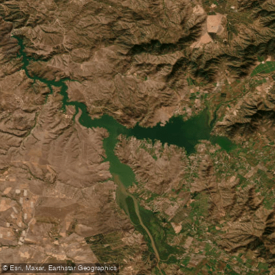
Lago Rapel
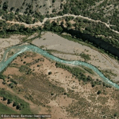
Rio Cachapoal
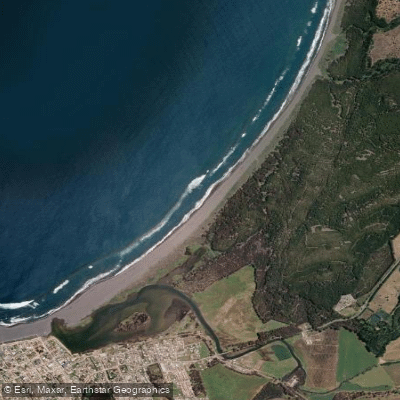
Playa San Antonio
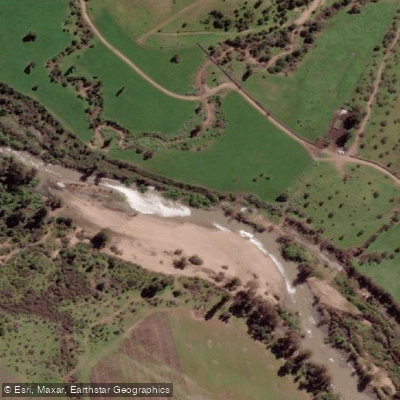
Estero De Nilahue
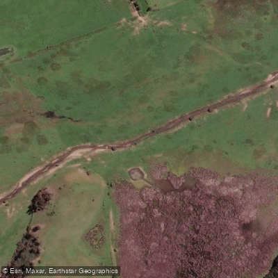
Estero Paredones
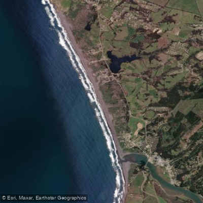
Playa La Pancora
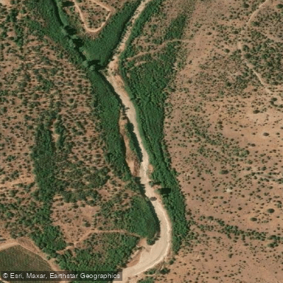
Estero Las Cadenas
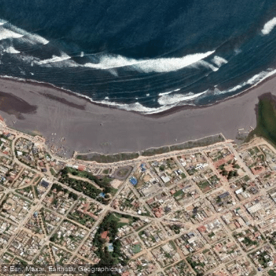
Playa Principal
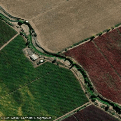
Estero Nilahue
Explore Maule waters
Top paddling waters
No waters available right now.
Popular Cities
Loading popular cities...
Explore near Lago Vichuquén

Smarter Paddling Starts in the App.
Paddleways gives you everything you need to plan smarter, paddle better, and own every trip from first launch to takeout.