Paddling in Laguna San Rafael National Park
- National Park
- Lakes
- 24
- Rivers
- 22
- Access
- 0
- Boat Ramps
- 0
- Shops
- 0
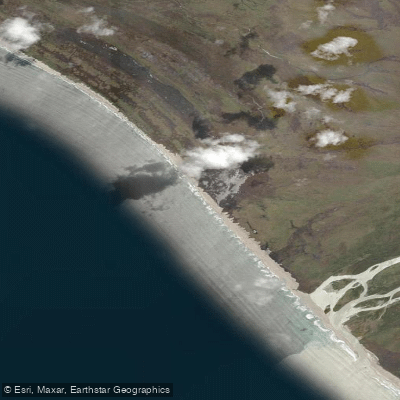
The waters of Laguna San Rafael National Park belong to a remote corner of Chilean Patagonia where glaciers, fjords, channels, and freshwater lakes converge in the Aysén Region.
The park sits between the Exploradores and Baker rivers, anchored by the Northern Patagonian Ice Field, and covers more than 1. 7 million hectares — most of it accessible only by water.
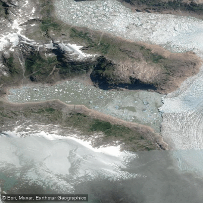
That fact alone defines the paddling here: this is a place where the boat is not optional. The centerpiece is Laguna San Rafael itself, the tidal lagoon into which the San Rafael Glacier calves.
The glacier's ice front runs nearly 4 kilometers wide and stands 60 meters high; when a section breaks free, the resulting wave is real and immediate.
Paddlers approach by water — there is no other way — and the lagoon is shared with drifting icebergs of varying size. Situational awareness and a stable hull matter here.
The surrounding channels and fjords extend the paddling beyond the lagoon, threading through a landscape of temperate rainforest, hanging glaciers, and waterfalls.
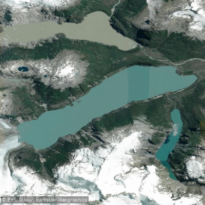
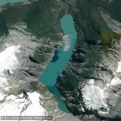
Lago Leones, reached via the Leones Valley, sits deeper in the park and offers a quieter counterpoint to the glacier lagoon.
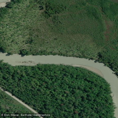
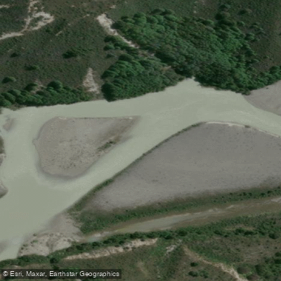
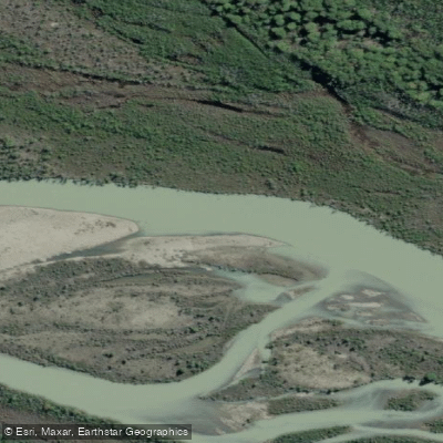
The route from Puerto Río Tranquilo crosses Lago General Carrera and follows the Río Exploradores to reach the park's eastern approaches — a multi-day corridor that opened fully in 2010 and remains one of the more committing ways in.
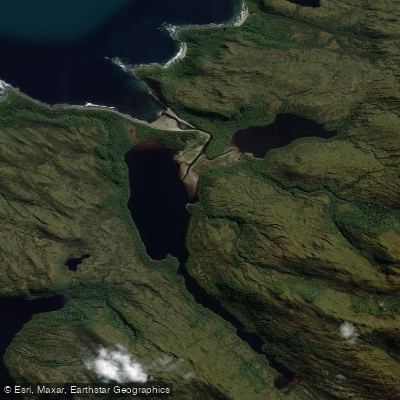
Laguna de Los Témpanos and Laguna Cachorro are among the park's interior waters.
The park is open year-round, though the Patagonian climate — 120 to 200 inches of annual rainfall, polar conditions at elevation — means conditions vary sharply by season and by day.
Access to the lagoon and glacier typically departs from Puerto Chacabuco, roughly 80 kilometers west of Coyhaique, or from Puerto Río Tranquilo to the south. Maritime tours must be booked in advance.
For park entry and overnight trips, check current requirements directly with CONAF at pasesparques. cl or by contacting the Aysén office — rules for a Biosphere Reserve of this scale are worth confirming before you load the boat.
The Chono people navigated these same channels for generations in their canoes, hunting and fishing across the islands between Chiloé and the Taitao Peninsula. Paddling here now carries that weight — a place where the water has always been the road.
Top waters to paddle near Laguna San Rafael National Park
Water and weather conditions (10 day forecast)
See the best times to paddle Laguna San Rafael National Park and check the forecast before you go.
No forecast data available.
Paddle smarter with real-time insights
Whether you're en route and conditions shift or you're looking for the best spot based on current flows, we enable you to make informed decisions on the fly.







Paddling near Laguna San Rafael National Park
Loading...
Gateway towns
Where to base yourself for paddling in Laguna San Rafael National Park.
- Puerto ChacabucoAysén
Main departure point for catamaran tours to the San Rafael Glacier through the Patagonian channels.
- Puerto Río TranquiloAysén
Alternate base for land-and-sea access via the Exploradores River valley, with boat and small-plane excursions to the park.
- CoyhaiqueAysén
Regional hub with the nearest airport; transfers and full-day tours to Puerto Chacabuco depart from here.
Explore Laguna San Rafael National Park
Top paddling waters
Popular Cities
Loading popular cities...

Smarter Paddling Starts in the App.
Paddleways gives you everything you need to plan smarter, paddle better, and own every trip from first launch to takeout.