Paddling in Parque Nacional Chiloé
- National Park
- Lakes
- 1
- Rivers
- 9
- Access
- 0
- Boat Ramps
- 0
- Shops
- 0
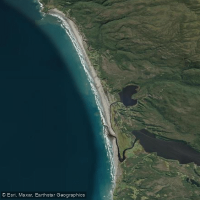
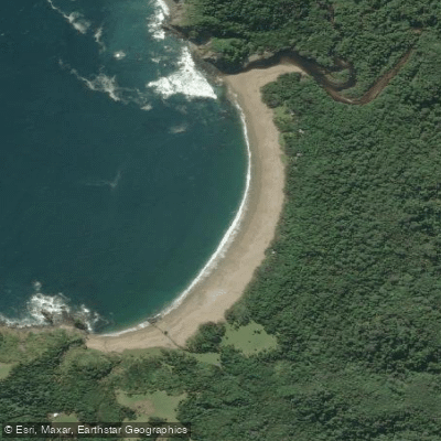
Parque Nacional Chiloé sits on the western, Pacific-facing side of Isla Grande de Chiloé, protecting a landscape of evergreen forest, tepuales, peat bogs, coastal dunes, and open ocean shoreline.
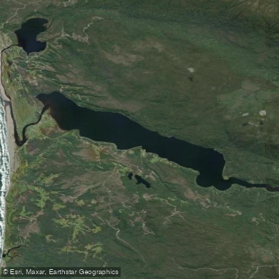
The paddling here is calm-water and tidal — no whitewater — shaped by lakes, rivers, and the flooded terrain left behind by one of the most violent geological events in recorded history. Lago Cucao is the park's most accessible water.
It runs lengthwise through the Cucao–Chanquín sector, the park's main entry point, and guided kayak trips cross it from the village of Cucao.
The route follows the same line Charles Darwin traveled by bongo in 1835, with views of native forest, nalcas, and the surrounding hills. Difficulty is low to moderate, and the trip runs roughly an hour in its standard form.
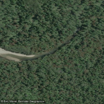
The Río Chepu, in the park's northern sector, is the other anchor.
To reach it, the CONAF route from Puerto Anguay — about 14 kilometers of gravel road — puts you at the river, where you travel downstream by boat before continuing on foot along the coastal trail.
The Chepu valley holds the sunken forest: in 1960, the strongest earthquake ever recorded dropped the land and a tsunami flooded the valley, leaving standing dead trunks in a tidal marsh.
Paddling into that forest at dawn, through mist and silence, is the experience most associated with Chepu. The water is calm; the setting is not easily described. The park is managed by CONAF.
Entry to the Cucao–Chanquín sector requires a digital pass purchased in advance through Pases Parques — download it before you arrive, because mobile signal is limited or absent on the water and in coastal sections.
The park is open year-round, with extended hours in January and February and reduced hours from April through October. The indigenous community of Chanquín also provides visitor services in the Cucao sector. What the park demands most is patience with weather.
This is the Chilean Pacific coast — rain, wind, and shifting tides are the baseline, not the exception. Plan your time on Lago Cucao and Río Chepu around conditions, not the clock.
Water and weather conditions (10 day forecast)
See the best times to paddle Parque Nacional Chiloé and check the forecast before you go.
No forecast data available.
Paddle smarter with real-time insights
Whether you're en route and conditions shift or you're looking for the best spot based on current flows, we enable you to make informed decisions on the fly.







Paddling near Parque Nacional Chiloé
Loading...
Gateway towns
Where to base yourself for paddling in Parque Nacional Chiloé.
- CastroLos Lagos
The island's main hub, with buses to the park's Chanquín sector, tour operators, guides, and the widest range of lodging.
- CucaoLos Lagos
The tiny village at the park's Chanquín entrance, with CONAF cabins and the suspension bridge leading into the trails.
- AncudLos Lagos
Secondary base on the island's north end, with lodging and services for visitors arriving by ferry before heading south to the park.
Explore Parque Nacional Chiloé
Top paddling waters
Popular Cities
Loading popular cities...

Smarter Paddling Starts in the App.
Paddleways gives you everything you need to plan smarter, paddle better, and own every trip from first launch to takeout.