Paddling in Parque Nacional Melimoyu
- National Park
- Lakes
- 2
- Rivers
- 6
- Access
- 0
- Boat Ramps
- 0
- Shops
- 0
Parque Nacional Melimoyu occupies a remote stretch of the Aysén Region where the Andes descend into a labyrinth of channels, fjords, and islands along Chile's Pacific coast.
The park has no road access — reaching it means arriving by sea, typically via Naviera Austral ferry from Quellón (roughly 12 hours) or Puerto Cisne (roughly 7 hours) to the small settlement of Melimoyu, or by arranging private navigation from Raúl Marín Balmaceda.
That isolation defines everything about paddling here. The water is predominantly coastal and tidal.
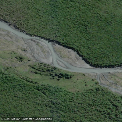
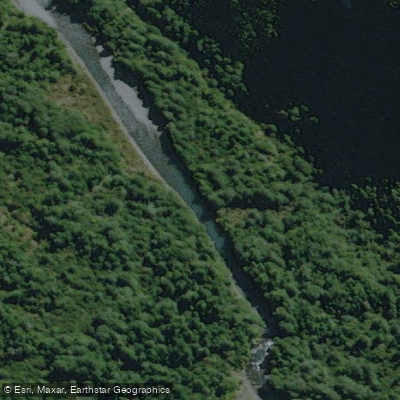
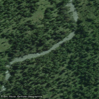
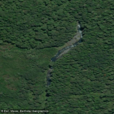
Dozens of rivers carry glacial meltwater and forest runoff down through temperate rainforest and bog into the channels and fjords that make up much of the park's perimeter.
The Río Palena — one of the major drainages in the region — runs along the park's boundary, with the lower Palena and its coastal reaches represented within the protected area.
The Río Risopatrón and unnamed tributaries also fall within the park's mapped watersheds.
The channels themselves, shaped by the same forces that carved the fjords of northern Patagonia, are the primary paddling environment: wide, exposed, and subject to the rapid weather changes that define this coast.
February and March bring the best conditions for the channels — calmer windows between storms, and the same months when blue whales concentrate in the Golfo de Corcovado to feed.
Paddling the fjords during this period means sharing the water with Chilean dolphins, humpback whales, and occasional orcas. Outside of summer, the 113 inches of annual rainfall and persistent wind make open-water crossings genuinely serious undertakings.
CONAF lists the park as currently without visitor infrastructure or public-use facilities. There is no staffed entrance, no established put-ins, and no marked water routes.
Visitors are required to register with CONAF upon entering any national park and pay the applicable fee — check directly with CONAF for current requirements before any trip. This is not a park you drift into casually.
The reward for the logistics is water that very few paddlers have touched, in a landscape where the forest runs straight to the tideline and the channels open toward the open Pacific. Come prepared to be self-sufficient, and to read the weather carefully.
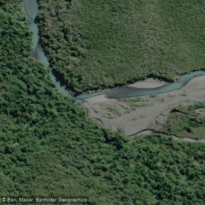
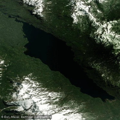
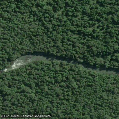
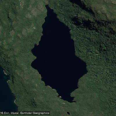
Top waters to paddle near Parque Nacional Melimoyu
Water and weather conditions (10 day forecast)
See the best times to paddle Parque Nacional Melimoyu and check the forecast before you go.
No forecast data available.
Paddle smarter with real-time insights
Whether you're en route and conditions shift or you're looking for the best spot based on current flows, we enable you to make informed decisions on the fly.







Paddling near Parque Nacional Melimoyu
Loading...
Gateway towns
Where to base yourself for paddling in Parque Nacional Melimoyu.
- Raúl Marín BalmacedaAysén
The primary access point for the park, with sea navigation departing from here into the park's channels and fjords.
- La JuntaAysén
The nearest Carretera Austral town, with lodging options including lodges that run guided excursions into the park area.
- MelinkaAysén
An island gateway community listed as a base for reaching the park's coastal and marine areas by boat.
- Puerto CisnesAysén
A Carretera Austral town in the Cisnes commune where the park is located, serving as a regional services hub for visitors.
Explore Parque Nacional Melimoyu
Top paddling waters
Popular Cities
Loading popular cities...

Smarter Paddling Starts in the App.
Paddleways gives you everything you need to plan smarter, paddle better, and own every trip from first launch to takeout.