Paddling in Parque Nacional Queulat
- National Park
- Lakes
- 6
- Rivers
- 2
- Access
- 2
- Boat Ramps
- 0
- Shops
- 0
Parque Nacional Queulat sits in Chile's Aysén region along the northern Carretera Austral, a landscape shaped by glaciers, temperate rainforest, and the constant sound of moving water — the Chono word *queulat* means exactly that.
The park holds fjords, rivers, and glacial lagoons, and its paddling is defined by that same glacial character: cold, dark water, steep walls, and the presence of the Ventisquero Colgante hanging above it all.
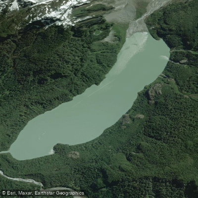
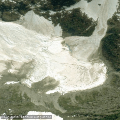
The centerpiece for paddlers is Laguna Témpanos, the glacial lake directly beneath the Ventisquero Colgante. Boat excursions run to the lagoon, and kayak access — guided — puts you on the water with the hanging glacier filling the view above.
This is not a place to freelance; guided kayak trips are the established way in.
The fjord system, including Fiordo Queulat and the connected waters near Puyuhuapi, extends the paddling into open tidal channels where dolphins and sea lions are a real possibility, not a brochure promise.
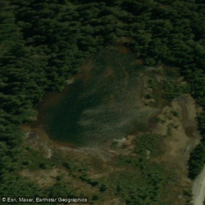
Laguna Los Pumas sits deeper in the park, reached via the Los Pumas trail that follows the shore of Lago Risopatrón before climbing into the forest.
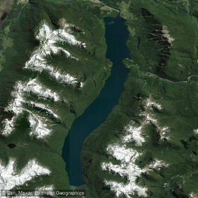
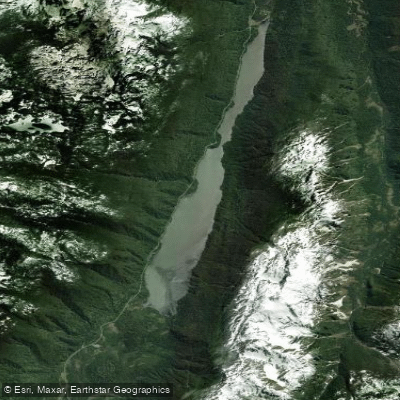
Lago Risopatrón itself connects to the Puyuhuapi Canal and forms part of the park's edge — a long, fjord-like lake that rewards anyone moving through by water as much as by road. Summer is the practical season.
Laguna Témpanos boat excursions run in summer, and the park's trails and water access points are most reliably open then. Entry requires advance online booking through the park's ticketing system; the park is closed on Mondays.
Check current access and any on-water permit requirements directly with CONAF before you go — rules for protected waters in Chilean national parks can shift, and the park contact is the authoritative source. What Queulat asks of a paddler is attentiveness.
The water is glacial and the weather is Patagonian. The reward is a fjord system that still feels genuinely remote, with a hanging glacier close enough to hear.
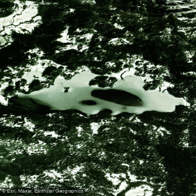
Top waters to paddle near Parque Nacional Queulat
Water and weather conditions (10 day forecast)
See the best times to paddle Parque Nacional Queulat and check the forecast before you go.
No forecast data available.
Paddle smarter with real-time insights
Whether you're en route and conditions shift or you're looking for the best spot based on current flows, we enable you to make informed decisions on the fly.







Paddling near Parque Nacional Queulat
Loading...
Gateway towns
Where to base yourself for paddling in Parque Nacional Queulat.
- PuyuhuapiAysén
Closest town to the park's main Ventisquero Colgante sector, with lodging, hot springs, and the starting point for most visitor itineraries.
- Puerto CisnesAysén
Coastal town serving the park's western access, with bus connections that pass through the Queulat area along the Carretera Austral.
- La JuntaAysén
Northern gateway town along the Carretera Austral with lodging and services for visitors approaching the park from the north.
- Villa AmengualAysén
Small Carretera Austral settlement near the park's southern reaches, used as a base by visitors exploring that end of the park.
Explore Parque Nacional Queulat
Top paddling waters
Popular Cities
Loading popular cities...

Smarter Paddling Starts in the App.
Paddleways gives you everything you need to plan smarter, paddle better, and own every trip from first launch to takeout.