Paddling in Villarrica National Park
- National Park
- Lakes
- 8
- Rivers
- 4
- Access
- 0
- Boat Ramps
- 0
- Shops
- 0
Villarrica National Park holds a landscape shaped by active volcanoes, dense Andean forest, and the rivers and lagoons that drain from them.
The park sits in the Araucanía Region, roughly 18 km from Pucón along a mountain road, and its waters reflect that volcanic and forested character — cold, clear, and fed by snowmelt and heavy rainfall that runs from March through August.
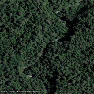
The Río Trancura is the park's most prominent paddling water. It drains toward Lago Villarrica and carries Class 3 to 4 rapids through its upper and middle reaches.
Conditions are best from December through March; in winter, high and unpredictable flows can close the river entirely. The lower reaches run quieter, but the upper sections demand solid whitewater skills and appropriate gear.
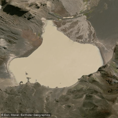
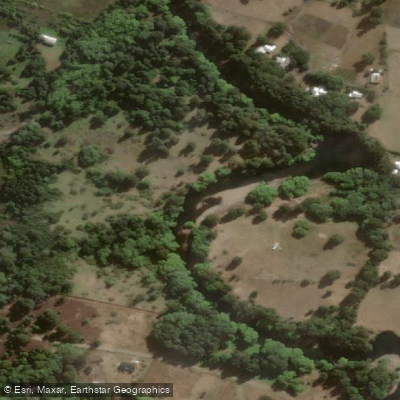
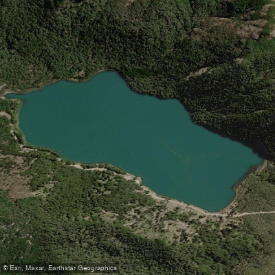
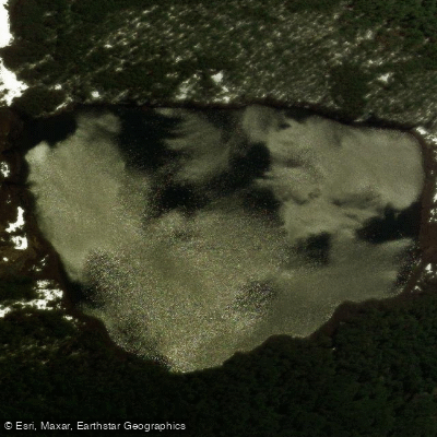
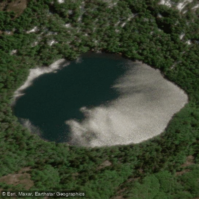
This is moving water in a volcanic landscape, not a mellow float. Inside the park, Laguna Blanca and the Río Llizan represent the quieter end of the spectrum — lagoon and river water set within native forest and volcanic terrain.
Paddlers should treat those waters as exploratory rather than established descents. The park has five entrance sectors, with the Rucapillán entrance near Pucón being the main northern access and the Coñaripe sector serving the southern Los Ríos side.
Road conditions matter, especially in winter when chains are mandatory on access routes. The Villarrica volcano's alert status is a real operational variable — CONAF monitors it continuously, and an elevated alert can close sectors of the park without notice.
Paddling here means paddling inside a protected area under CONAF administration. Check current entry requirements and any sector-specific restrictions directly with the park before launching; rules can shift with volcanic activity or seasonal conditions.
The water is the draw, but the volcano sets the terms.
Top waters to paddle near Villarrica National Park
Water and weather conditions (10 day forecast)
See the best times to paddle Villarrica National Park and check the forecast before you go.
No forecast data available.
Paddle smarter with real-time insights
Whether you're en route and conditions shift or you're looking for the best spot based on current flows, we enable you to make informed decisions on the fly.







Paddling near Villarrica National Park
Loading...
Gateway towns
Where to base yourself for paddling in Villarrica National Park.
- PucónAraucanía
Main gateway with the Rucapillán entrance nearby; full range of outfitters, guides, lodging, and volcano permits.
- VillarricaAraucanía
Lakeside town sharing access to the park's Rucapillán sector with some agencies and lodging options.
- CoñaripeLos Ríos
Entry point for the park's Los Ríos sector via Route 203, serving the park's southern access.
Explore Villarrica National Park
Top paddling waters
Popular Cities
Loading popular cities...

Smarter Paddling Starts in the App.
Paddleways gives you everything you need to plan smarter, paddle better, and own every trip from first launch to takeout.