Afwateringskanaal van Duurswold
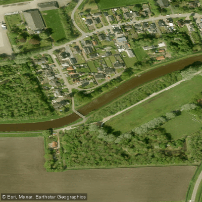
Afwateringskanaal van Duurswold
- Boat Ramps
- 0
- Access Points
- 0
- Campsites
- 0
The Afwateringskanaal van Duurswold is a straight drainage canal in the Dutch province of Groningen, dug between 1869 and 1871 to manage water drainage from the Duurswold region. It stretches 19.1 kilometers in length, varies in width from 13 to 20 meters, and has a depth ranging from 2.85 to 4.10 meters. The canal begins at the Slochterdiep near the hamlet of Schaaphok, runs in a north-northeasterly direction past the hamlet of De Paauwen, then bends eastward before flowing into the western side of the Schildmeer. The area lies between the cities of Groningen and Hoogezand to the southwest and Appingedam to the northeast.
The canal is part of a broader water system known as the Kanalen Duurswold, which also includes the Slochterdiep, the Scharmer Ae, the Woltersumer Aa, and De Groeve. These waterways stand in open connection with the Schildmeer, a naturally formed lake that has been enlarged over time through peat extraction and erosion. The Schildmeer is part of the Natuurnetwerk Nederland and forms a component of the ecological corridor known as the Robuuste Verbindingszone 'Natte As', which aims to connect wetland nature areas across the Netherlands.
While the primary function of the canal is water management — drainage and supply — it is also officially recognized as serving recreational boating and fishing. The relatively consistent depth and moderate width make it navigable, and the connection to the Schildmeer offers the possibility of extending a paddle onto open water. The canal follows the course of a former natural waterway, the Schildmaar, which historically linked the Schildmeer with the Slochter Ae and the Fivel.
Water access, boat ramps & amenities
Learn how to get on Afwateringskanaal van Duurswold. Uncover great paddling access points, boat ramps, and all the facilities you need for an unforgettable day on the water. Some locations shown may border or include private property. Always check property boundaries and applicable regulations before visiting. PaddleWays's Public & Private Land layer can help you plan your access with confidence.
Paddle smarter with real-time insights
Whether you're en route and conditions shift or you're looking for the best spot based on current flows, we enable you to make informed decisions on the fly.







Groningen licenses and regulations
No licenses or regulations available for Groningen.
Find Places to Paddle

Over 400,000 Places to Paddle
Every user gets free access to launch points, boat ramps, and public property parcels.


Water and weather conditions (10 day forecast)
See the best times to paddle Afwateringskanaal van Duurswold and check the forecast before you go.
No forecast data available.
Paddling near Afwateringskanaal van Duurswold
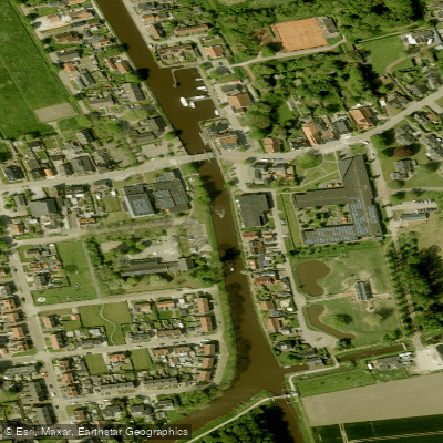
Termunterzijldiep
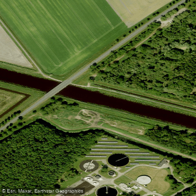
A.G. Wildervanckkanaal
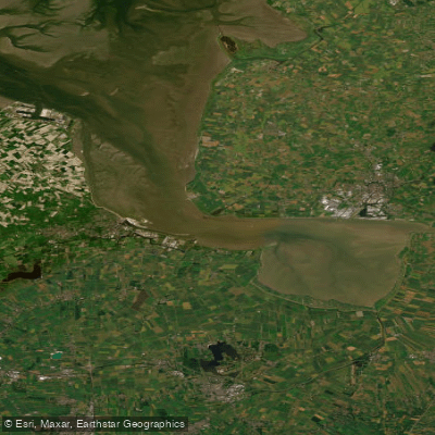
Eems-Dollard
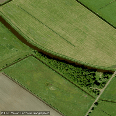
Hunze
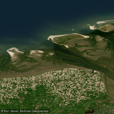
Eems-Dollard (kustwater)
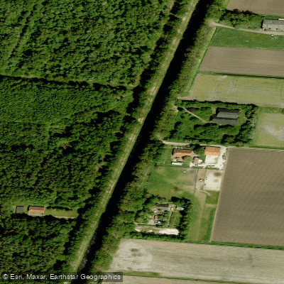
Ruiten Aa Kanaal
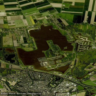
Oldambtmeer
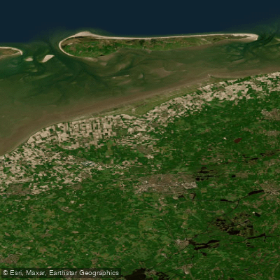
Waddenzee vastelandskust
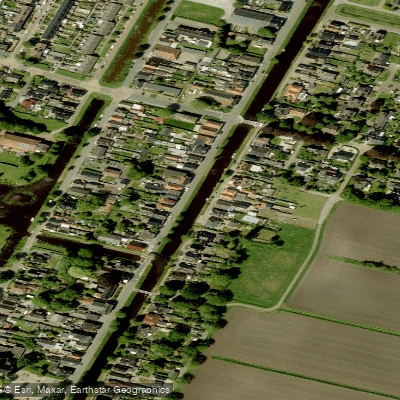
Oosterdiep
Explore Groningen waters
Top paddling waters
No waters available right now.
Popular Cities
Loading popular cities...
Explore near Afwateringskanaal van Duurswold

Smarter Paddling Starts in the App.
Paddleways gives you everything you need to plan smarter, paddle better, and own every trip from first launch to takeout.