Lake Waikaremoana
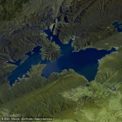
Lake Waikaremoana
- Boat Ramps
- 0
- Access Points
- 0
- Campsites
- 9
Lake Waikaremoana is located in Te Urewera on New Zealand's North Island, approximately 80 kilometres southwest of Gisborne and 60 kilometres northwest of Wairoa. Formed roughly 2,200 years ago when a landslide blocked the Waikaretaheke River, the lake sits at an elevation of around 585–600 metres in the Huiarau mountain range. It covers approximately 49 square kilometres with a shoreline of over 80 kilometres of bush-clad inlets and bays, a maximum depth of 256 metres, and an average depth of 75 metres, making it the deepest lake in the North Island.
Kayaking and canoeing are recognised activities on the lake. The lake's many sheltered bays and inlets make it well-suited to paddling, though wind can build significantly and paddlers should monitor forecasts carefully before heading out. The lake's extensive depth and complex shoreline with numerous arms and inlets give it a distinctly remote, wilderness character. The surrounding forest is prehistoric in character, and the area is the homeland of Ngāi Tūhoe.
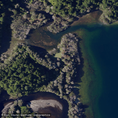
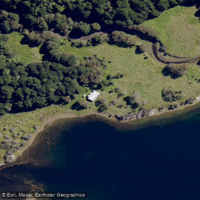
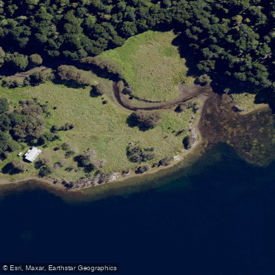
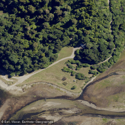
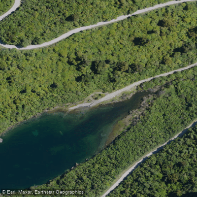
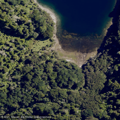
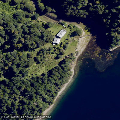
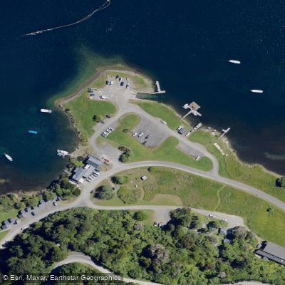
Four boat ramps provide access around the lake, located at Mokau Landing, Home Bay, Rosie Bay, and Onepoto. A water taxi service operates on the lake, run by Tūhoe out of the Te Urewera Visitor Centre (Te Kura Whenua), and can transport paddlers to individual huts and campsites around the lake. Booking in advance is strongly recommended.
Huts and campsites are available around the lakeshore, managed under the Department of Conservation's Great Walk system. Hut fees are NZD $35 per adult per night (both New Zealand and international visitors), with reduced rates for children. Campsite fees also apply. Bookings are required. The Lake Waikaremoana Holiday Park near Te Karetu provides additional accommodation options including chalets, cabins, and tent sites, with kitchen facilities, hot showers, and laundry available.
The lake is accessible year-round. There is no cell service in the area, so trip planning and communications should be completed before arrival. Hydro-electric power generation infrastructure has been present on the lake since the 1920s. The use of downriggers, paravanes, and metal-cored or wire lines is prohibited on the lake, a regulation primarily directed at anglers but worth noting for any paddlers who fish from their craft. Te Urewera is recognised in New Zealand law as a legal entity, governed by a board and managed by Te Uru Taumatua, Ngāi Tūhoe's operational entity.
Water access, boat ramps & amenities
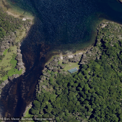
Learn how to get on Lake Waikaremoana. Uncover great paddling access points, boat ramps, and all the facilities you need for an unforgettable day on the water. Some locations shown may border or include private property. Always check property boundaries and applicable regulations before visiting. PaddleWays's Public & Private Land layer can help you plan your access with confidence.
Paddle smarter with real-time insights
Whether you're en route and conditions shift or you're looking for the best spot based on current flows, we enable you to make informed decisions on the fly.







Hawke's Bay licenses and regulations
No licenses or regulations available for Hawke's Bay.
Find Places to Paddle

Over 400,000 Places to Paddle
Every user gets free access to launch points, boat ramps, and public property parcels.


Water and weather conditions (10 day forecast)
See the best times to paddle Lake Waikaremoana and check the forecast before you go.
No forecast data available.
Paddling near Lake Waikaremoana
Mohaka River
Waiau River
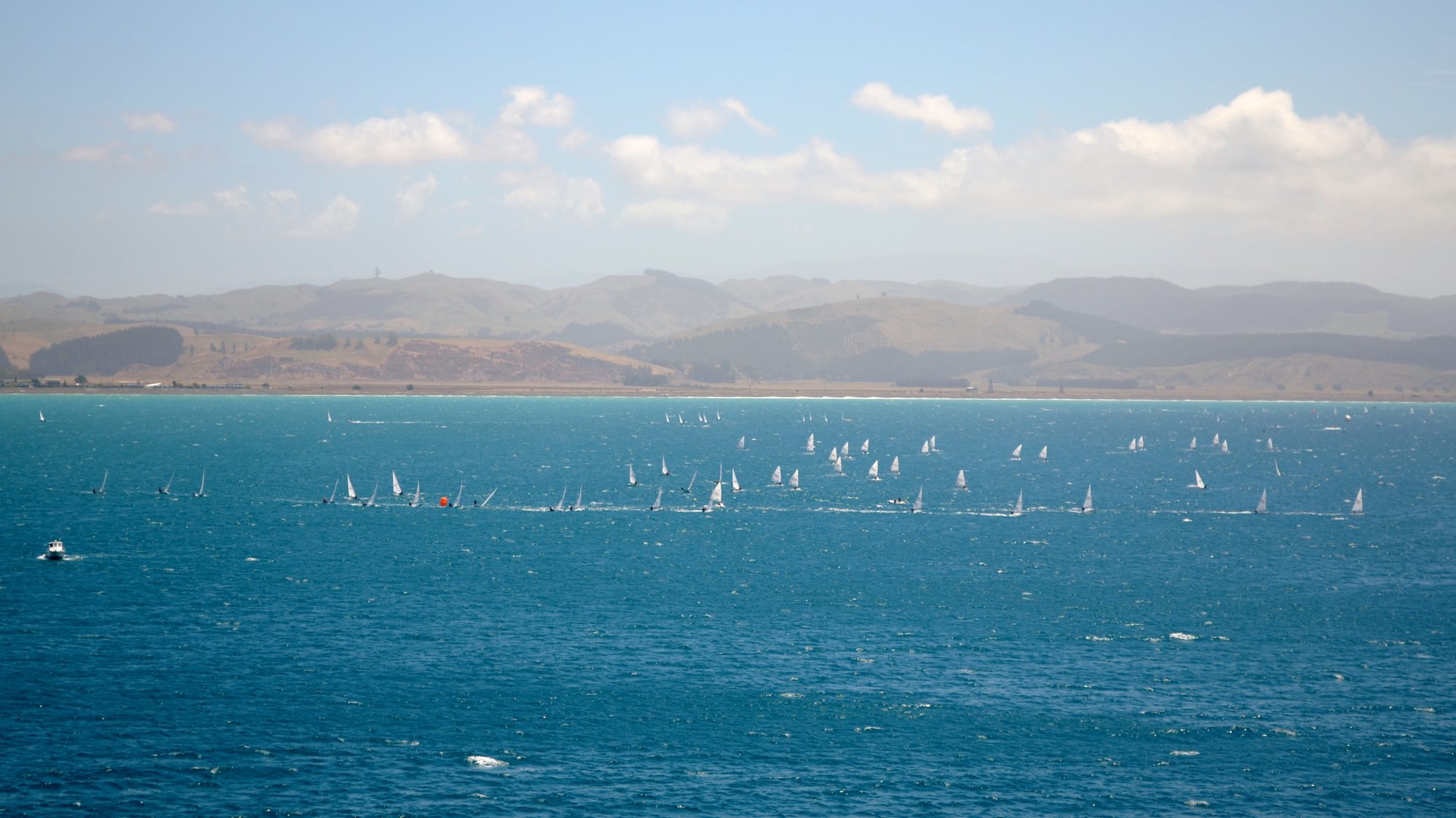
Hawke Bay
Waipunga River
Ruawharo Harbour / Te Whanga o Ruawharo
Esk River
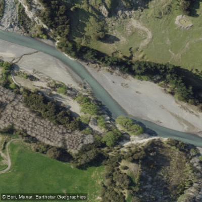
Tutaekuri River
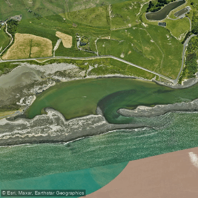
Whakamahi Lagoon
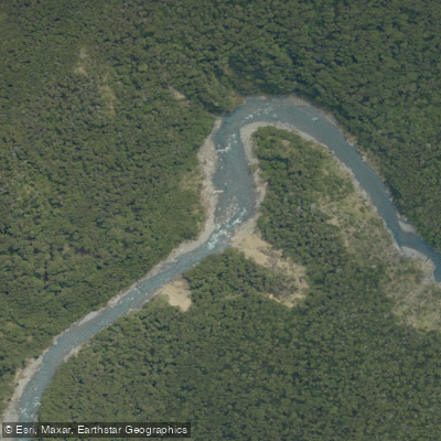
Ngaruroro River
Explore Hawke's Bay waters
Top paddling waters
No waters available right now.
Popular Cities
Loading popular cities...
Explore near Lake Waikaremoana
Access points
Nearby waters
More in Hawke's Bay

Smarter Paddling Starts in the App.
Paddleways gives you everything you need to plan smarter, paddle better, and own every trip from first launch to takeout.