Mohaka River
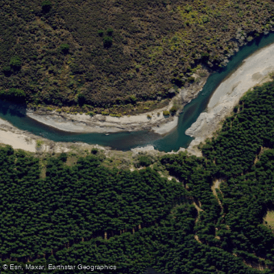
Mohaka River
- Boat Ramps
- 0
- Access Points
- 0
- Campsites
- 7
The Mohaka River is located in Hawke's Bay on New Zealand's North Island and is nationally recognized as one of the country's premier whitewater destinations. The river forms at the confluence of the Oamaru and Kaipo rivers and flows through a range of terrain including gorges and native forest before reaching the lower sections near Willowflat. Its stable water flows mean the river can be paddled year-round, remaining usable when many other New Zealand rivers drop too low in summer.
The river accommodates a wide range of paddling abilities along its length. Upper sections run at Grade 2 to 3, offering accessible whitewater suitable for beginners and intermediate paddlers, while the Te Hoe and Mokonui gorges contain technical Grade 4 and 5 rapids that carry an international reputation for difficulty. The river is particularly valued for its progressive increase in skill demands as paddlers move downstream. Commercial rafting and kayaking operators run trips on the river, and multi-day expeditions are a well-established format here.
Access to the upper river requires significant effort. The most straightforward approach is to park at the public carpark outside Poronui Station and walk approximately 9 kilometres (around 4 hours) along a poled public route to the river confluence. Helicopter access to private airstrips or the DOC helicopter pad at Oamaru Hut is an alternative. Further downstream, road access points include Pakaututu Bridge, McVicars Road Bridge, and Willowflat Road Bridge off SH2. The Te Hoe Junction is accessible from both SH5 via Waitara Road and SH2 via Pohokura Road.
A critical consideration is land access. While paddling the river itself is permitted, much of the riverbank is privately owned and legally off-limits without prior permission. Paddlers should remain on the water when passing through private land and plan overnight stops on public land or at DOC facilities such as Oamaru Hut. Jet boating above Pakaututu Road Bridge is prohibited at all times.
The river flows through spectacular gorges and native forest, and the whio (blue duck), a rare native species, has been observed along the river. Rainbow and brown trout are present throughout the system. The upper Mohaka provides a genuine backcountry experience, with the remoteness and access demands reflecting its wilderness character.
Water access, boat ramps & amenities
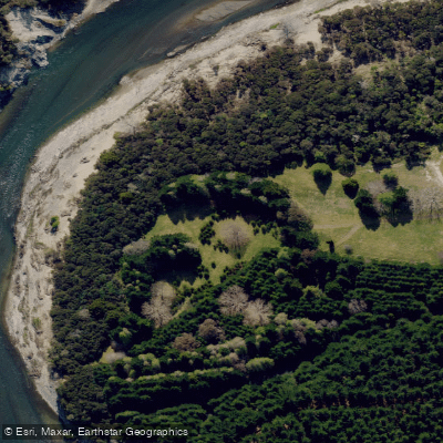
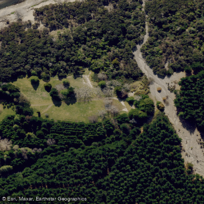
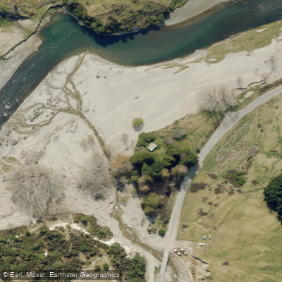
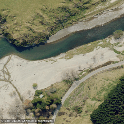
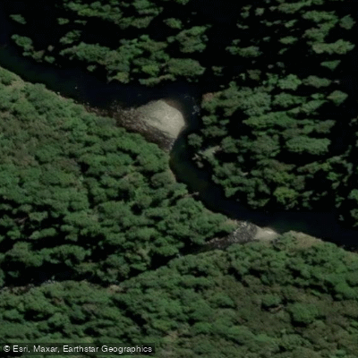
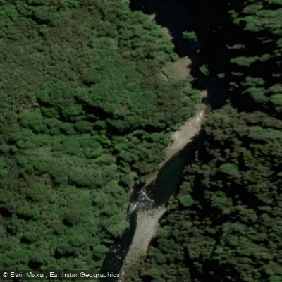
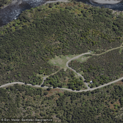
Learn how to get on Mohaka River. Uncover great paddling access points, boat ramps, and all the facilities you need for an unforgettable day on the water. Some locations shown may border or include private property. Always check property boundaries and applicable regulations before visiting. PaddleWays's Public & Private Land layer can help you plan your access with confidence.
Paddle smarter with real-time insights
Whether you're en route and conditions shift or you're looking for the best spot based on current flows, we enable you to make informed decisions on the fly.







Hawke's Bay licenses and regulations
No licenses or regulations available for Hawke's Bay.
Find Places to Paddle

Over 400,000 Places to Paddle
Every user gets free access to launch points, boat ramps, and public property parcels.


Water and weather conditions (10 day forecast)
See the best times to paddle Mohaka River and check the forecast before you go.
No forecast data available.
Paddling near Mohaka River
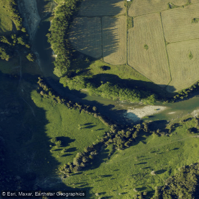
Waiau River
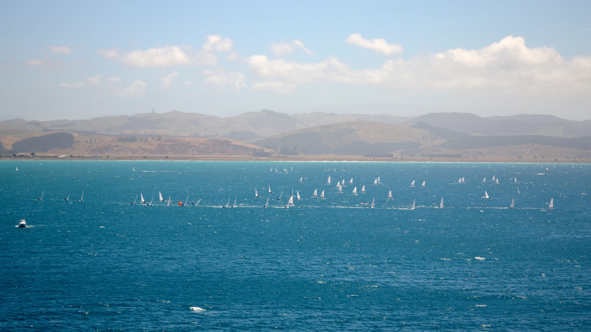
Hawke Bay
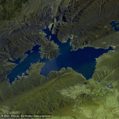
Lake Waikaremoana
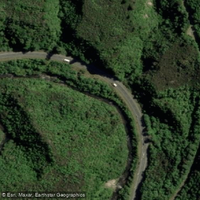
Waipunga River
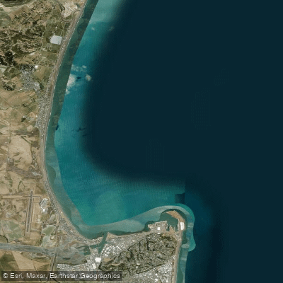
Ruawharo Harbour / Te Whanga o Ruawharo
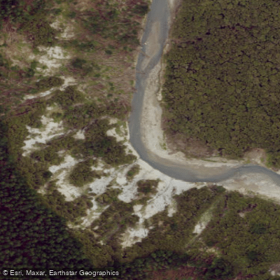
Esk River
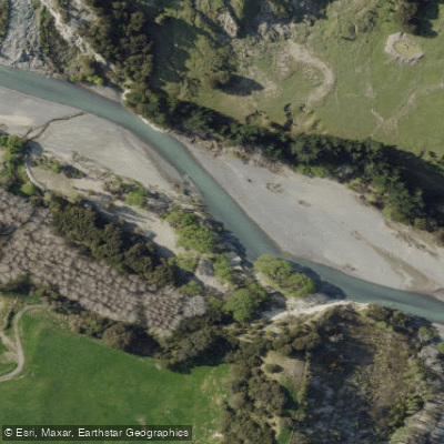
Tutaekuri River
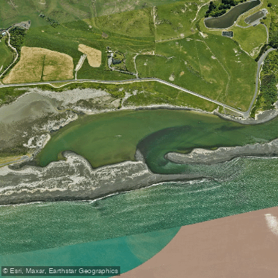
Whakamahi Lagoon
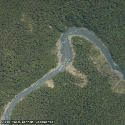
Ngaruroro River
Explore Hawke's Bay waters
Top paddling waters
No waters available right now.
Popular Cities
Loading popular cities...
Explore near Mohaka River
Access points
Nearby waters
More in Hawke's Bay

Smarter Paddling Starts in the App.
Paddleways gives you everything you need to plan smarter, paddle better, and own every trip from first launch to takeout.