Ngaruroro River
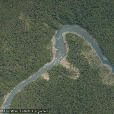
Ngaruroro River
- Boat Ramps
- 0
- Access Points
- 0
- Campsites
- 2
The Ngaruroro River originates high in the Kaweka Ranges of New Zealand's North Island, running approximately 164km through the Kaimanawa and Ruahine Ranges before descending onto the Heretaunga Plains in Hawke's Bay and emptying into the Pacific near Clive via the Waitangi Estuary. The upper river is the primary focus for paddlers, offering a predominantly Grade 3–4 experience through remote gorges and wilderness terrain.
The classic whitewater run extends from Kuripapango to Whanawhana, covering 39km and typically taking 4–10 hours. The put-in is at the Ngaruroro bridge at Kuripapango on the Napier–Taihape Road (Gentle Annie Road), and the take-out is at the Otaumuri Stream junction on river left. The shuttle involves approximately 55km of winding gravel road. The river in this section is single-channel, passing through wild and remote gorges, and is well-suited as an overnighter. The river carries predominantly Class 2 and 3 rapids with several Class 4 rapids. A minimum flow of around 15 cumecs is generally considered workable, with the character shifting toward Grade 4 at approximately 50 cumecs.
The uppermost sections of the river, above the Napier–Taihape Road in the Kaweka Ranges, are difficult to access and typically require helicopter access. Commercial operators run multi-day trips of up to five days into this area, beginning at Boyd Lodge in Kaimanawa Forest Park and finishing at Kuripapango. These trips cover around 65km through Kaweka Forest Park.
The paddling season is short, generally running from October to December, dependent on river flow. Spring rains are needed to bring the river to a paddleable level, and by November the water has warmed enough for swimming. During summer, parts of the river can drop to flows unsuitable for rafting.
The water in the upper reaches is exceptionally clear and clean — reportedly drinkable directly from the river. The surrounding landscape consists of unlogged bush, steep hillsides covered in kanuka and beech forest, and the area is remote enough that encountering other parties is uncommon. Wildlife sightings can include whio (blue duck), kererū, kākā, and kārearea (New Zealand falcon). Access at Kuripapango includes a picnic area and DOC facilities, with river access available for rafts at this point.
Water access, boat ramps & amenities
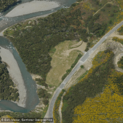
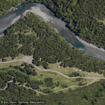
Learn how to get on Ngaruroro River. Uncover great paddling access points, boat ramps, and all the facilities you need for an unforgettable day on the water. Some locations shown may border or include private property. Always check property boundaries and applicable regulations before visiting. PaddleWays's Public & Private Land layer can help you plan your access with confidence.
Paddle smarter with real-time insights
Whether you're en route and conditions shift or you're looking for the best spot based on current flows, we enable you to make informed decisions on the fly.







Hawke's Bay licenses and regulations
No licenses or regulations available for Hawke's Bay.
Find Places to Paddle

Over 400,000 Places to Paddle
Every user gets free access to launch points, boat ramps, and public property parcels.


Water and weather conditions (10 day forecast)
See the best times to paddle Ngaruroro River and check the forecast before you go.
No forecast data available.
Paddling near Ngaruroro River
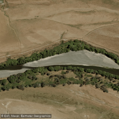
Tukituki River
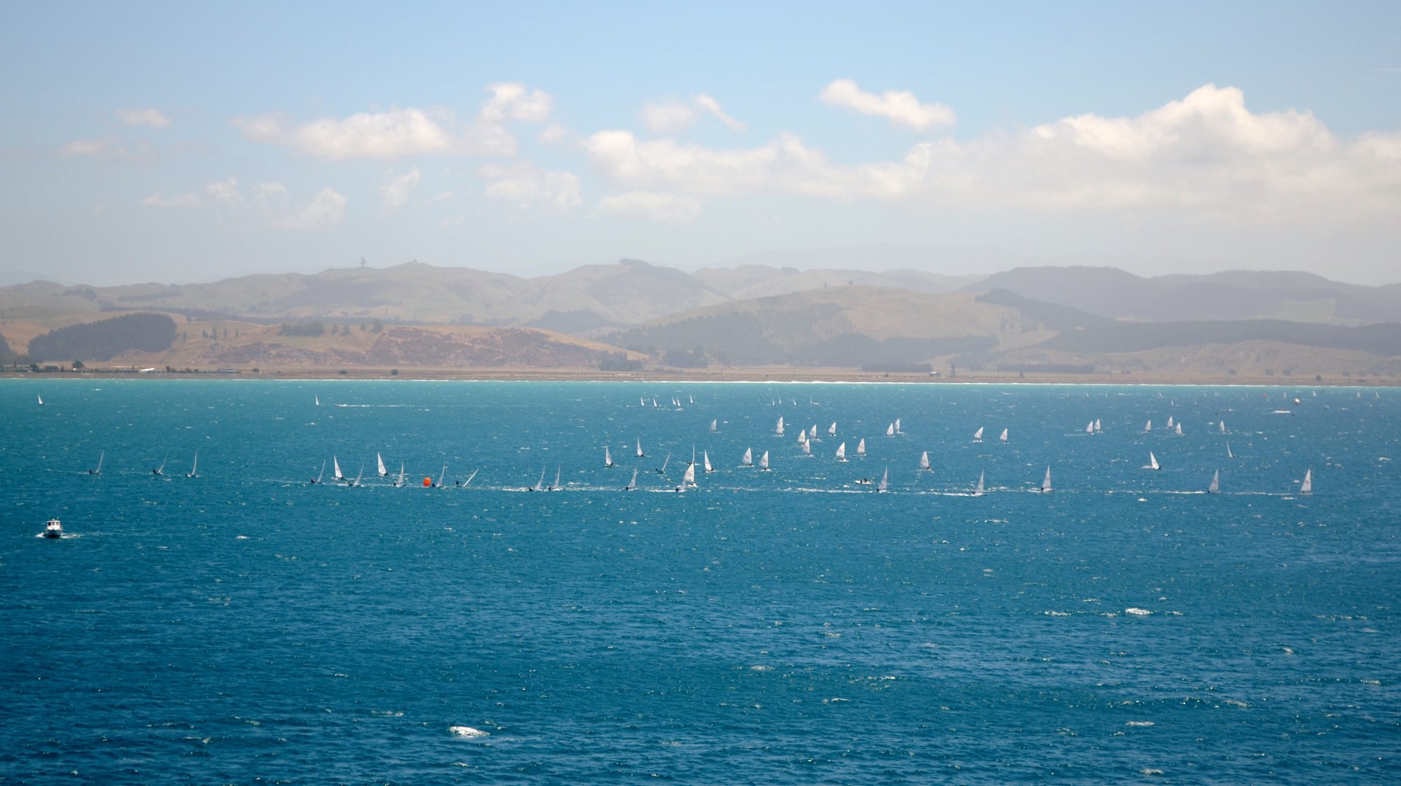
Hawke Bay
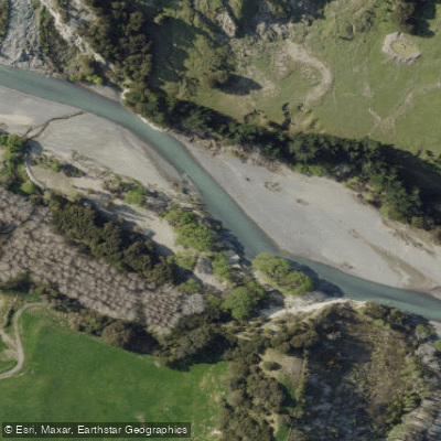
Tutaekuri River
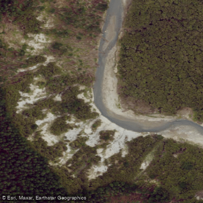
Esk River
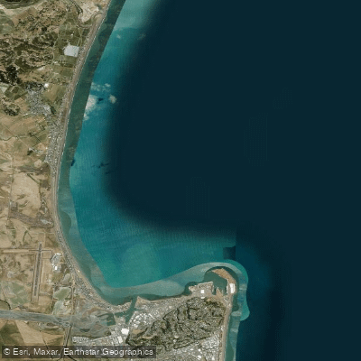
Ruawharo Harbour / Te Whanga o Ruawharo
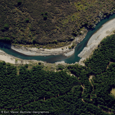
Mohaka River
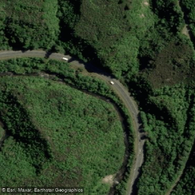
Waipunga River
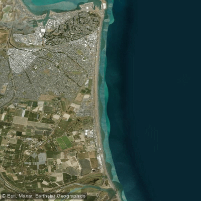
Pacific Beach
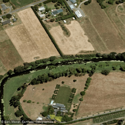
Karamu Stream
Explore Hawke's Bay waters
Top paddling waters
No waters available right now.
Popular Cities
Loading popular cities...
Explore near Ngaruroro River

Smarter Paddling Starts in the App.
Paddleways gives you everything you need to plan smarter, paddle better, and own every trip from first launch to takeout.