Tukituki River
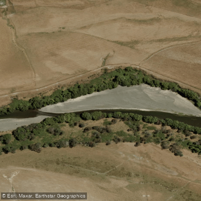
Tukituki River
- Boat Ramps
- 0
- Access Points
- 0
- Campsites
- 1
The Tukituki River flows approximately 117 kilometres from the Ruahine Ranges through southern Hawke's Bay, ultimately reaching the sea at Haumoana. The river changes character considerably along its length, starting relatively small in the upper reaches before gaining volume as tributaries join its flow. The lower river becomes substantially larger as it approaches the coast.
Canoeing is a recognised use of the river, with the most popular paddling trip running from the Hylton Burn Stream down to the Highway 50 Bridge, and occasionally continuing through to Havelock North. During high flows, the river is navigable from the sea up to the Highway 50 Bridge or beyond; under normal flows, the practical upstream limit for boating is the Waipawa Confluence.
The river tends to run low and shallow during late summer, and in some sections can dry up partially during this period. At these times the river is described as "boney" — meaning shallow and rocky — and paddlers should expect close proximity to willow trees along the banks. These conditions make late summer a challenging time for paddling. Higher flows following rainfall improve conditions considerably.
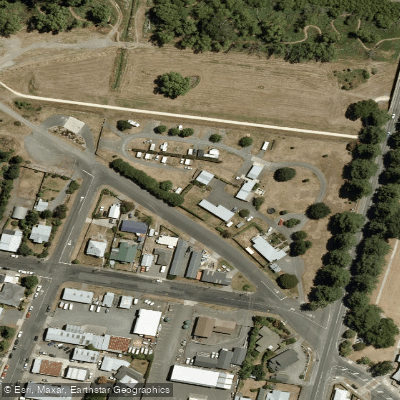
There are numerous vehicle access points along the river corridor. Key points relevant to paddlers include the Hylton Burn area off Tukituki Road, the Waipawa Confluence (known locally as the Breakwater, accessed via Walker Road), the Tamamu Bridge on Pourere Road which provides access from both sides with downstream areas reachable via gravelled vehicle tracks, and the Patangata Bridge where the best access is on the true right downstream via a gravel vehicle track. The Tukituki Road also has a Central Hawke's Bay District Council gravel extraction track that provides vehicle access directly to the river edge, with paddling possible both upstream and downstream from that point.
The river supports a self-sustaining rainbow trout fishery, with some larger brown trout in the lower reaches, so paddlers will share the water with anglers, particularly in the middle reaches which are the most popular fishing area. Algae and slime can increase during summer months as flows reduce, which is worth noting for those considering swimming or water contact during a trip.
Water access, boat ramps & amenities
Learn how to get on Tukituki River. Uncover great paddling access points, boat ramps, and all the facilities you need for an unforgettable day on the water. Some locations shown may border or include private property. Always check property boundaries and applicable regulations before visiting. PaddleWays's Public & Private Land layer can help you plan your access with confidence.
Paddle smarter with real-time insights
Whether you're en route and conditions shift or you're looking for the best spot based on current flows, we enable you to make informed decisions on the fly.







Hawke's Bay licenses and regulations
No licenses or regulations available for Hawke's Bay.
Find Places to Paddle

Over 400,000 Places to Paddle
Every user gets free access to launch points, boat ramps, and public property parcels.


Water and weather conditions (10 day forecast)
See the best times to paddle Tukituki River and check the forecast before you go.
No forecast data available.
Paddling near Tukituki River
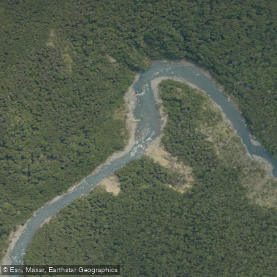
Ngaruroro River
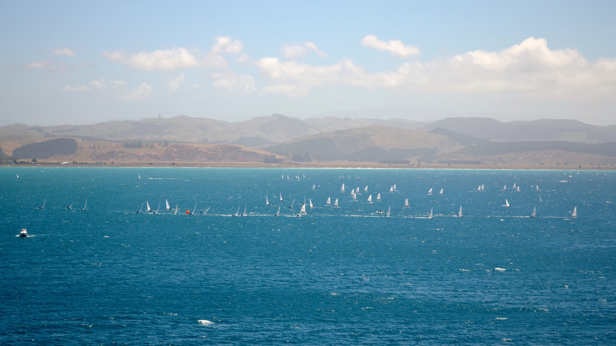
Hawke Bay
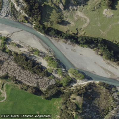
Tutaekuri River
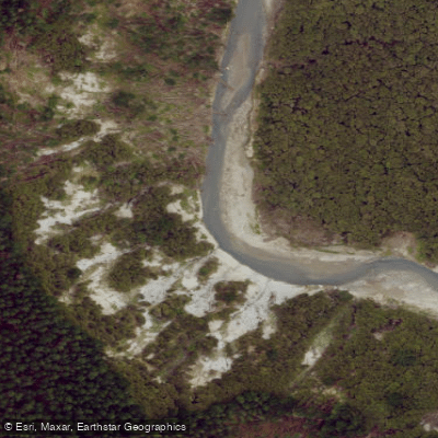
Esk River
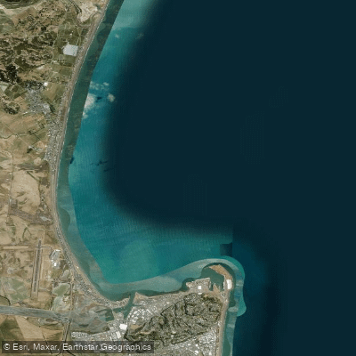
Ruawharo Harbour / Te Whanga o Ruawharo
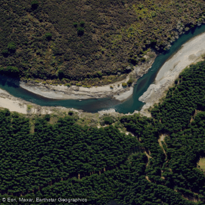
Mohaka River
Karamu Stream
Pacific Beach
Waipunga River
Explore Hawke's Bay waters
Top paddling waters
No waters available right now.
Popular Cities
Loading popular cities...
Explore near Tukituki River

Smarter Paddling Starts in the App.
Paddleways gives you everything you need to plan smarter, paddle better, and own every trip from first launch to takeout.