Tutaekuri River
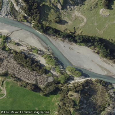
Tutaekuri River
- Boat Ramps
- 0
- Access Points
- 0
- Campsites
- 2
The Tutaekuri River originates deep in the Kaweka Ranges and flows southeast across Hawke's Bay before emptying into a shared estuary with the Ngaruroro River near the coast. Prior to the 1931 Hawke's Bay earthquake, the river discharged through the Ahuriri Estuary behind Napier Hill; the seismic event altered its course to its current outlet.
The most documented paddling section runs from the Lawrence Hut area (accessed via Donald Road) downstream to Dampney Road near Dartmoor. This reach is rated Grade 3 and passes through a rocky gorge. It is noted as not particularly well-known among paddlers, and flow data for trip planning purposes carries some uncertainty. The Dampney Road access involves a gravel road where two-wheel drive is not recommended when wet, and a ford on this route is only considered safe at normal river flows.
A flow monitoring station is located at Ngaroto on the lower river, and real-time flow data is available online through flowrate.co.nz, which paddlers use to assess runnability. The Hawke's Bay Regional Council provides public access to the lower river at Omaranui Road, Hakowhai. Motorized boats are not permitted on the Tutaekuri River.
The shared estuarine mouth where the Tutaekuri meets the Ngaruroro and Te Awa o Mokotūāraro rivers provides habitat for migratory birds and is noted as a birdwatching area. Camping is not permitted at Regional Council river access points due to flood risk, as river levels can rise quickly and unexpectedly.
Water access, boat ramps & amenities
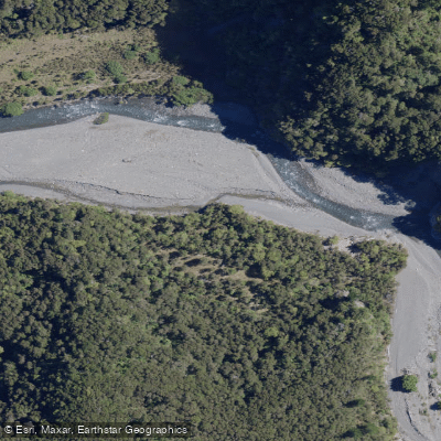
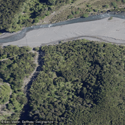
Learn how to get on Tutaekuri River. Uncover great paddling access points, boat ramps, and all the facilities you need for an unforgettable day on the water. Some locations shown may border or include private property. Always check property boundaries and applicable regulations before visiting. PaddleWays's Public & Private Land layer can help you plan your access with confidence.
Paddle smarter with real-time insights
Whether you're en route and conditions shift or you're looking for the best spot based on current flows, we enable you to make informed decisions on the fly.







Hawke's Bay licenses and regulations
No licenses or regulations available for Hawke's Bay.
Find Places to Paddle

Over 400,000 Places to Paddle
Every user gets free access to launch points, boat ramps, and public property parcels.


Water and weather conditions (10 day forecast)
See the best times to paddle Tutaekuri River and check the forecast before you go.
No forecast data available.
Paddling near Tutaekuri River
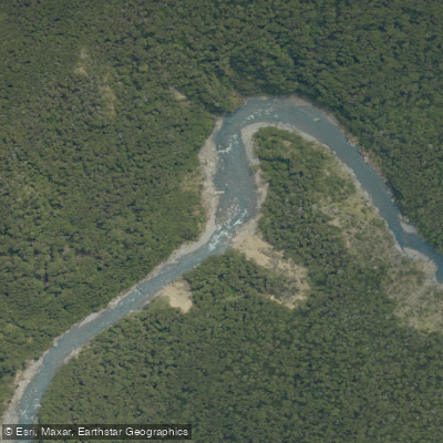
Ngaruroro River
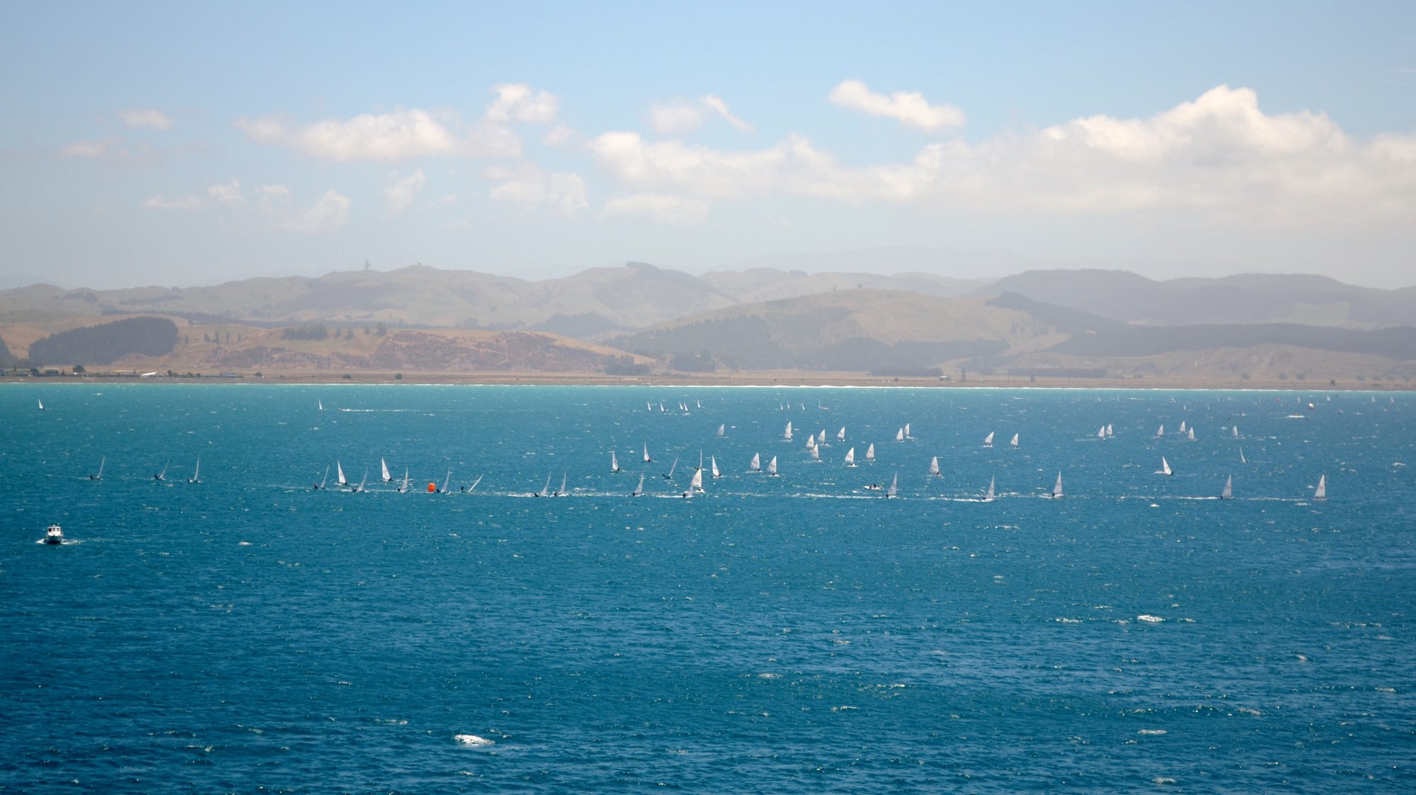
Hawke Bay
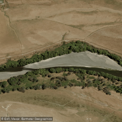
Tukituki River
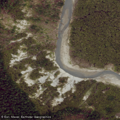
Esk River
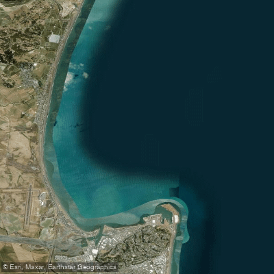
Ruawharo Harbour / Te Whanga o Ruawharo
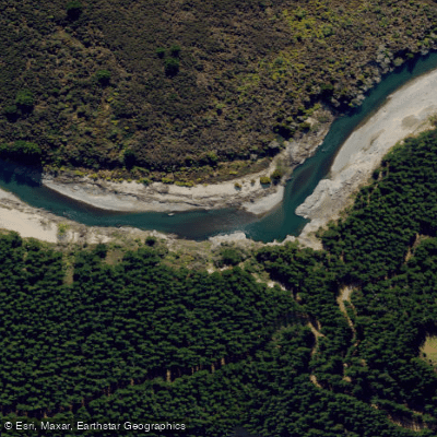
Mohaka River
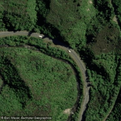
Waipunga River
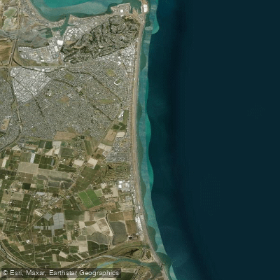
Pacific Beach
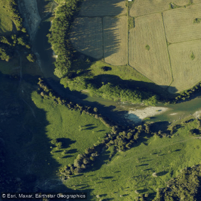
Waiau River
Explore Hawke's Bay waters
Top paddling waters
No waters available right now.
Popular Cities
Loading popular cities...
Explore near Tutaekuri River

Smarter Paddling Starts in the App.
Paddleways gives you everything you need to plan smarter, paddle better, and own every trip from first launch to takeout.