Waipunga River
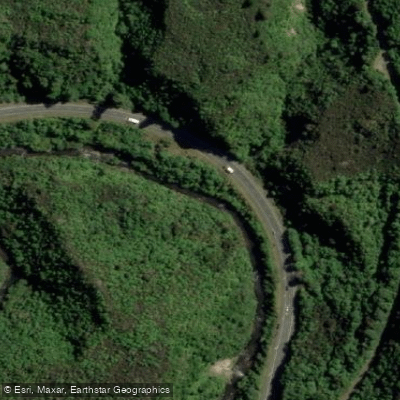
Waipunga River
- Boat Ramps
- 0
- Access Points
- 0
- Campsites
- 0
The Waipunga River flows through the Hawke's Bay region of New Zealand's North Island, eventually joining the Mohaka River. The river features a notable waterfall — Waipunga Falls — which divides the river into distinct upper and lower sections with different characteristics. The section below the falls is accessible for rafting and paddling, while the upper river, accessed via Pohukura Road off SH5 and then Waipunga Road, requires an access permit (contact numbers 07-350 1234 or 07-366 1000 apply for this area).
The river offers a mix of Grade 2 and occasional Grade 3 whitewater, making it suitable for paddlers seeking moving water with some technical challenge. Commercial rafting operations run trips on the Waipunga and adjacent Mohaka River out of Te Haroto, with two-hour and full-day options available, which gives an indication of the trip lengths that are practical on this stretch.
Access to the lower Waipunga area is possible via the Tataraakina Station road, which turns off SH5 approximately 5km south of the Tarawera Tavern. The junction of the Waipunga and Mohaka rivers can be reached via Jock Sutton Road, a Panpac Forestry road off Waitara Road; camping is permitted on the riverbank at this location, though the road may be closed during forestry operations or periods of high fire risk. Drivers on this road are required to use headlights, and open fires are not permitted.
The river corridor includes birdsong and natural bush surroundings typical of this part of the North Island. The upper Waipunga above the falls holds brown trout, which may be of interest to paddler-anglers, though the access permit requirement applies to that section.
Water access, boat ramps & amenities
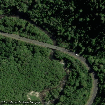
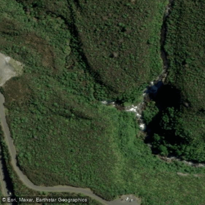
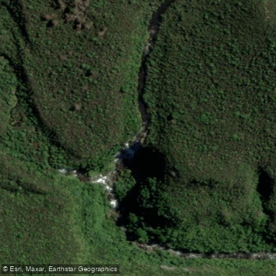
Learn how to get on Waipunga River. Uncover great paddling access points, boat ramps, and all the facilities you need for an unforgettable day on the water. Some locations shown may border or include private property. Always check property boundaries and applicable regulations before visiting. PaddleWays's Public & Private Land layer can help you plan your access with confidence.
Paddle smarter with real-time insights
Whether you're en route and conditions shift or you're looking for the best spot based on current flows, we enable you to make informed decisions on the fly.







Hawke's Bay licenses and regulations
No licenses or regulations available for Hawke's Bay.
Find Places to Paddle

Over 400,000 Places to Paddle
Every user gets free access to launch points, boat ramps, and public property parcels.


Water and weather conditions (10 day forecast)
See the best times to paddle Waipunga River and check the forecast before you go.
No forecast data available.
Paddling near Waipunga River
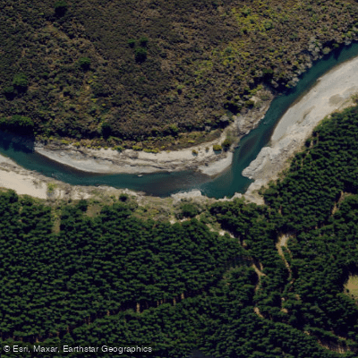
Mohaka River
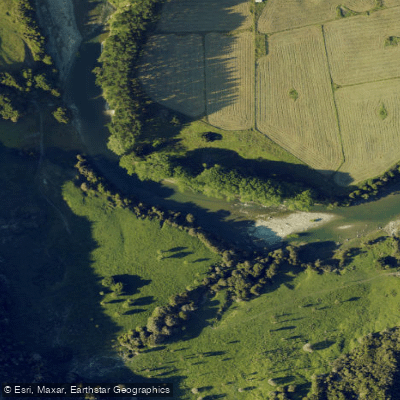
Waiau River
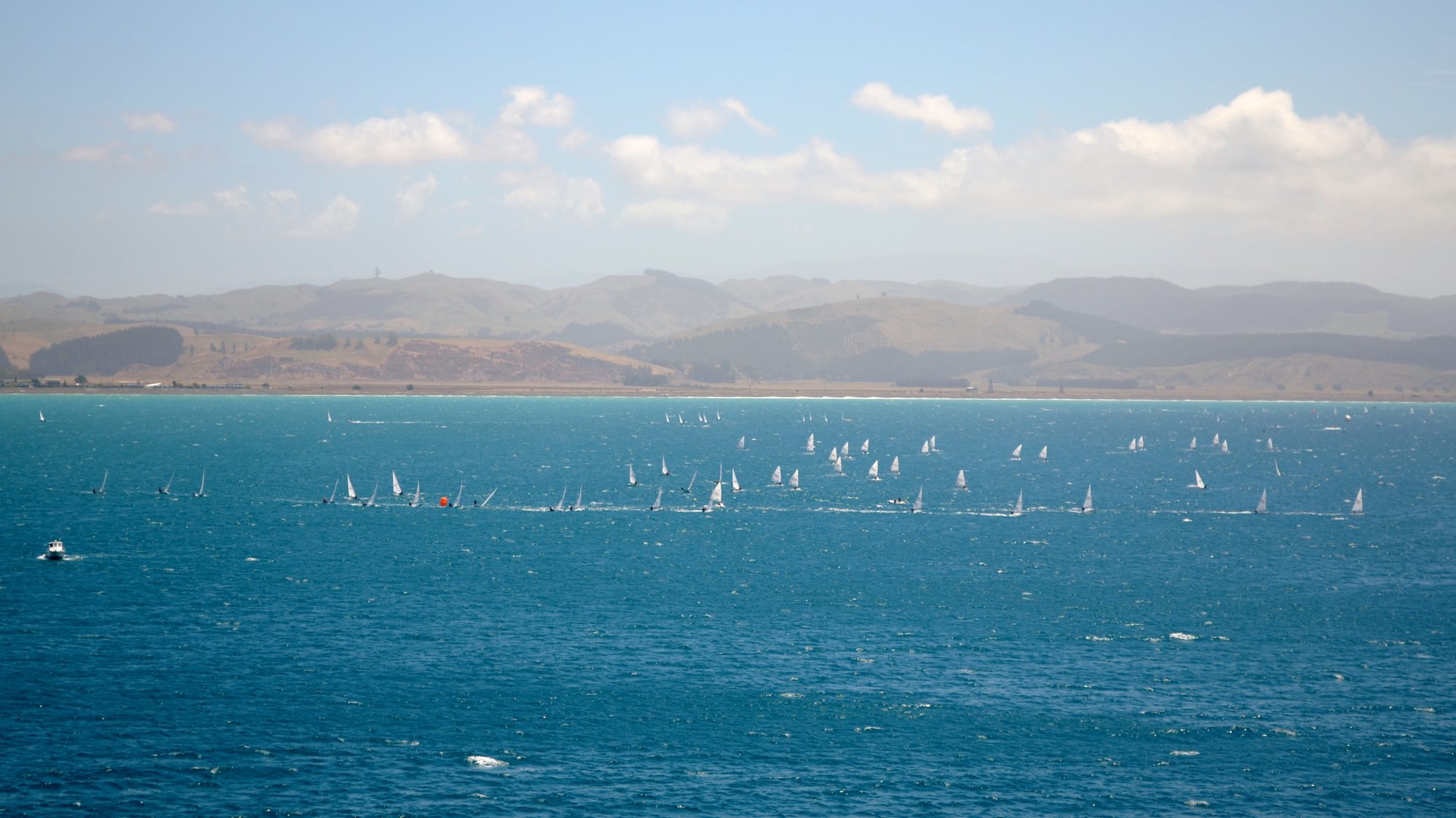
Hawke Bay
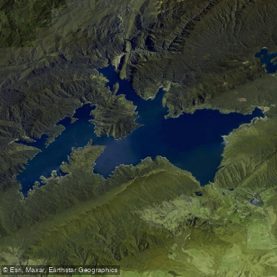
Lake Waikaremoana
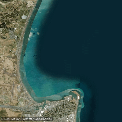
Ruawharo Harbour / Te Whanga o Ruawharo
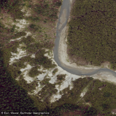
Esk River
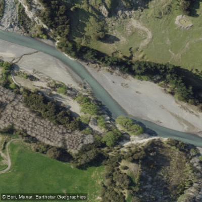
Tutaekuri River
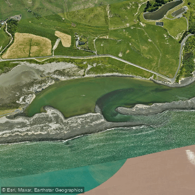
Whakamahi Lagoon
Ngaruroro River
Explore Hawke's Bay waters
Top paddling waters
No waters available right now.
Popular Cities
Loading popular cities...
Explore near Waipunga River

Smarter Paddling Starts in the App.
Paddleways gives you everything you need to plan smarter, paddle better, and own every trip from first launch to takeout.